Pirep is a free, collaborative database of all public and private airports. All pilots are welcome to contribute their local knowledge to any airport, no registration required.


No upcoming events. Is anything happening here soon?
Last updated: 2025-03-20 02:03:52 CDT
Last updated: 2025-03-20 02:03:52 CDT
Last updated: 2025-03-20 02:03:52 CDT
Last updated: 2025-03-20 02:03:52 CDT
Last updated: 2025-03-20 02:03:52 CDT
Airport Statistics
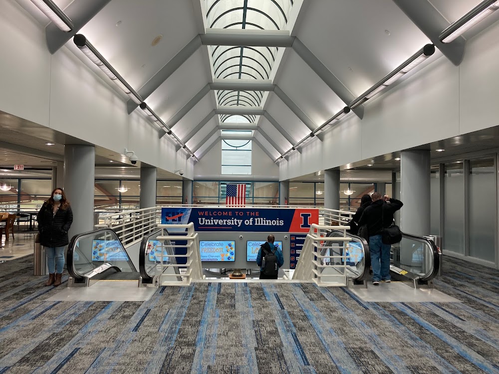
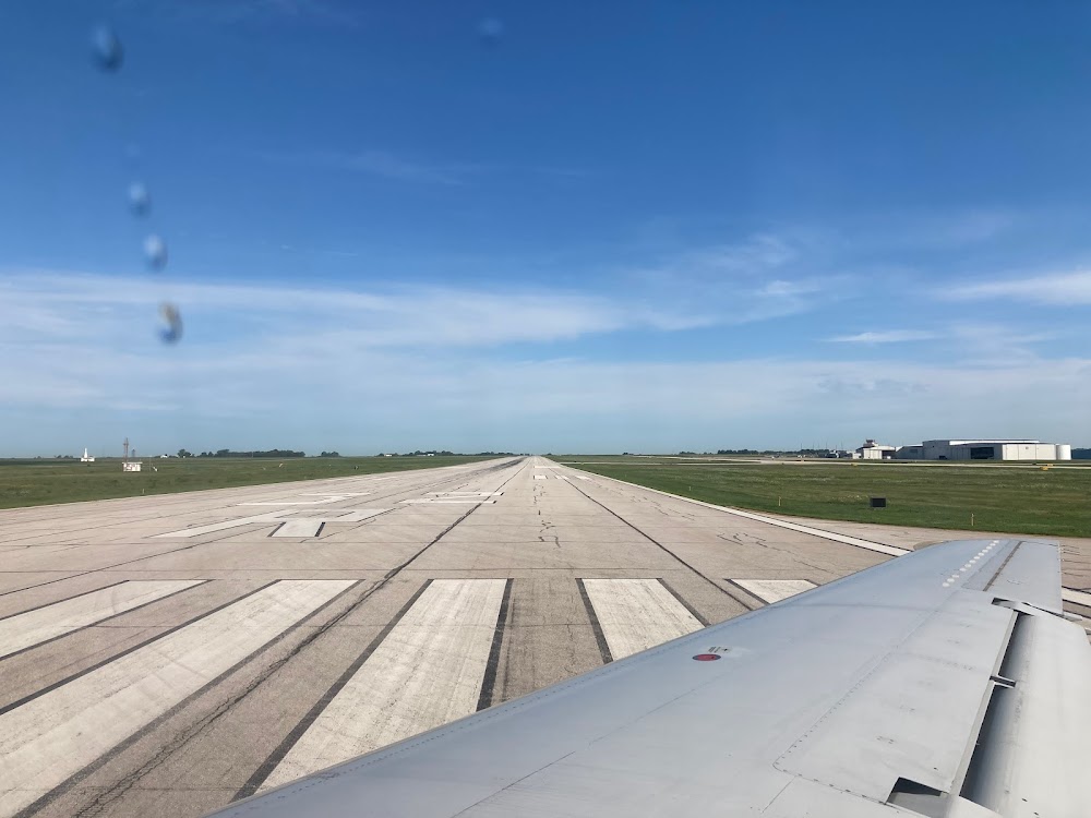
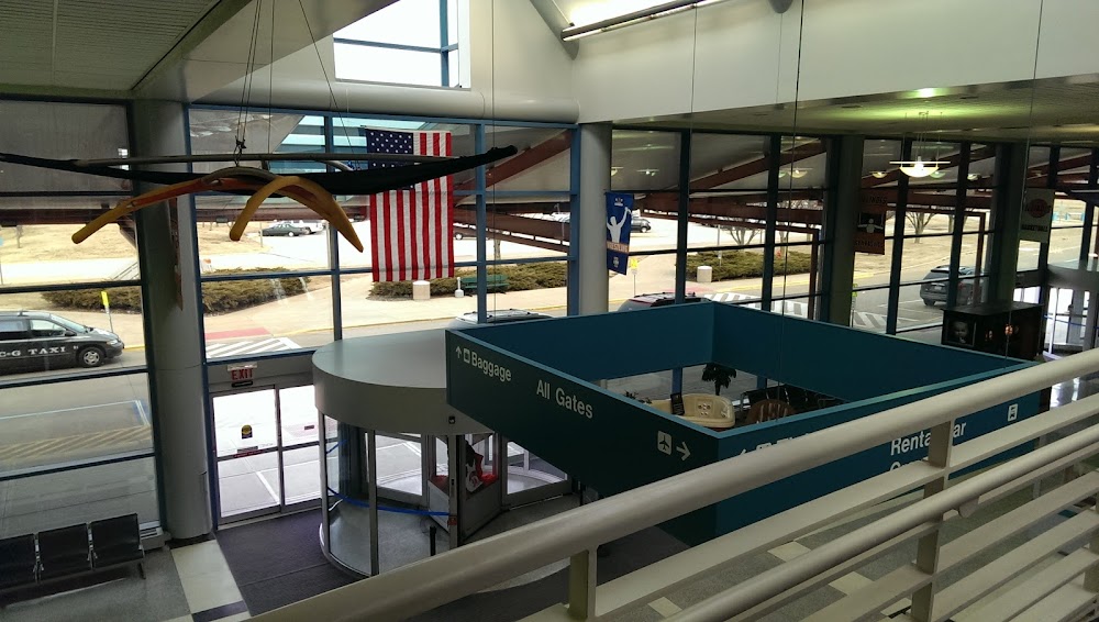
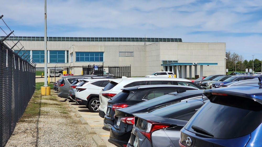
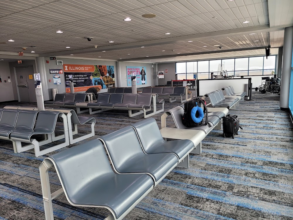
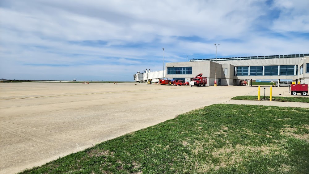
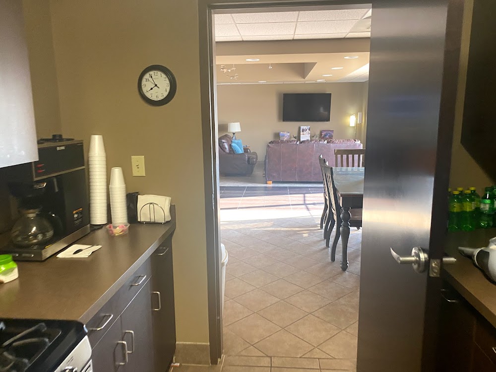
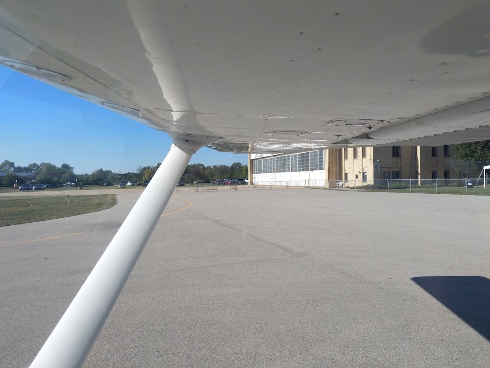
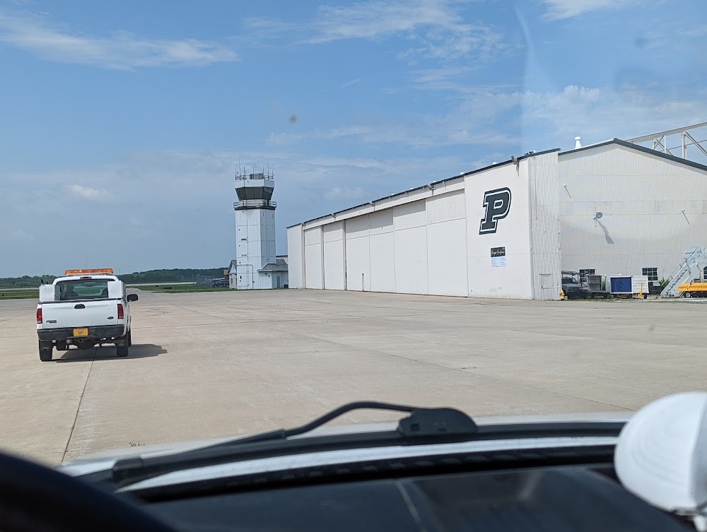
- Airport photos
- Webcam links
- WiFi availability
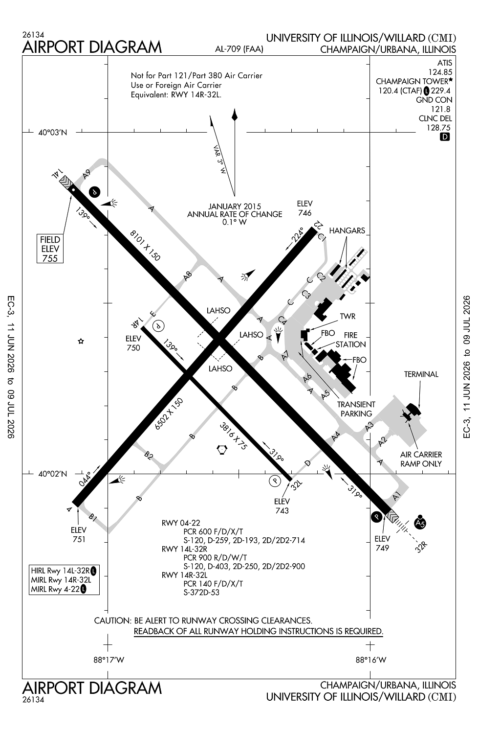
Location:
Champaign/Urbana, IL
Elevation:
754ft
Sectional:
Chicago
Activation date:
May 1945
Fuel:
100LL, A1+ (prices)
Runway 14L/32R:
8,101ft
Runway 04/22:
6,502ft
Runway 14R/32L:
3,816ft
Access: Open to the public
Similar Airports
Current Weather — VFR
-
Weather data is strictly informational and not for flight planning purposes.
-
METAR2026-07-29 02:53:00 CDT
Ceiling: Sky clear Wind: 290° @ 3kt Temperature: 60°F Dewpoint: 57°F Weather: N/A Visbility: 10SM Raw:METAR KCMI 290753Z AUTO 29003KT 10SM CLR 16/14 A2992 RMK AO2 SLP126 T01610144 -
TAF2026-07-29 01:00:00 CDT – 2026-07-30 01:00:00 CDT
Ceiling: Sky clear Wind: 030° @ 7kt Weather: N/A Visbility: 6SM Clouds: Few @ 15,000ft Raw:TAF KCMI 290520Z 2906/3006 03007KT P6SM FEW150
Click/tap to add an annotation marker to the map
No webcams added yet.
Remarks
- Tsnt prkg on se ga apn.
- Birds on & invof arpt.
- Twy e & d sw of rwy 14l/32r clsd to acft abv 11800 lb.
- Twy a2 & a3 adj to acr apn not vsb fm atct.
- Rwy 22 & 32r ends not vsb fm each otr.
Comments