Pirep is a free, collaborative database of all public and private airports. All pilots are welcome to contribute their local knowledge to any airport, no registration required.


No upcoming events. Is anything happening here soon?
Last updated: 2023-05-31 19:46:46 PDT
Last updated: 2023-08-23 22:43:13 PDT
Last updated: 2025-05-16 00:24:12 PDT
Last updated: 2025-05-16 00:24:12 PDT
Last updated: 2023-08-23 22:43:13 PDT
Last updated: 2025-05-16 00:24:12 PDT
Airport Statistics
Location:
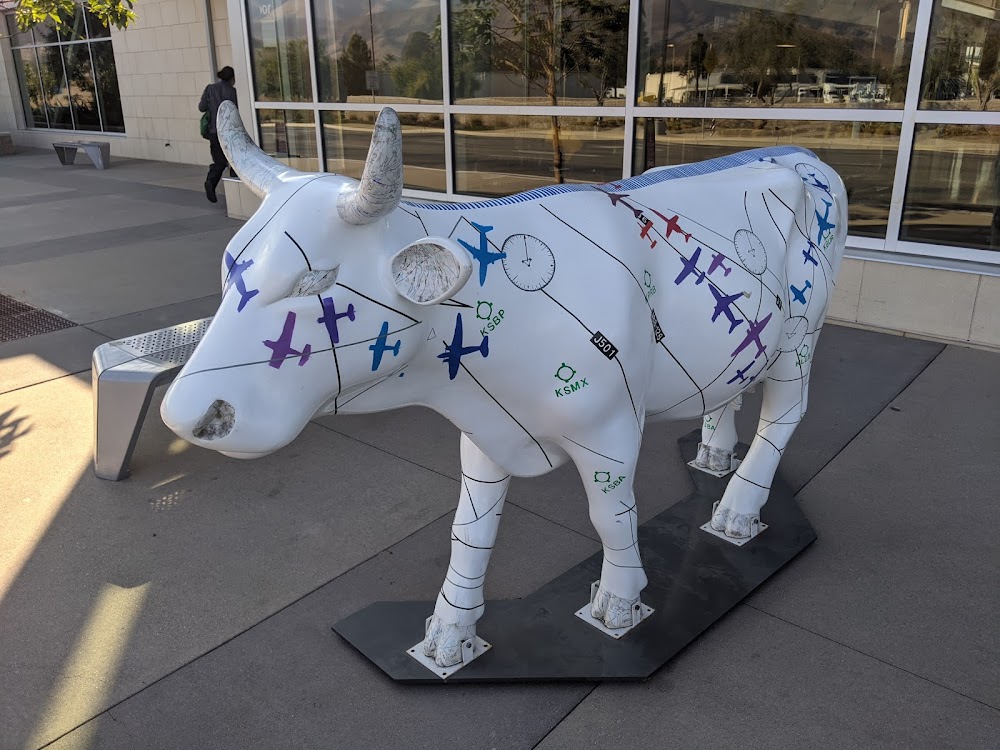
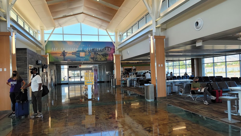
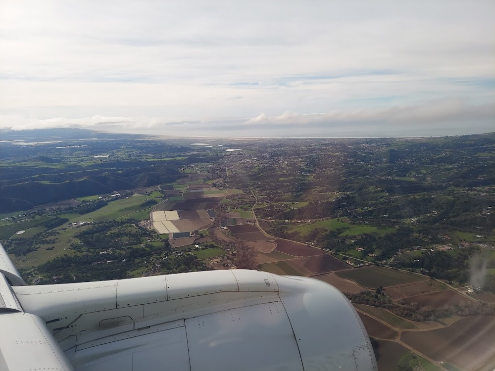
San Luis Obispo, CA
Elevation:
212ft
Sectional:
Los Angeles
Activation date:
Apr 1940
Fuel:
100LL, A (prices)
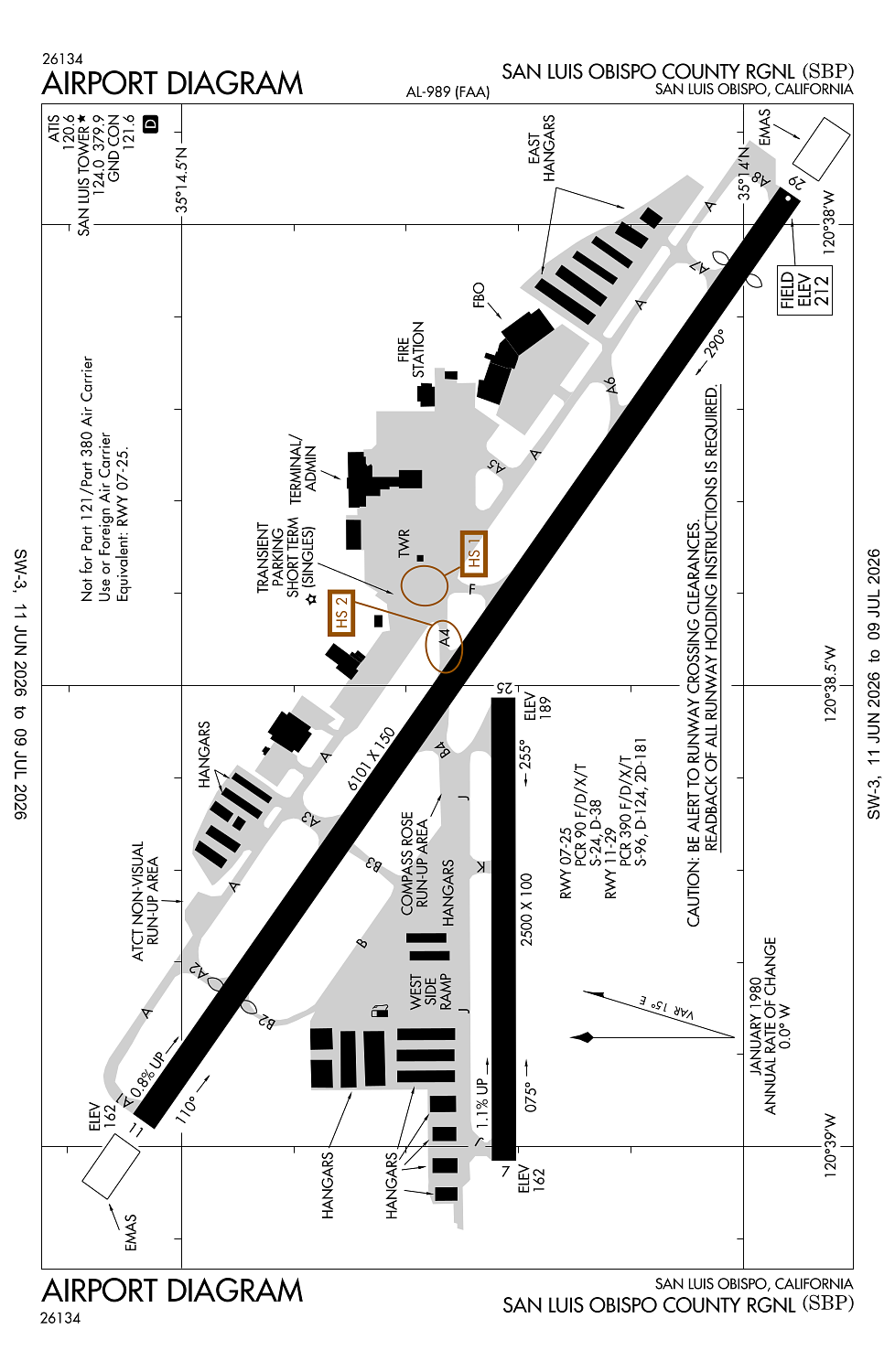
Runway 11/29:
6,101ft
Runway 07/25:
2,500ft
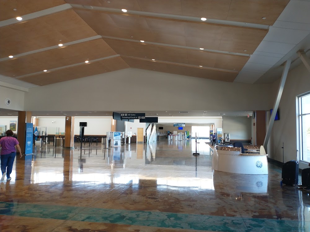
Access: Open to the public
Similar Airports

Current Weather — VFR
-
Weather data is strictly informational and not for flight planning purposes.
-
METAR2026-07-28 21:56:00 PDT
Ceiling: Sky clear Wind: 300° @ 4kt Temperature: 57°F Dewpoint: 53°F Weather: N/A Visbility: 10SM Raw:METAR KSBP 290456Z AUTO 30004KT 10SM CLR 14/12 A2989 RMK AO2 SLP119 T01390122 -
TAF2026-07-28 23:00:00 PDT – 2026-07-29 06:00:00 PDT
Ceiling: Sky clear Wind: Variable Weather: N/A Visbility: 6SM Clouds: @ ft Raw:TAF KSBP 290530Z 2906/3006 VRB03KT P6SM SKC FM291300 VRB03KT 3SM BR OVC003 FM291600 VRB03KT P6SM FEW004 FM291900 29006KT P6SM SKC FM292100 30016KT P6SM SKC FM300300 30008KT P6SM SKC -
TAF2026-07-29 06:00:00 PDT – 2026-07-29 09:00:00 PDT
Ceiling: 300ft Wind: Variable Weather: Mist Visbility: 3SM Clouds: Overcast @ 300ft Raw:TAF KSBP 290530Z 2906/3006 VRB03KT P6SM SKC FM291300 VRB03KT 3SM BR OVC003 FM291600 VRB03KT P6SM FEW004 FM291900 29006KT P6SM SKC FM292100 30016KT P6SM SKC FM300300 30008KT P6SM SKC -
TAF2026-07-29 09:00:00 PDT – 2026-07-29 12:00:00 PDT
Ceiling: Sky clear Wind: Variable Weather: N/A Visbility: 6SM Clouds: Few @ 400ft Raw:TAF KSBP 290530Z 2906/3006 VRB03KT P6SM SKC FM291300 VRB03KT 3SM BR OVC003 FM291600 VRB03KT P6SM FEW004 FM291900 29006KT P6SM SKC FM292100 30016KT P6SM SKC FM300300 30008KT P6SM SKC -
TAF2026-07-29 12:00:00 PDT – 2026-07-29 14:00:00 PDT
Ceiling: Sky clear Wind: 290° @ 6kt Weather: N/A Visbility: 6SM Clouds: @ ft Raw:TAF KSBP 290530Z 2906/3006 VRB03KT P6SM SKC FM291300 VRB03KT 3SM BR OVC003 FM291600 VRB03KT P6SM FEW004 FM291900 29006KT P6SM SKC FM292100 30016KT P6SM SKC FM300300 30008KT P6SM SKC -
TAF2026-07-29 14:00:00 PDT – 2026-07-29 20:00:00 PDT
Ceiling: Sky clear Wind: 300° @ 16kt Weather: N/A Visbility: 6SM Clouds: @ ft Raw:TAF KSBP 290530Z 2906/3006 VRB03KT P6SM SKC FM291300 VRB03KT 3SM BR OVC003 FM291600 VRB03KT P6SM FEW004 FM291900 29006KT P6SM SKC FM292100 30016KT P6SM SKC FM300300 30008KT P6SM SKC -
TAF2026-07-29 20:00:00 PDT – 2026-07-29 23:00:00 PDT
Ceiling: Sky clear Wind: 300° @ 8kt Weather: N/A Visbility: 6SM Clouds: @ ft Raw:TAF KSBP 290530Z 2906/3006 VRB03KT P6SM SKC FM291300 VRB03KT 3SM BR OVC003 FM291600 VRB03KT P6SM FEW004 FM291900 29006KT P6SM SKC FM292100 30016KT P6SM SKC FM300300 30008KT P6SM SKC
Click/tap to add an annotation marker to the map
No webcams added yet.
Remarks
- Prior to 15 may 1959.
- Refil customer bottle.
- Rwy 7/25 not avbl for sked acr opns with more than 9 psgr seats or unsked acr at least 31 psgr seats.
- Recurring flocks of waterfowl on and in vicinity of arpt durg winter months.
- Taxilane widths less than standard.
Pismo Beach is a 14 minute car ride away.