Pirep is a free, collaborative database of all public and private airports. All pilots are welcome to contribute their local knowledge to any airport, no registration required.
Last updated: 2023-10-25 21:13:05 PDT
Last updated: 2023-11-07 00:06:26 PST
Last updated: 2023-11-07 00:06:26 PST
Last updated: 2023-11-14 21:20:12 PST
Airport Statistics
Location:
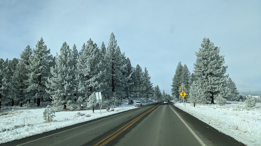
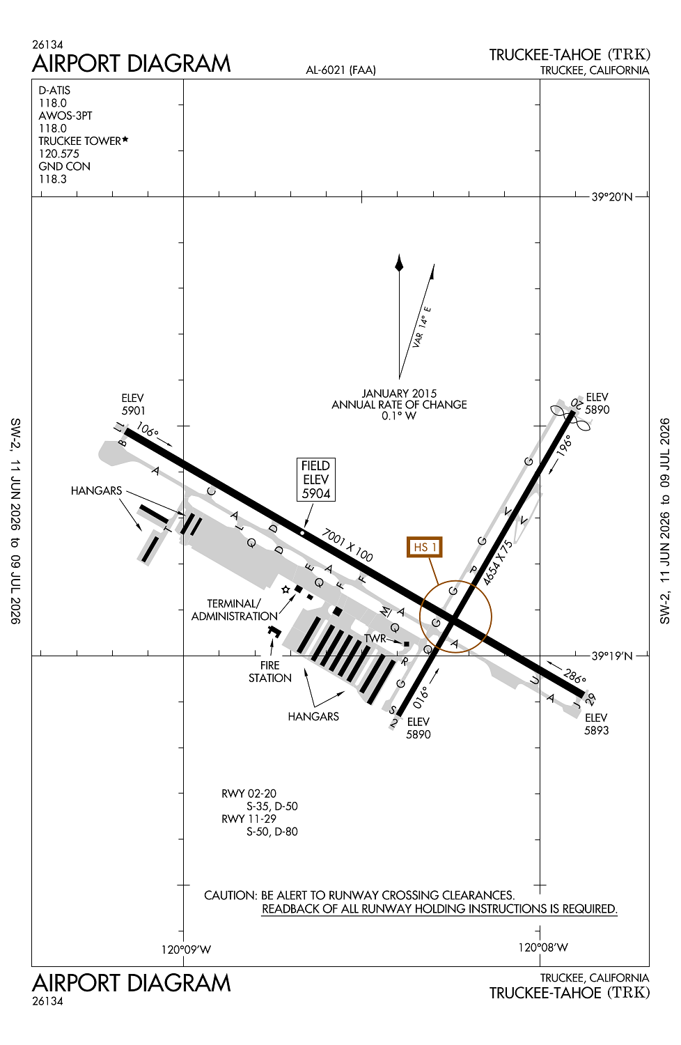
Truckee, CA
Elevation:
5,904ft
Sectional:
San Francisco
Activation date:
Oct 1962
Fuel:
100LL, A, A+ (prices)
Runway 11/29:
7,001ft
Runway 02/20:
4,654ft
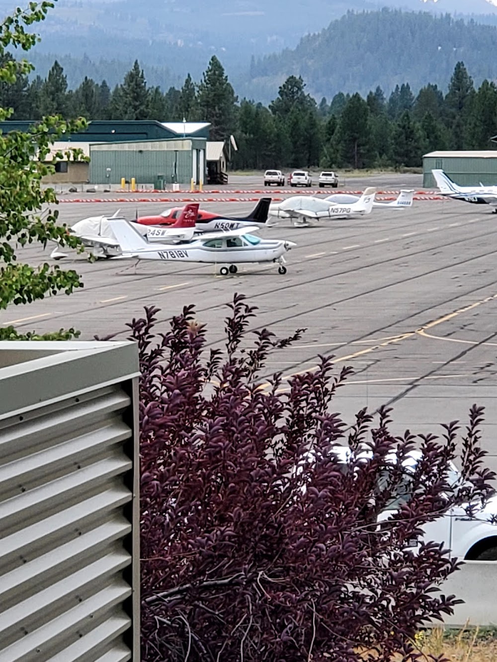
Access: Open to the public
Similar Airports
Current Weather — VFR
-
Weather data is strictly informational and not for flight planning purposes.
-
METAR2026-07-28 22:15:00 PDT
Ceiling: Sky clear Wind: 160° @ 4kt Temperature: 55°F Dewpoint: 33°F Weather: N/A Visbility: 10SM Raw:METAR KTRK 290515Z AUTO 16004KT 10SM CLR 13/01 A3018 RMK AO2 -
TAF2026-07-28 23:00:00 PDT – 2026-07-29 12:00:00 PDT
Ceiling: Sky clear Wind: Variable Weather: N/A Visbility: 6SM Clouds: @ ft Raw:TAF KTRK 290524Z 2906/3006 VRB03KT P6SM SKC FM291900 26007KT P6SM SKC FM292100 25008G19KT P6SM SKC FM300400 VRB03KT P6SM SKC -
TAF2026-07-29 12:00:00 PDT – 2026-07-29 14:00:00 PDT
Ceiling: Sky clear Wind: 260° @ 7kt Weather: N/A Visbility: 6SM Clouds: @ ft Raw:TAF KTRK 290524Z 2906/3006 VRB03KT P6SM SKC FM291900 26007KT P6SM SKC FM292100 25008G19KT P6SM SKC FM300400 VRB03KT P6SM SKC -
TAF2026-07-29 14:00:00 PDT – 2026-07-29 21:00:00 PDT
Ceiling: Sky clear Wind: 250° @ 8kt, gusts 19kt Weather: N/A Visbility: 6SM Clouds: @ ft Raw:TAF KTRK 290524Z 2906/3006 VRB03KT P6SM SKC FM291900 26007KT P6SM SKC FM292100 25008G19KT P6SM SKC FM300400 VRB03KT P6SM SKC -
TAF2026-07-29 21:00:00 PDT – 2026-07-29 23:00:00 PDT
Ceiling: Sky clear Wind: Variable Weather: N/A Visbility: 6SM Clouds: @ ft Raw:TAF KTRK 290524Z 2906/3006 VRB03KT P6SM SKC FM291900 26007KT P6SM SKC FM292100 25008G19KT P6SM SKC FM300400 VRB03KT P6SM SKC
Click/tap to add an annotation marker to the map
Remarks
- When atct clsd.
- Rwy 20 & rwy 11 dist-to-go mkrs instld on left side.
- Summer density alts in aftns frqly exceed 9000 ft.
- Wildlife on and invof arpt.
- Gldr opns ne of arpt may-sep.
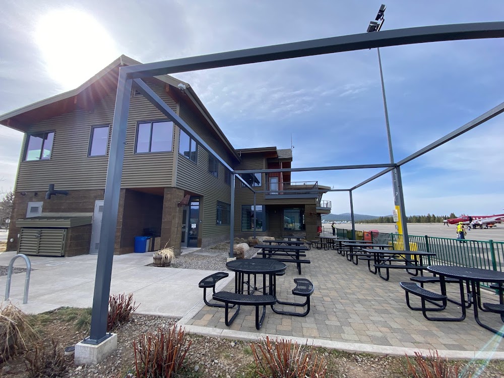
Very GA-friendly airport with attentive staff. Be mindful of the noise abatement procedure off all four rwys 11/29 and 02/20 - you’ll get a letter in the mail if you deviate, as the locals like to report those who don’t follow the plan. It’s easy - just know before you go. Plan posters all over the airport, and ATC can help you if you can’t find it.