Pirep is a free, collaborative database of all public and private airports. All pilots are welcome to contribute their local knowledge to any airport, no registration required.
No upcoming events. Is anything happening here soon?
Last updated: 2023-06-01 19:09:47 PDT
Airport Statistics
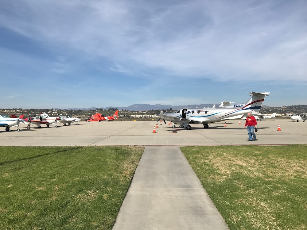
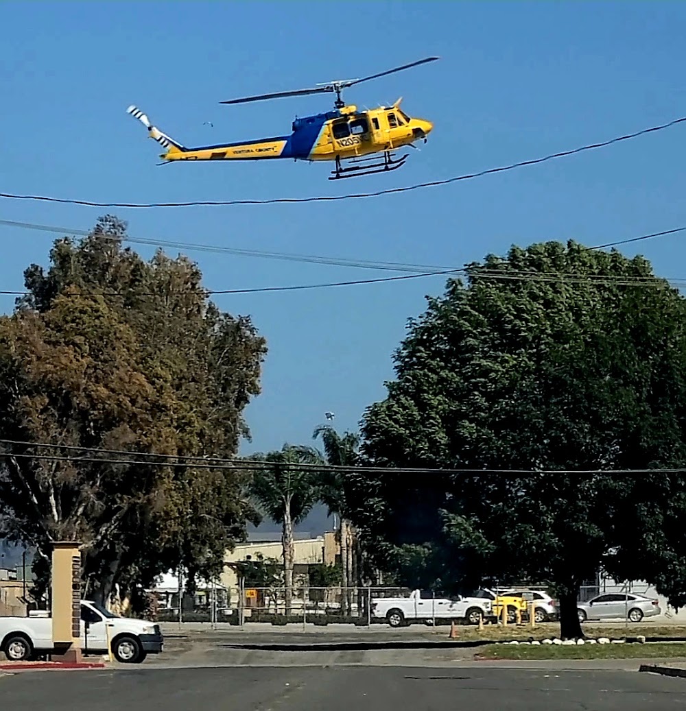
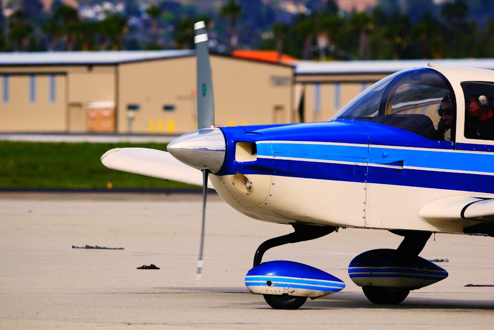
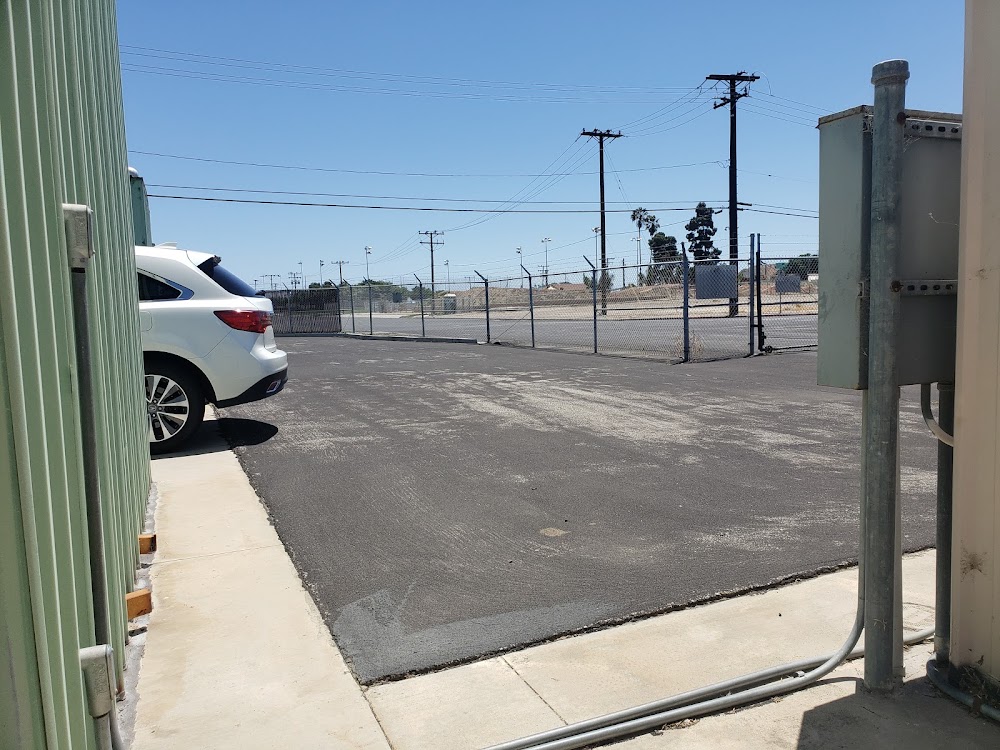
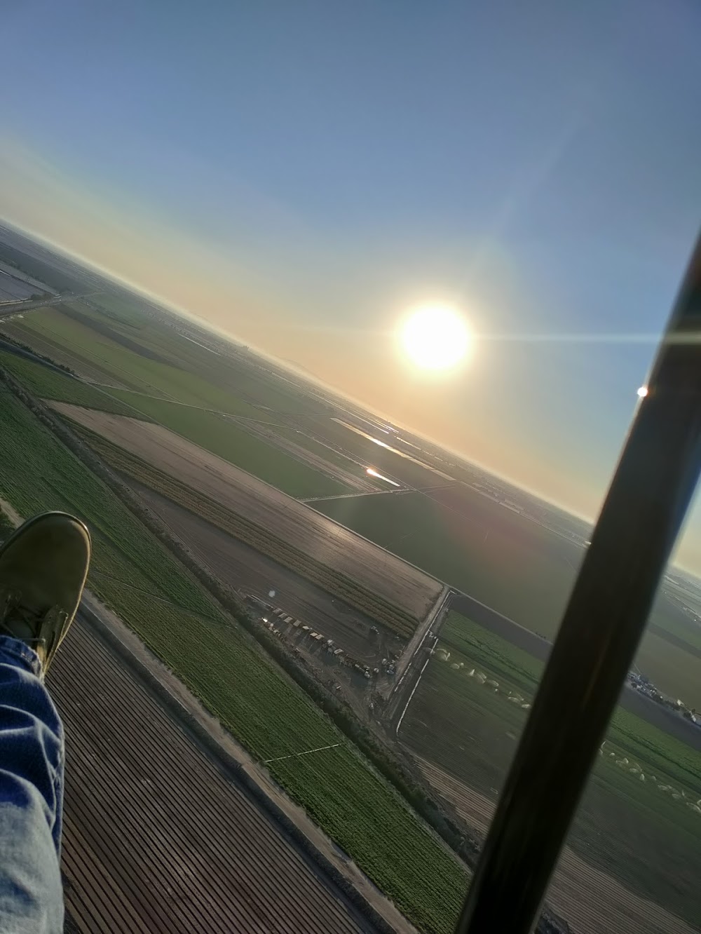
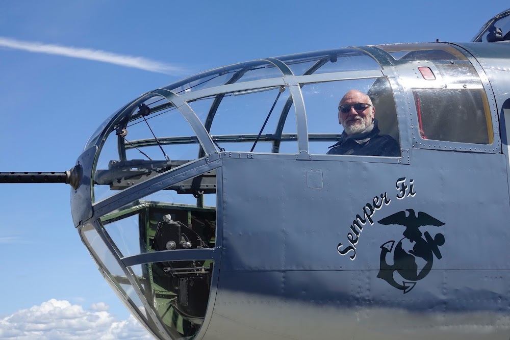
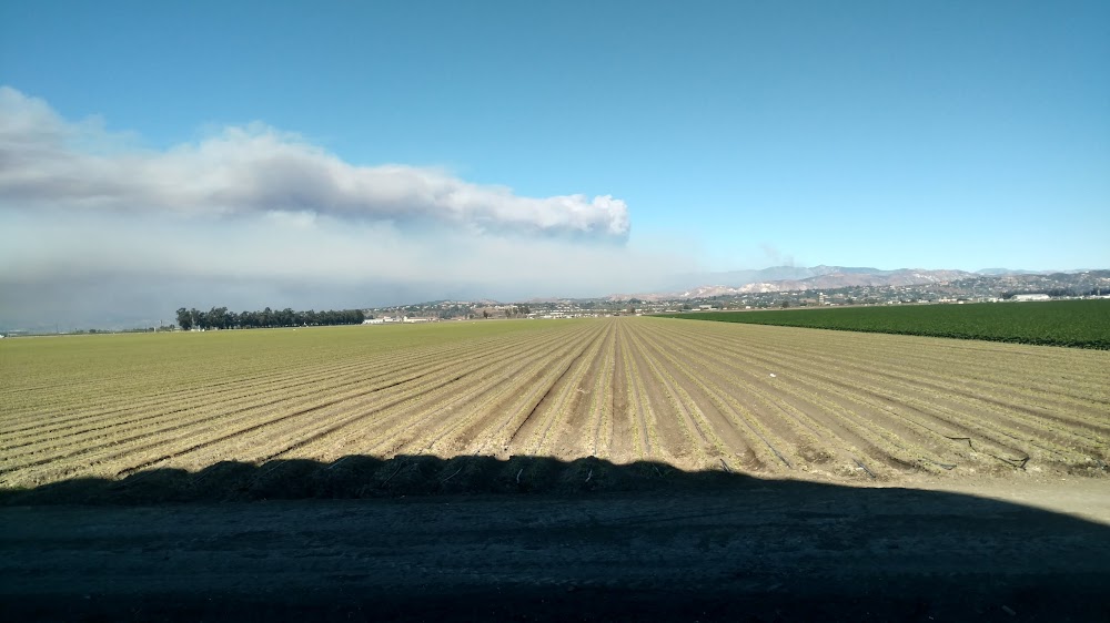
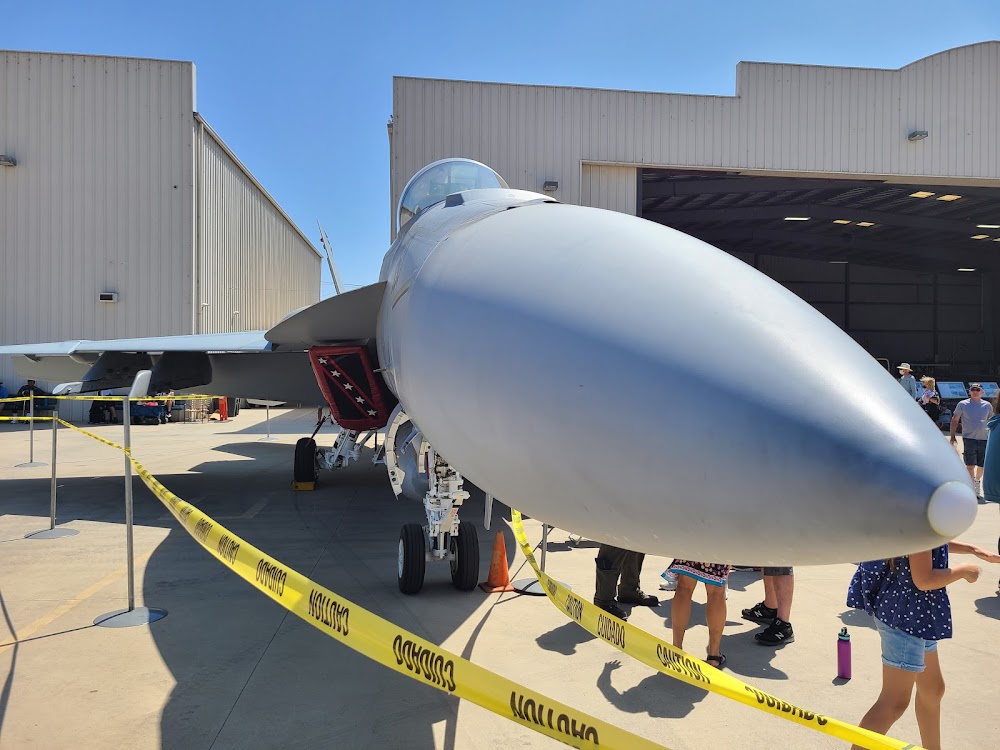
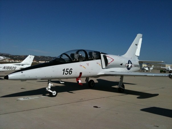
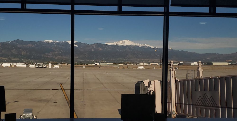
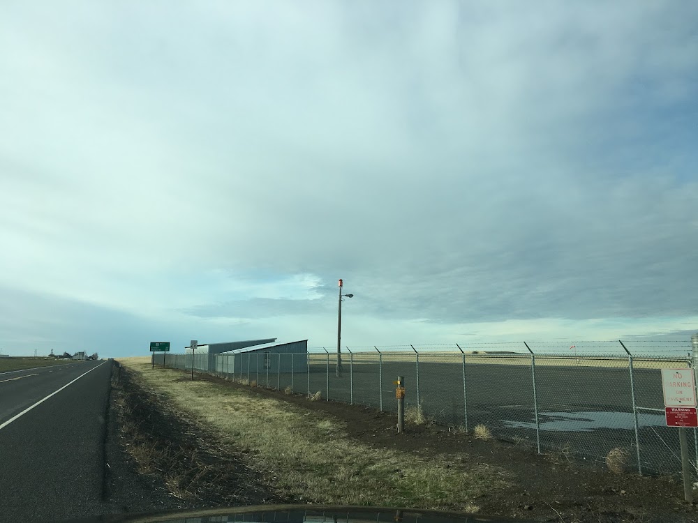
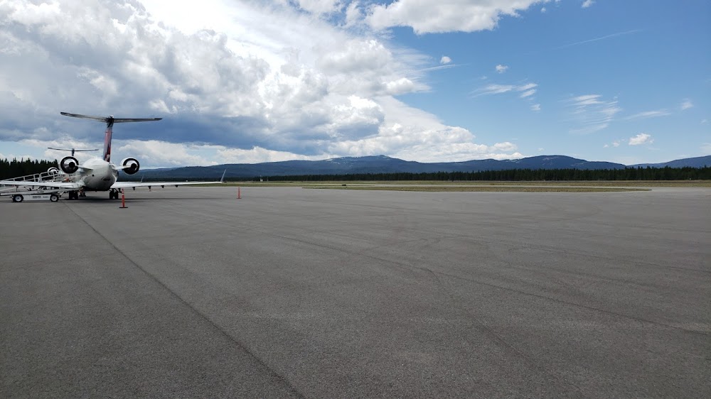
- Airport photos
- Transient parking location
- Crew car availability
Location:
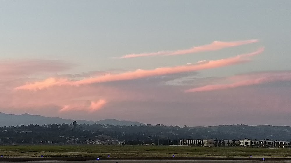
Camarillo, CA
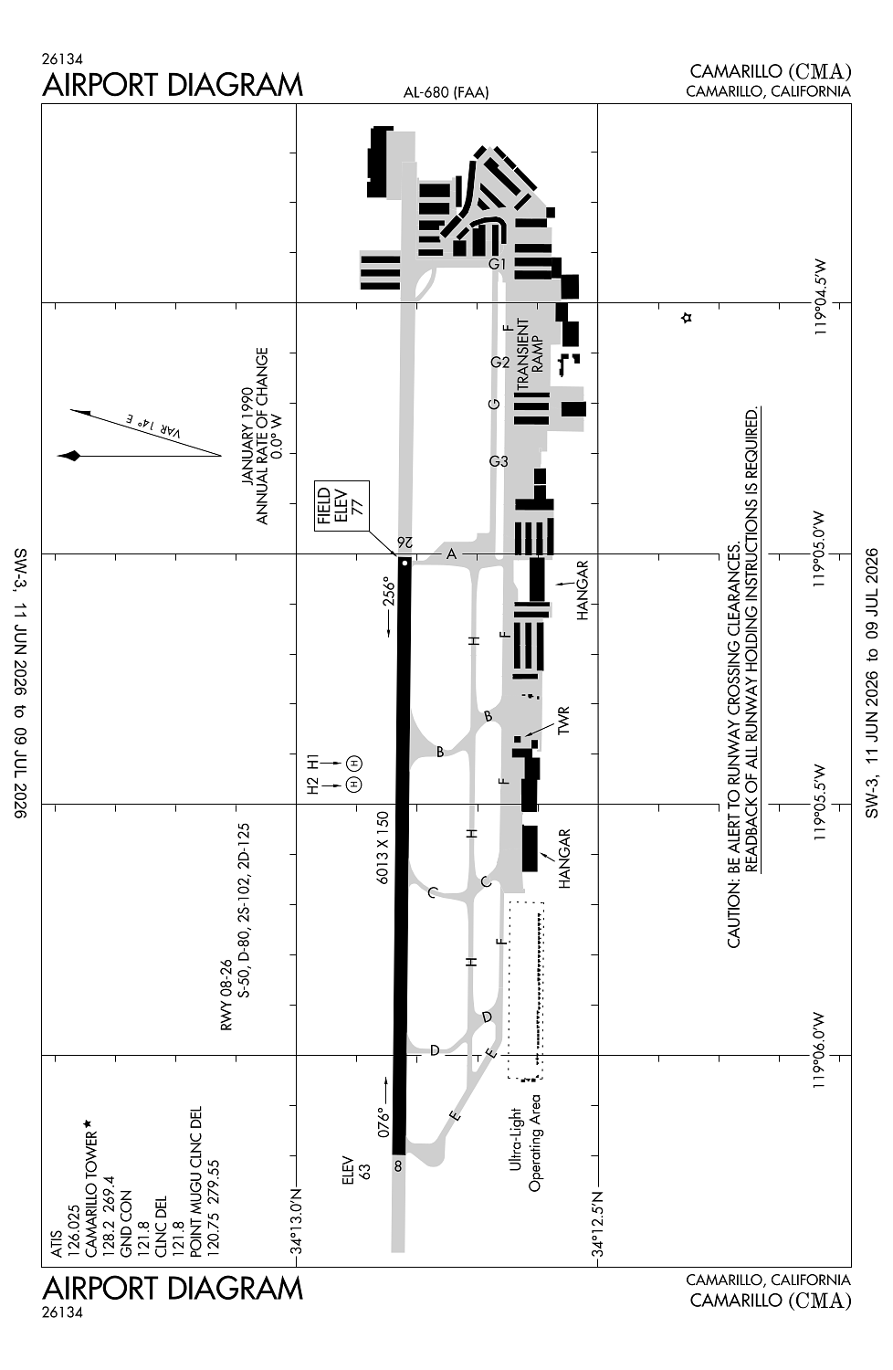
Elevation:
76ft
Sectional:
Los Angeles
Activation date:
Dec 1976
Fuel:
100LL, A (prices)
Runway 08/26:
6,013ft
Runway H1:
34ft
Runway H2:
34ft
Access: Open to the public
Similar Airports
Current Weather — VFR
-
Weather data is strictly informational and not for flight planning purposes.
-
METAR2026-07-28 23:55:00 PDT
Ceiling: Sky clear Wind: 230° @ 3kt Temperature: 66°F Dewpoint: 60°F Weather: N/A Visbility: 9SM Raw:METAR KCMA 290655Z AUTO 23003KT 9SM CLR 19/16 A2984 RMK AO2 SLP111 T01890161 $ -
TAF2026-07-28 23:00:00 PDT – 2026-07-29 10:00:00 PDT
Ceiling: Sky clear Wind: Variable Weather: N/A Visbility: 6SM Clouds: @ ft Raw:TAF KCMA 290530Z 2906/3006 VRB03KT P6SM SKC FM291700 24005KT P6SM SKC FM292000 24010KT P6SM SKC FM300300 25004KT P6SM SKC -
TAF2026-07-29 10:00:00 PDT – 2026-07-29 13:00:00 PDT
Ceiling: Sky clear Wind: 240° @ 5kt Weather: N/A Visbility: 6SM Clouds: @ ft Raw:TAF KCMA 290530Z 2906/3006 VRB03KT P6SM SKC FM291700 24005KT P6SM SKC FM292000 24010KT P6SM SKC FM300300 25004KT P6SM SKC -
TAF2026-07-29 13:00:00 PDT – 2026-07-29 20:00:00 PDT
Ceiling: Sky clear Wind: 240° @ 10kt Weather: N/A Visbility: 6SM Clouds: @ ft Raw:TAF KCMA 290530Z 2906/3006 VRB03KT P6SM SKC FM291700 24005KT P6SM SKC FM292000 24010KT P6SM SKC FM300300 25004KT P6SM SKC -
TAF2026-07-29 20:00:00 PDT – 2026-07-29 23:00:00 PDT
Ceiling: Sky clear Wind: 250° @ 4kt Weather: N/A Visbility: 6SM Clouds: @ ft Raw:TAF KCMA 290530Z 2906/3006 VRB03KT P6SM SKC FM291700 24005KT P6SM SKC FM292000 24010KT P6SM SKC FM300300 25004KT P6SM SKC
Click/tap to add an annotation marker to the map
No webcams added yet.
Remarks
- Unlgtd mtn 1173 ft msl; beginning 5 miles fm east end ry 26. unlgtd mtn 1814 ft msl 5 miles to ese of apch end ry 26.
- Wildlife on and invof arpt.
- No ldgs/taxiing/tkofs on cheveroned area east of ry 26 thr.
- Noise: extreme noise sensitive area.
- Be alert to high performance mil acft opns invof arpt.
Comments