Pirep is a free, collaborative database of all public and private airports. All pilots are welcome to contribute their local knowledge to any airport, no registration required.


No upcoming events. Is anything happening here soon?
Last updated: 2024-02-07 20:23:58 MST
Last updated: 2024-02-07 20:23:58 MST
Airport Statistics
- Landing & tie-down fees
- Transient parking location
- Local flying clubs
Location:
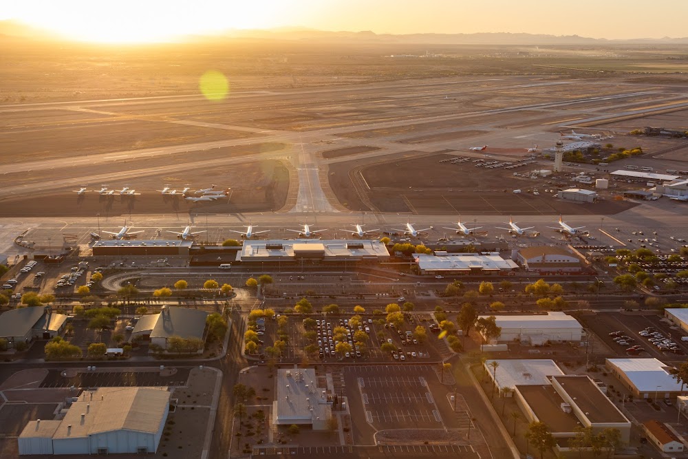
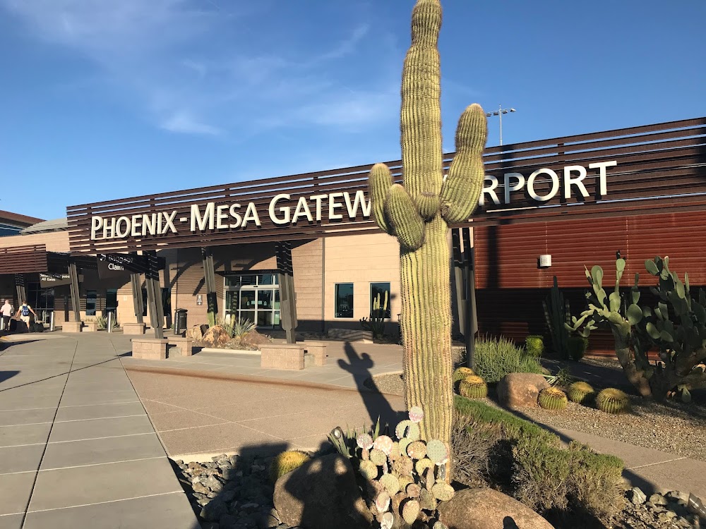
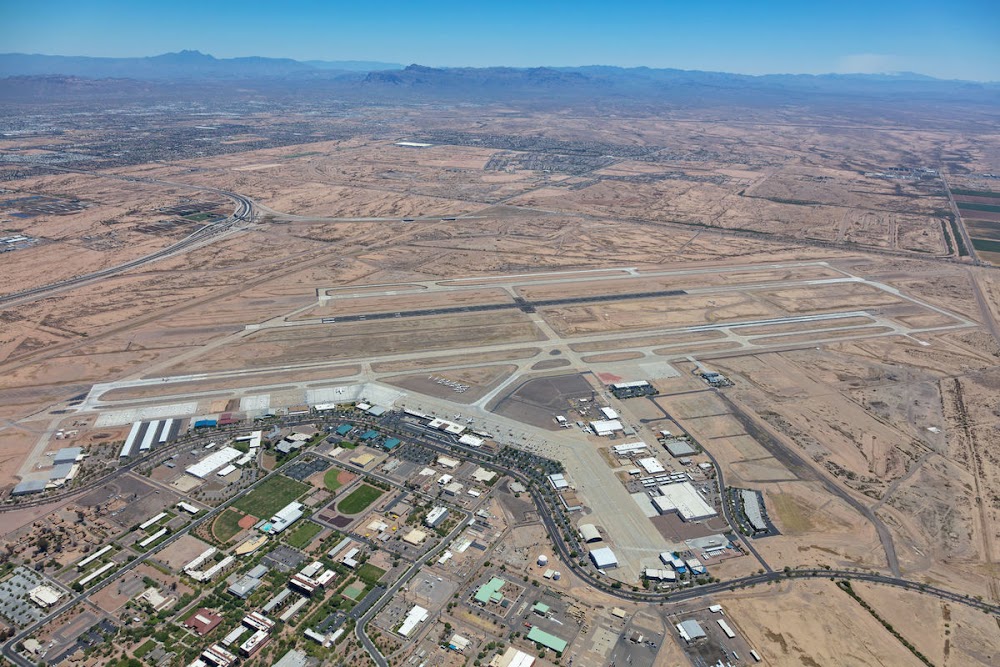
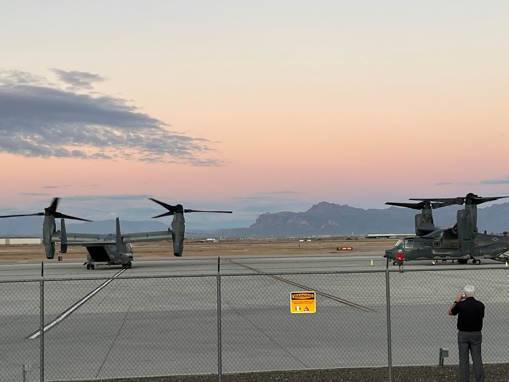
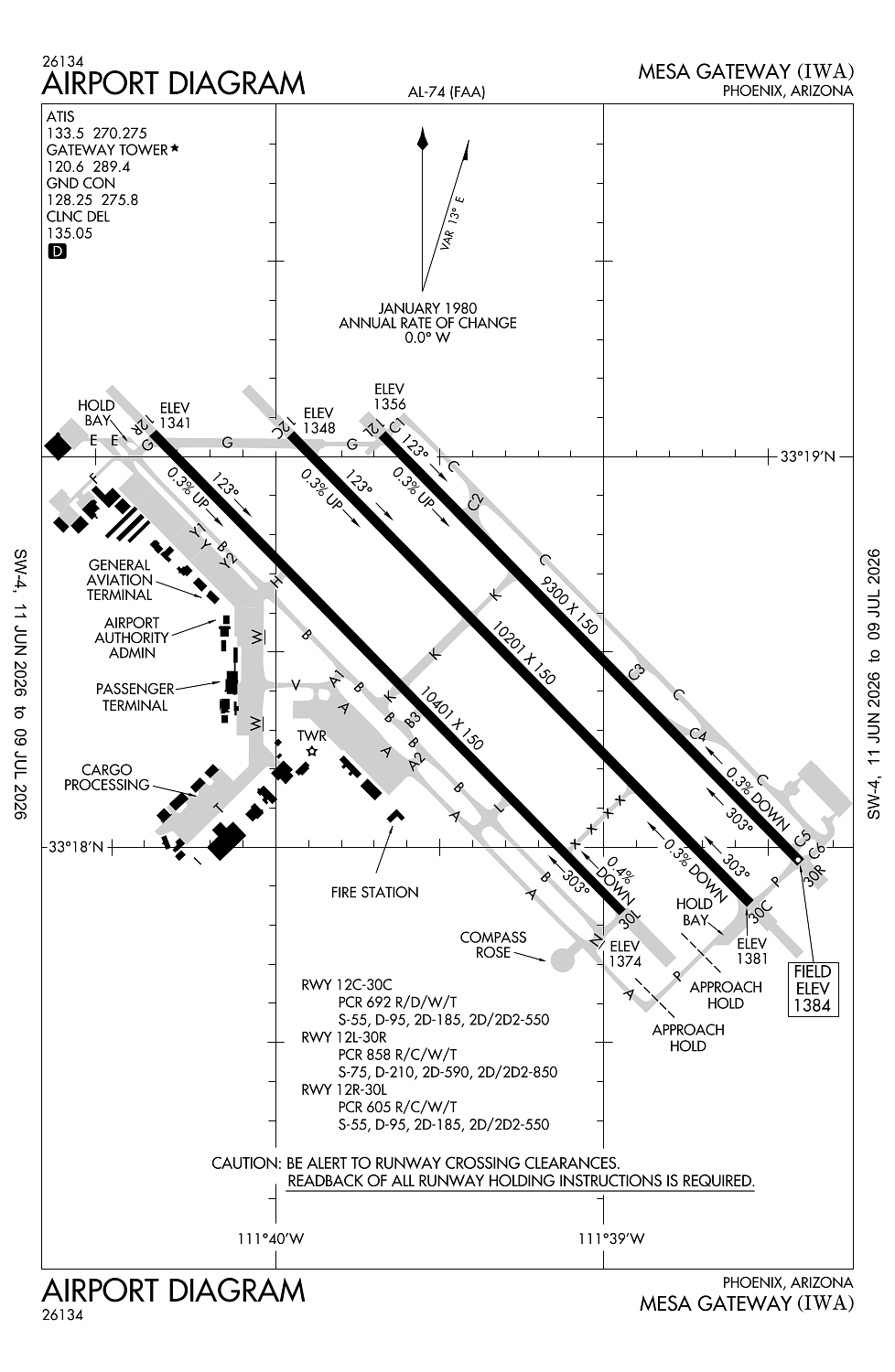
Phoenix, AZ
Elevation:
1,384ft
Sectional:
Phoenix
Activation date:
Dec 1993
Fuel:
100LL, A (prices)
Runway 12R/30L:
10,401ft
Runway 12C/30C:
10,201ft
Runway 12L/30R:
9,300ft
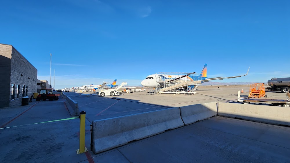
Access: Open to the public
Similar Airports
Current Weather — VFR
-
Weather data is strictly informational and not for flight planning purposes.
-
METAR2026-07-28 20:52:00 MST
Ceiling: Sky clear Wind: 260° @ 8kt Temperature: 100°F Dewpoint: 60°F Weather: N/A Visbility: 10SM Raw:METAR KIWA 290352Z 26008KT 10SM CLR 38/16 A2978 -
TAF2026-07-28 17:00:00 MST – 2026-07-29 01:00:00 MST
Ceiling: Sky clear Wind: 300° @ 10kt Weather: N/A Visbility: 6SM Clouds: Few @ 10,000ft, Few @ 25,000ft Raw:TAF KIWA 282320Z 2900/2924 30010KT P6SM FEW100 FEW250 FM290800 13005KT P6SM FEW120 SCT250 FM291700 29008KT P6SM FEW100 FEW250 -
TAF2026-07-29 01:00:00 MST – 2026-07-29 10:00:00 MST
Ceiling: Sky clear Wind: 130° @ 5kt Weather: N/A Visbility: 6SM Clouds: Few @ 12,000ft, Scattered @ 25,000ft Raw:TAF KIWA 282320Z 2900/2924 30010KT P6SM FEW100 FEW250 FM290800 13005KT P6SM FEW120 SCT250 FM291700 29008KT P6SM FEW100 FEW250 -
TAF2026-07-29 10:00:00 MST – 2026-07-29 17:00:00 MST
Ceiling: Sky clear Wind: 290° @ 8kt Weather: N/A Visbility: 6SM Clouds: Few @ 10,000ft, Few @ 25,000ft Raw:TAF KIWA 282320Z 2900/2924 30010KT P6SM FEW100 FEW250 FM290800 13005KT P6SM FEW120 SCT250 FM291700 29008KT P6SM FEW100 FEW250
Click/tap to add an annotation marker to the map
No webcams added yet.
Remarks
- Wildlife invof arpt.
- Noise abatement proc in efct; avoid low ovr flt of noise sensitive areas srndg arpt.
- Be alert for crop dusting activity invof arpt.
- Be alert for crop dusting activity at or below 2000 feet msl between 2 and 3 miles on apch for rwy 30r, rwy 30l and rwy 30c.
- Twy w between twy h and twy v rstd to acft with wing span less than 135 ft twy w between twy t and twy v rstrd to acft with wing span less than 118 ft.
Comments