Pirep is a free, collaborative database of all public and private airports. All pilots are welcome to contribute their local knowledge to any airport, no registration required.


No upcoming events. Is anything happening here soon?
Last updated: 2024-03-06 22:34:58 CST
Airport Statistics
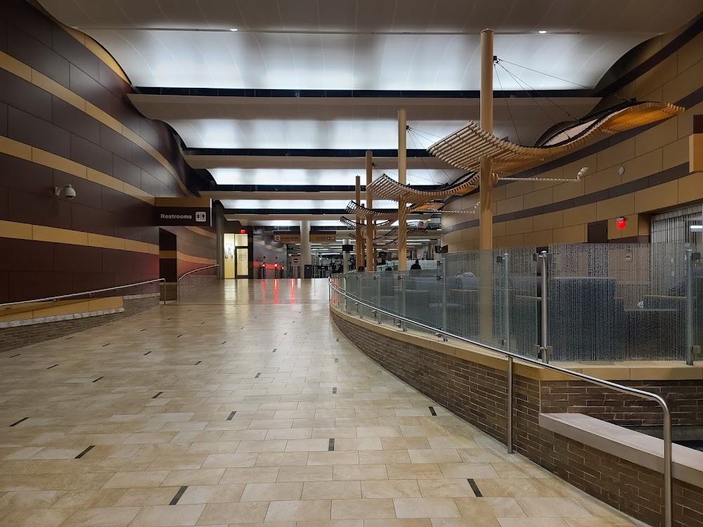
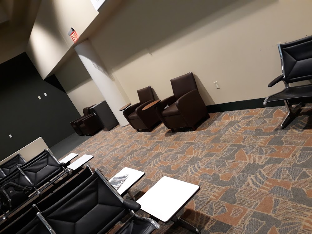
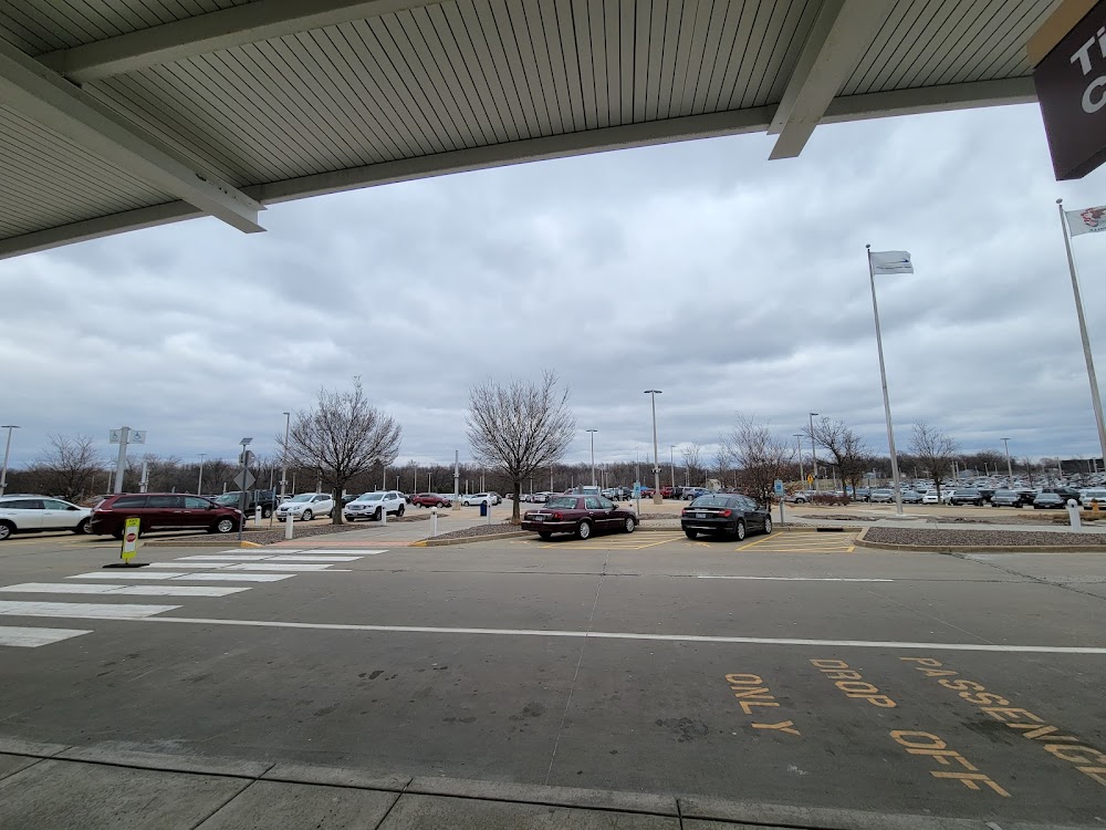
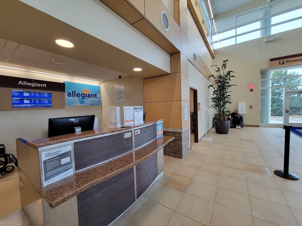
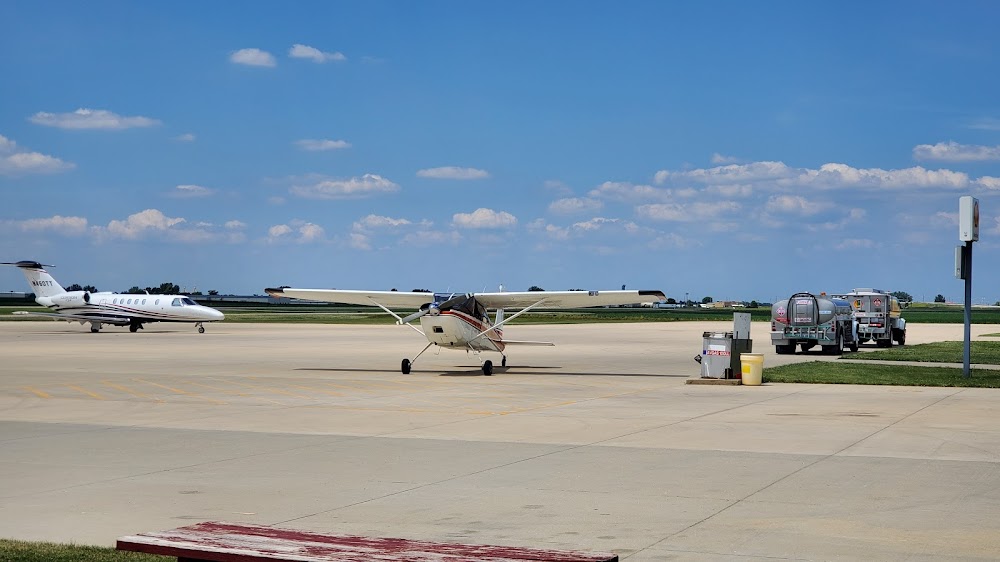
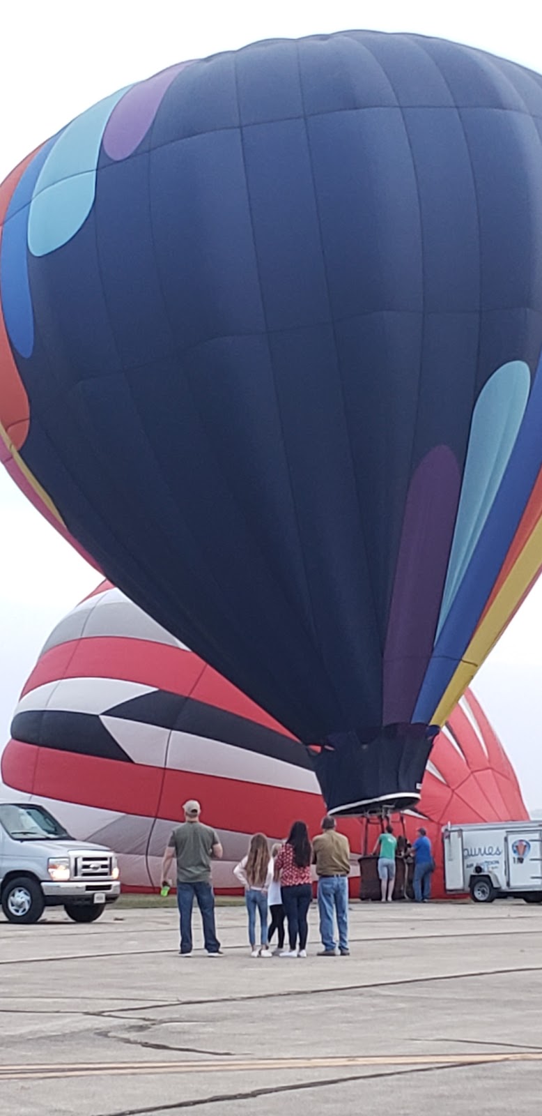
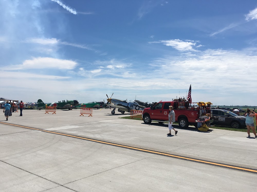
- Airport photos
- Webcam links
- WiFi availability
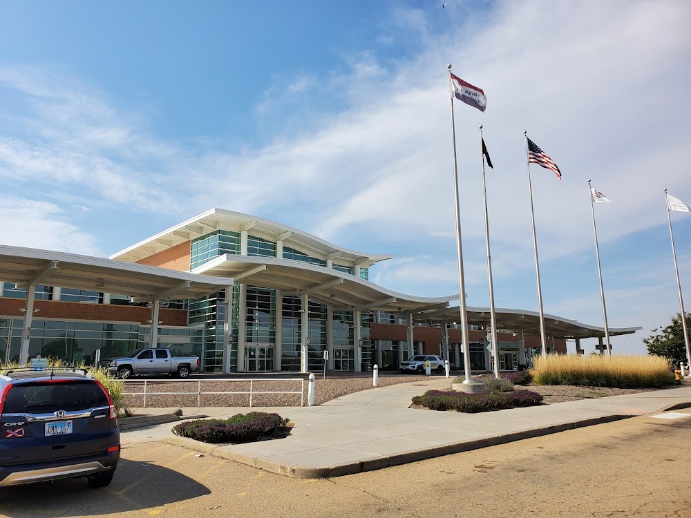
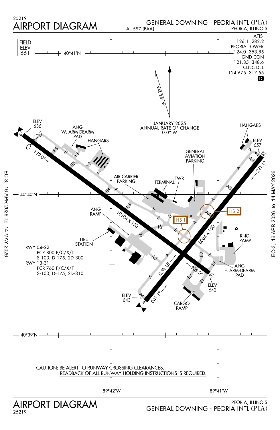
Location:
Peoria, IL
Elevation:
660ft
Sectional:
Chicago
Activation date:
Apr 1940
Fuel:
100LL, A, A++ (prices)
Runway 13/31:
10,104ft
Runway 04/22:
8,004ft
Access: Open to the public
Similar Airports
Current Weather — VFR
-
Weather data is strictly informational and not for flight planning purposes.
-
METAR2026-05-17 21:54:00 CDT
Ceiling: Sky clear Wind: 180° @ 12kt Temperature: 78°F Dewpoint: 62°F Weather: N/A Visbility: 10SM Raw:METAR KPIA 180254Z 18012KT 10SM CLR 26/17 A2979 RMK AO2 SLP082 T02560172 51001 -
TAF2026-05-17 22:00:00 CDT – 2026-05-18 06:00:00 CDT
Ceiling: Sky clear Wind: 180° @ 12kt, gusts 20kt Weather: N/A Visbility: 6SM Clouds: Scattered @ 4,000ft, Scattered @ 25,000ft Raw:TAF KPIA 180307Z 1803/1824 18012G20KT P6SM SCT040 SCT250 WS020/20050KT FM181100 19014G24KT P6SM -SHRA VCTS SCT025CB BKN070 TEMPO 1812/1815 4SM TSRA BR BKN025CB FM181500 20015G25KT P6SM VCSH SCT020 BKN050 FM181800 20015G25KT P6SM SCT025 BKN080 -
TAF2026-05-18 06:00:00 CDT – 2026-05-18 10:00:00 CDT
Ceiling: 7,000ft Wind: 190° @ 14kt, gusts 24kt Weather: Light rain showers, thunderstorm in vicinity Visbility: 6SM Clouds: Scattered @ 2,500ft, Broken @ 7,000ft Raw:TAF KPIA 180307Z 1803/1824 18012G20KT P6SM SCT040 SCT250 WS020/20050KT FM181100 19014G24KT P6SM -SHRA VCTS SCT025CB BKN070 TEMPO 1812/1815 4SM TSRA BR BKN025CB FM181500 20015G25KT P6SM VCSH SCT020 BKN050 FM181800 20015G25KT P6SM SCT025 BKN080 -
TAF2026-05-18 07:00:00 CDT – 2026-05-18 10:00:00 CDT
Ceiling: 2,500ft Wind: 000° @ kt Weather: Thunderstorm rain, mist Visbility: 4SM Clouds: Broken @ 2,500ft Raw:TAF KPIA 180307Z 1803/1824 18012G20KT P6SM SCT040 SCT250 WS020/20050KT FM181100 19014G24KT P6SM -SHRA VCTS SCT025CB BKN070 TEMPO 1812/1815 4SM TSRA BR BKN025CB FM181500 20015G25KT P6SM VCSH SCT020 BKN050 FM181800 20015G25KT P6SM SCT025 BKN080 -
TAF2026-05-18 10:00:00 CDT – 2026-05-18 13:00:00 CDT
Ceiling: 5,000ft Wind: 200° @ 15kt, gusts 25kt Weather: Showers in vicinity Visbility: 6SM Clouds: Scattered @ 2,000ft, Broken @ 5,000ft Raw:TAF KPIA 180307Z 1803/1824 18012G20KT P6SM SCT040 SCT250 WS020/20050KT FM181100 19014G24KT P6SM -SHRA VCTS SCT025CB BKN070 TEMPO 1812/1815 4SM TSRA BR BKN025CB FM181500 20015G25KT P6SM VCSH SCT020 BKN050 FM181800 20015G25KT P6SM SCT025 BKN080 -
TAF2026-05-18 13:00:00 CDT – 2026-05-18 19:00:00 CDT
Ceiling: 8,000ft Wind: 200° @ 15kt, gusts 25kt Weather: N/A Visbility: 6SM Clouds: Scattered @ 2,500ft, Broken @ 8,000ft Raw:TAF KPIA 180307Z 1803/1824 18012G20KT P6SM SCT040 SCT250 WS020/20050KT FM181100 19014G24KT P6SM -SHRA VCTS SCT025CB BKN070 TEMPO 1812/1815 4SM TSRA BR BKN025CB FM181500 20015G25KT P6SM VCSH SCT020 BKN050 FM181800 20015G25KT P6SM SCT025 BKN080
Click/tap to add an annotation marker to the map
No webcams added yet.
Remarks
- Lgtd pline rwy 04 apch.
- Birds on and invof arpt.
- Portion of twy a-5 not visible from twr due to a bldg.
- Ang: military aircraft call 'torch ops' 20 min prior to ldg.
- Airport operations 309-697-8272 x 110
Comments