Pirep is a free, collaborative database of all public and private airports. All pilots are welcome to contribute their local knowledge to any airport, no registration required.


No upcoming events. Is anything happening here soon?
Last updated: 2023-10-10 02:08:38 CDT
Airport Statistics
- General description
- Fuel pump location
- Airport map annotations
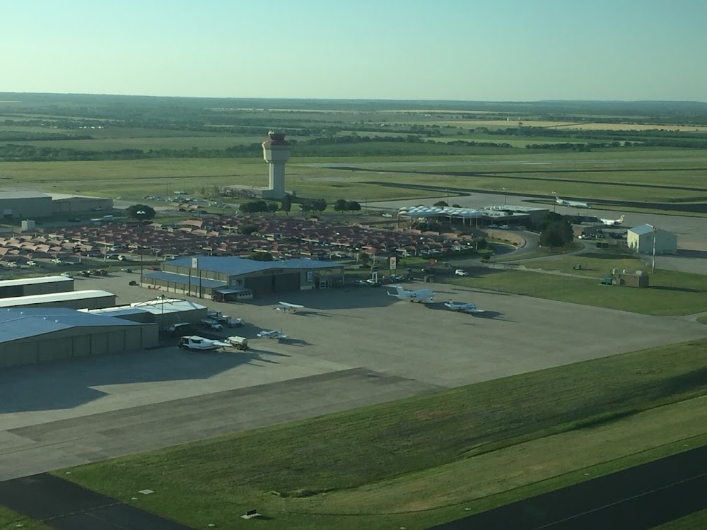
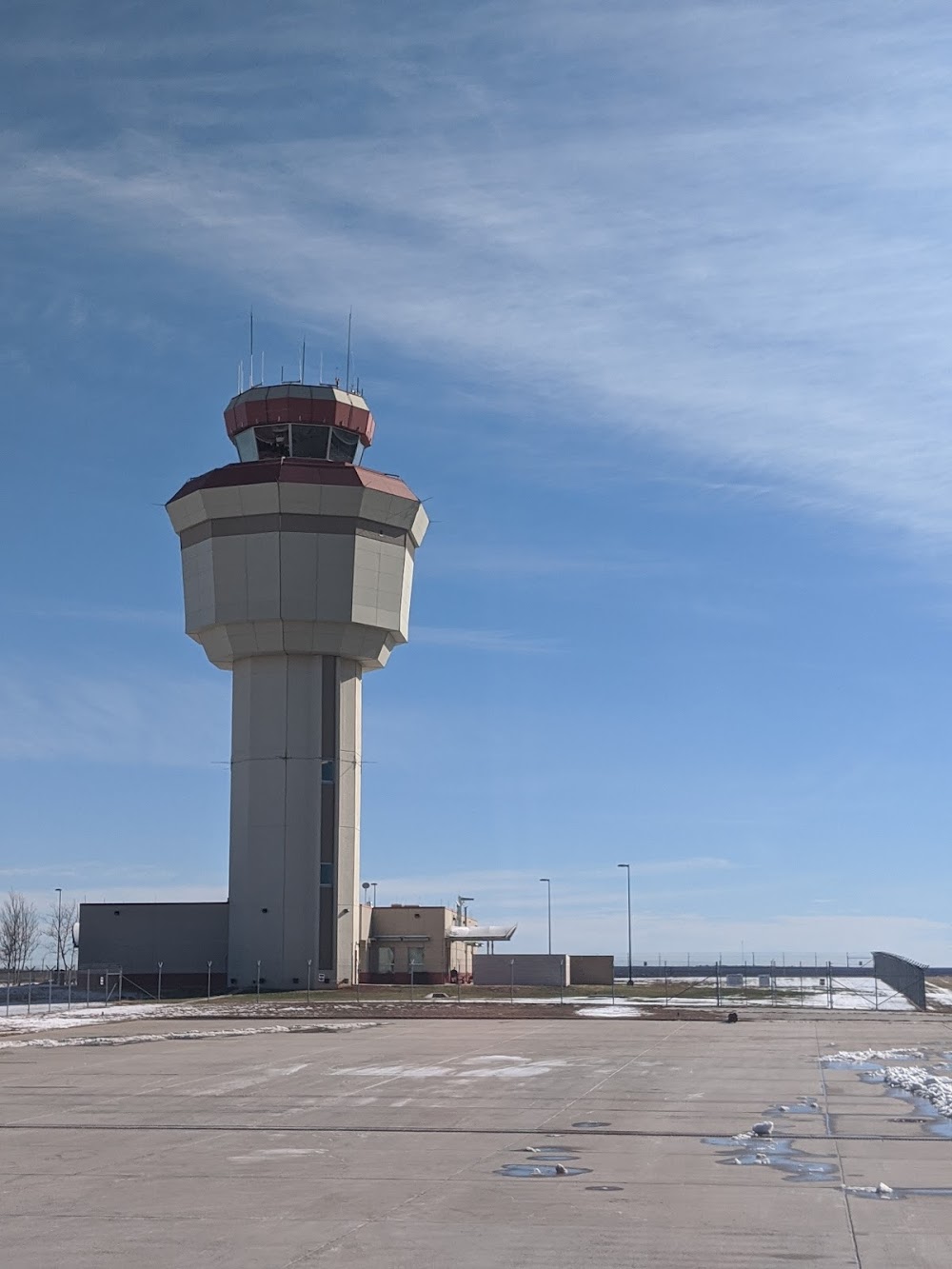
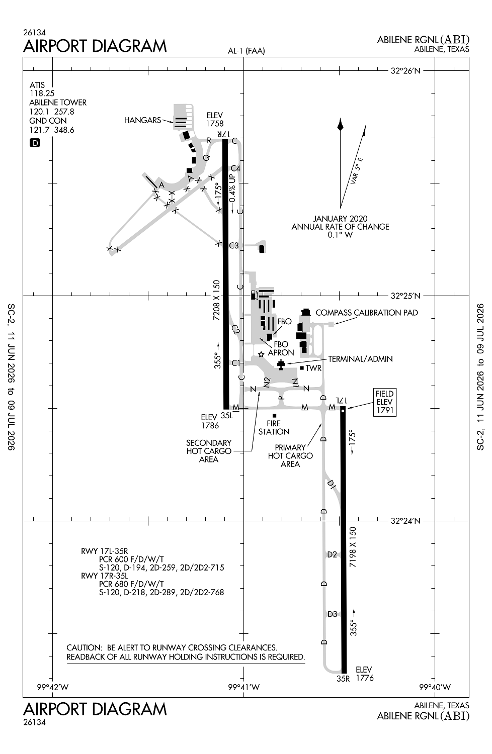
Location:
Abilene, TX
Elevation:
1,790ft
Sectional:
Dallas Ft Worth
Activation date:
Nov 1953
Fuel:
100LL, A (prices)
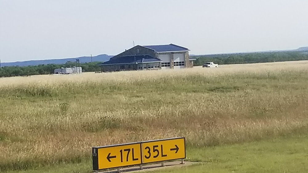
Runway 17R/35L:
7,208ft
Runway 17L/35R:
7,198ft
Access: Open to the public
Similar Airports

Current Weather — VFR
-
Weather data is strictly informational and not for flight planning purposes.
-
METAR2026-07-29 00:52:00 CDT
Ceiling: Sky clear Wind: 160° @ 7kt Temperature: 82°F Dewpoint: 64°F Weather: N/A Visbility: 10SM Raw:METAR KABI 290552Z 16007KT 10SM CLR 28/18 A2991 RMK AO2 SLP097 T02780183 10367 20272 403890228 52016 -
TAF2026-07-29 01:00:00 CDT – 2026-07-29 09:00:00 CDT
Ceiling: Sky clear Wind: Variable Weather: N/A Visbility: 6SM Clouds: @ ft Raw:TAF KABI 290520Z 2906/3006 VRB06KT P6SM SKC FM291400 20008KT P6SM SKC FM292000 16010G18KT P6SM SKC FM300200 VRB06KT P6SM SKC -
TAF2026-07-29 09:00:00 CDT – 2026-07-29 15:00:00 CDT
Ceiling: Sky clear Wind: 200° @ 8kt Weather: N/A Visbility: 6SM Clouds: @ ft Raw:TAF KABI 290520Z 2906/3006 VRB06KT P6SM SKC FM291400 20008KT P6SM SKC FM292000 16010G18KT P6SM SKC FM300200 VRB06KT P6SM SKC -
TAF2026-07-29 15:00:00 CDT – 2026-07-29 21:00:00 CDT
Ceiling: Sky clear Wind: 160° @ 10kt, gusts 18kt Weather: N/A Visbility: 6SM Clouds: @ ft Raw:TAF KABI 290520Z 2906/3006 VRB06KT P6SM SKC FM291400 20008KT P6SM SKC FM292000 16010G18KT P6SM SKC FM300200 VRB06KT P6SM SKC -
TAF2026-07-29 21:00:00 CDT – 2026-07-30 01:00:00 CDT
Ceiling: Sky clear Wind: Variable Weather: N/A Visbility: 6SM Clouds: @ ft Raw:TAF KABI 290520Z 2906/3006 VRB06KT P6SM SKC FM291400 20008KT P6SM SKC FM292000 16010G18KT P6SM SKC FM300200 VRB06KT P6SM SKC
Click/tap to add an annotation marker to the map
No webcams added yet.
Remarks
- Unctld arpt 2 nm ne of arpt, pat alt 2300 ft.
- Mil avn svcs avbl at arpt.
- Abi is arff index b; arff index c avbl with ppr.
- Rwy 04/22 permly clsd, not avbl for acft opns.
- High bird actvty on and invof arpt.
Comments