Pirep is a free, collaborative database of all public and private airports. All pilots are welcome to contribute their local knowledge to any airport, no registration required.


No upcoming events. Is anything happening here soon?
Airport Statistics
- General description
- Webcam links
- Landing & tie-down fees
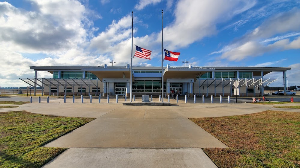
Location:
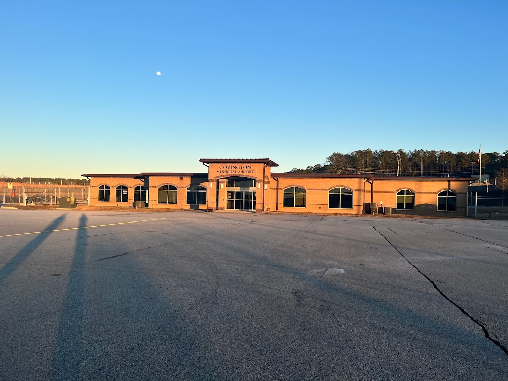
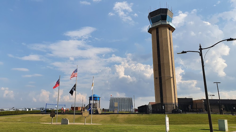
Albany, GA
Elevation:
196ft
Sectional:
Jacksonville
Activation date:
Apr 1940
Fuel:
100LL, A (prices)
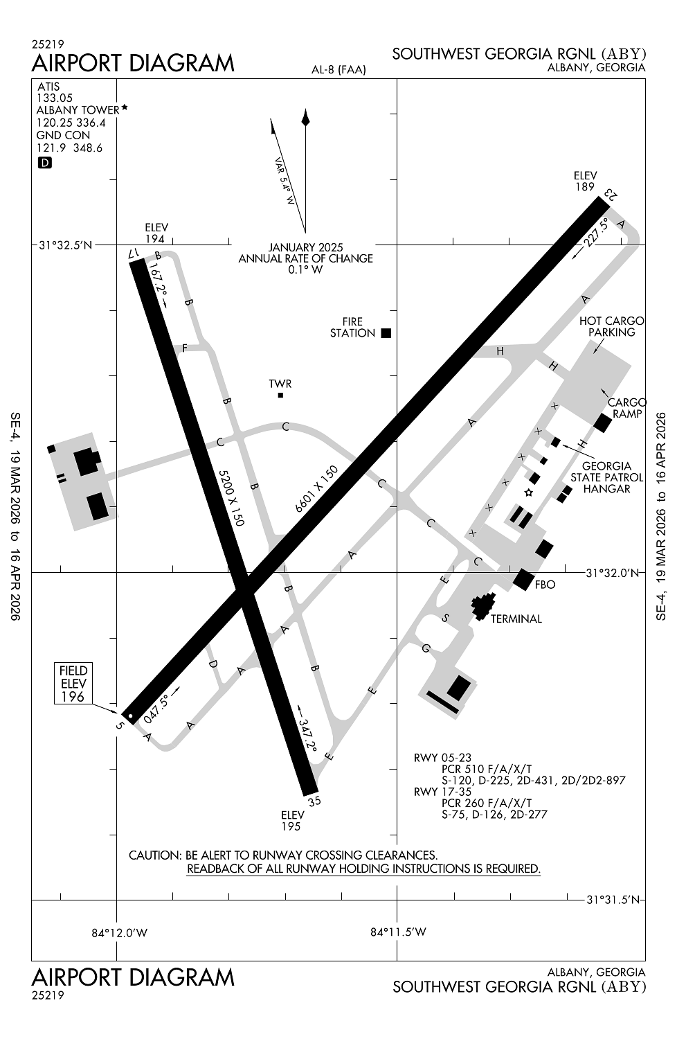
Runway 05/23:
6,601ft
Runway 17/35:
5,200ft
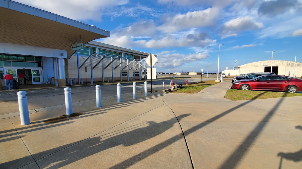
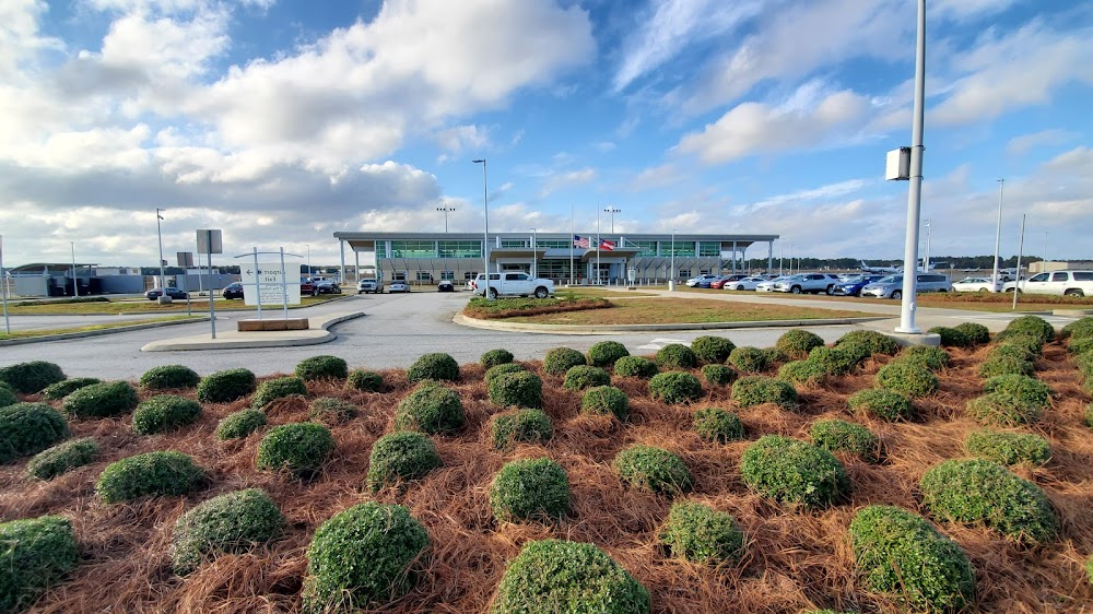
Access: Open to the public
Similar Airports
Current Weather — VFR
-
Weather data is strictly informational and not for flight planning purposes.
-
METAR2026-04-01 13:53:00 EDT
Ceiling: Sky clear Wind: Variable Temperature: 84°F Dewpoint: 60°F Weather: N/A Visbility: 10SM Clouds: Few @ 5,000ft Raw:METAR KABY 011753Z VRB05KT 10SM FEW050 29/16 A3022 RMK AO2 SLP232 T02940161 10294 20161 58019 -
TAF2026-04-01 14:00:00 EDT – 2026-04-01 17:00:00 EDT
Ceiling: Sky clear Wind: 160° @ 4kt Weather: N/A Visbility: 6SM Clouds: Scattered @ 5,000ft, Scattered @ 10,000ft Raw:TAF KABY 011720Z 0118/0218 16004KT P6SM SCT050 SCT100 FM012100 16006KT P6SM VCTS BKN050CB FM020100 VRB03KT P6SM BKN100 -
TAF2026-04-01 17:00:00 EDT – 2026-04-01 21:00:00 EDT
Ceiling: 5,000ft Wind: 160° @ 6kt Weather: Thunderstorm in vicinity Visbility: 6SM Clouds: Broken @ 5,000ft Raw:TAF KABY 011720Z 0118/0218 16004KT P6SM SCT050 SCT100 FM012100 16006KT P6SM VCTS BKN050CB FM020100 VRB03KT P6SM BKN100 -
TAF2026-04-01 21:00:00 EDT – 2026-04-02 14:00:00 EDT
Ceiling: 10,000ft Wind: Variable Weather: N/A Visbility: 6SM Clouds: Broken @ 10,000ft Raw:TAF KABY 011720Z 0118/0218 16004KT P6SM SCT050 SCT100 FM012100 16006KT P6SM VCTS BKN050CB FM020100 VRB03KT P6SM BKN100
Click/tap to add an annotation marker to the map
No webcams added yet.
Remarks
- Clsd to unsked acr opns with more than 30 psgr seats exc ppr call amgr 229-302-1500.
- Low flyng acft 3 miles southeast.
- Acft byd 3 nm and blo 2000 ft on apch to rwy 17 brg 325-040 from arpt not vsb fm atct due to trees.
- Nmrs birds on & wi 5 nm of arpt sep-feb.
- Twy h south of cargo ramp ots indefly.
Comments