Pirep is a free, collaborative database of all public and private airports. All pilots are welcome to contribute their local knowledge to any airport, no registration required.


No upcoming events. Is anything happening here soon?
Last updated: 2023-06-12 01:45:10 EDT
Last updated: 2024-01-26 23:19:52 EST
Airport Statistics
- WiFi availability
- Fuel pump location
- Crew car availability
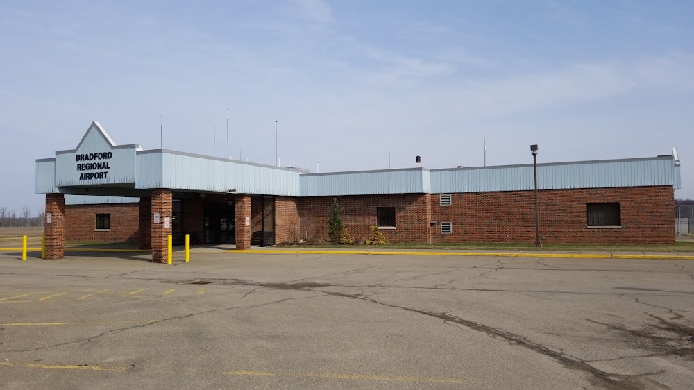
Location:
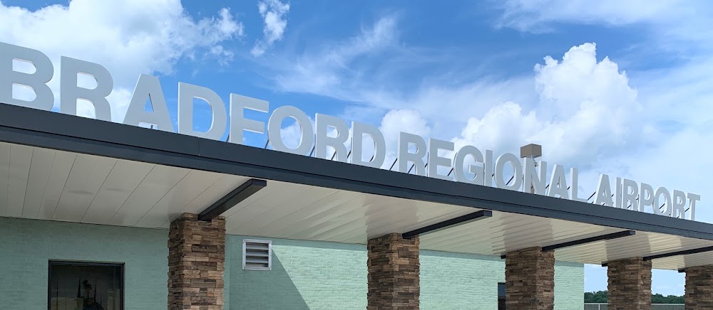
Bradford, PA
Elevation:
2,143ft
Sectional:
Detroit
Activation date:
Nov 1977
Fuel:
100LL, A+ (prices)
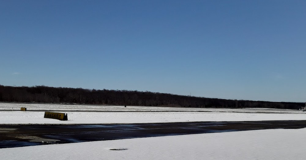
Runway 14/32:
6,307ft
Runway 05/23:
4,499ft
Access: Open to the public
Similar Airports

Current Weather — MVFR
-
Weather data is strictly informational and not for flight planning purposes.
-
METAR2026-07-29 02:07:00 EDT
Ceiling: 1,000ft Wind: 310° @ 7kt Temperature: 62°F Dewpoint: 60°F Weather: N/A Visbility: 10SM Clouds: Broken @ 1,000ft, Overcast @ 3,900ft Raw:SPECI KBFD 290607Z AUTO 31007KT 10SM BKN010 OVC039 17/16 A2975 RMK AO2 T01720156 -
TAF2026-07-29 02:00:00 EDT – 2026-07-29 04:00:00 EDT
Ceiling: 1,200ft Wind: 320° @ 4kt Weather: N/A Visbility: 6SM Clouds: Overcast @ 1,200ft Raw:TAF KBFD 290539Z 2906/3006 32004KT P6SM OVC012 FM290800 32008KT 6SM BR OVC008 FM291400 33010KT P6SM OVC015 FM292000 33012G20KT P6SM OVC035 FM292300 31006KT P6SM BKN060 -
TAF2026-07-29 04:00:00 EDT – 2026-07-29 10:00:00 EDT
Ceiling: 800ft Wind: 320° @ 8kt Weather: Mist Visbility: 6SM Clouds: Overcast @ 800ft Raw:TAF KBFD 290539Z 2906/3006 32004KT P6SM OVC012 FM290800 32008KT 6SM BR OVC008 FM291400 33010KT P6SM OVC015 FM292000 33012G20KT P6SM OVC035 FM292300 31006KT P6SM BKN060 -
TAF2026-07-29 10:00:00 EDT – 2026-07-29 16:00:00 EDT
Ceiling: 1,500ft Wind: 330° @ 10kt Weather: N/A Visbility: 6SM Clouds: Overcast @ 1,500ft Raw:TAF KBFD 290539Z 2906/3006 32004KT P6SM OVC012 FM290800 32008KT 6SM BR OVC008 FM291400 33010KT P6SM OVC015 FM292000 33012G20KT P6SM OVC035 FM292300 31006KT P6SM BKN060 -
TAF2026-07-29 16:00:00 EDT – 2026-07-29 19:00:00 EDT
Ceiling: 3,500ft Wind: 330° @ 12kt, gusts 20kt Weather: N/A Visbility: 6SM Clouds: Overcast @ 3,500ft Raw:TAF KBFD 290539Z 2906/3006 32004KT P6SM OVC012 FM290800 32008KT 6SM BR OVC008 FM291400 33010KT P6SM OVC015 FM292000 33012G20KT P6SM OVC035 FM292300 31006KT P6SM BKN060 -
TAF2026-07-29 19:00:00 EDT – 2026-07-30 02:00:00 EDT
Ceiling: 6,000ft Wind: 310° @ 6kt Weather: N/A Visbility: 6SM Clouds: Broken @ 6,000ft Raw:TAF KBFD 290539Z 2906/3006 32004KT P6SM OVC012 FM290800 32008KT 6SM BR OVC008 FM291400 33010KT P6SM OVC015 FM292000 33012G20KT P6SM OVC035 FM292300 31006KT P6SM BKN060
Click/tap to add an annotation marker to the map
No webcams added yet.
Remarks
- Ops prior to 1959.
- Ppr 24 hrs for unsked acft ops with more than 30 psgr seats; call amgr 814-368-5928 x 10. index "b" coverage avbl 0700-2000; after 2000 for emerg call mckean county 911 at 814-887-4911.
- Deer & birds on & invof arpt.
- Aircraft deicing avail
- Arpt unatndd, no snow removal avbl daily 2000-0700.
- For cd ctc cleveland artcc at 440-774-0227.
- Actvt malsr rwy 32; reil rwy 05, 23 & 14; vasi rwy 14; papi rwy 23; mirl rwy 05/23; hirl rwy 14/32; twy lgts - ctaf.
- Ext 10
Comments