Pirep is a free, collaborative database of all public and private airports. All pilots are welcome to contribute their local knowledge to any airport, no registration required.


No upcoming events. Is anything happening here soon?
Last updated: 2024-01-31 23:26:46 EST
Airport Statistics
- Webcam links
- Fuel pump location
- Airport map annotations
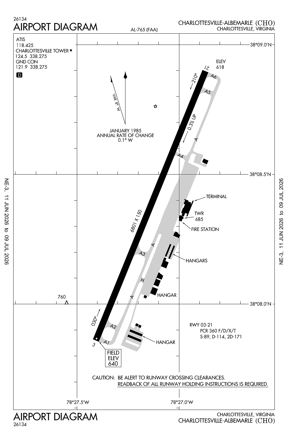
Location:
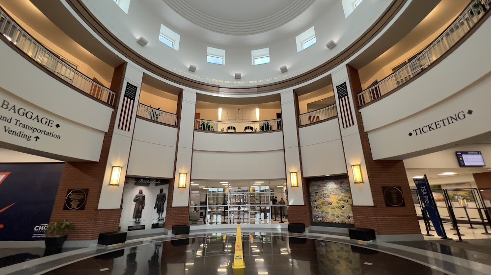
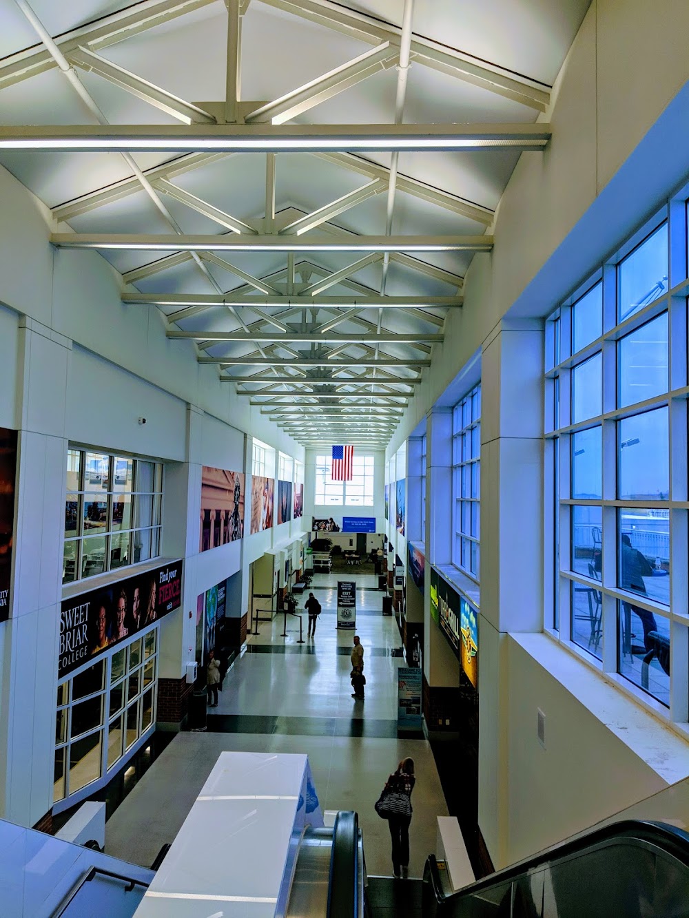
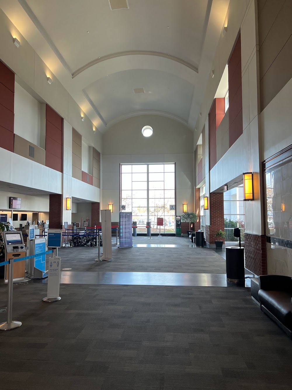
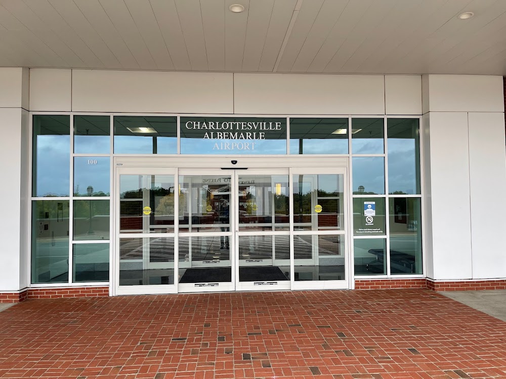
Charlottesville, VA
Elevation:
640ft
Sectional:
Washington
Fuel:
100LL, A (prices)
Runway 03/21:
6,801ft
Access: Open to the public
Similar Airports
Current Weather — VFR
-
Weather data is strictly informational and not for flight planning purposes.
-
METAR2026-07-29 06:53:00 EDT
Ceiling: Sky clear Wind: 010° @ 4kt Temperature: 69°F Dewpoint: 62°F Weather: N/A Visbility: 8SM Raw:METAR KCHO 291053Z 01004KT 8SM CLR 21/17 A2969 RMK AO2 SLP045 T02110172 -
TAF2026-07-29 08:00:00 EDT – 2026-07-29 10:00:00 EDT
Ceiling: Sky clear Wind: 340° @ 4kt Weather: N/A Visbility: 6SM Clouds: Few @ 25,000ft Raw:TAF KCHO 291124Z 2912/3012 34004KT P6SM FEW250 FM291400 35009G16KT P6SM FEW050 FM292200 35006KT P6SM SKC FM300900 27003KT P6SM SKC -
TAF2026-07-29 10:00:00 EDT – 2026-07-29 18:00:00 EDT
Ceiling: Sky clear Wind: 350° @ 9kt, gusts 16kt Weather: N/A Visbility: 6SM Clouds: Few @ 5,000ft Raw:TAF KCHO 291124Z 2912/3012 34004KT P6SM FEW250 FM291400 35009G16KT P6SM FEW050 FM292200 35006KT P6SM SKC FM300900 27003KT P6SM SKC -
TAF2026-07-29 18:00:00 EDT – 2026-07-30 05:00:00 EDT
Ceiling: Sky clear Wind: 350° @ 6kt Weather: N/A Visbility: 6SM Clouds: @ ft Raw:TAF KCHO 291124Z 2912/3012 34004KT P6SM FEW250 FM291400 35009G16KT P6SM FEW050 FM292200 35006KT P6SM SKC FM300900 27003KT P6SM SKC -
TAF2026-07-30 05:00:00 EDT – 2026-07-30 08:00:00 EDT
Ceiling: Sky clear Wind: 270° @ 3kt Weather: N/A Visbility: 6SM Clouds: @ ft Raw:TAF KCHO 291124Z 2912/3012 34004KT P6SM FEW250 FM291400 35009G16KT P6SM FEW050 FM292200 35006KT P6SM SKC FM300900 27003KT P6SM SKC
Click/tap to add an annotation marker to the map
No webcams added yet.
Remarks
- Existed prior to 1959.
- Ppr 24 hrs for unsked air carrier ops with more than 30 psgr seats, 24 hr ppr for all fixed wing mil aircraft ron, call amgr at 434-981-4152.
- Deer & birds on & invof arpt.
- Twy 'j' uncontrolled, not vsb from twr.
- For cd when atct is clsd ctc potomac apch at 866-640-4124.
Comments