Pirep is a free, collaborative database of all public and private airports. All pilots are welcome to contribute their local knowledge to any airport, no registration required.
No upcoming events. Is anything happening here soon?
Last updated: 2024-02-01 20:43:35 CST
Airport Statistics
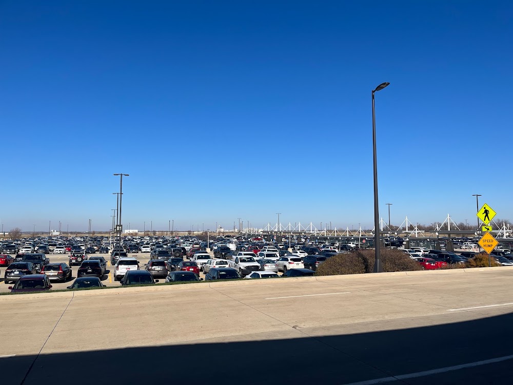
- Transient parking location
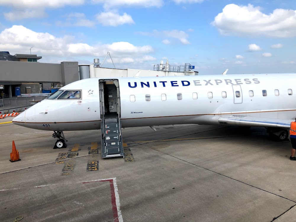
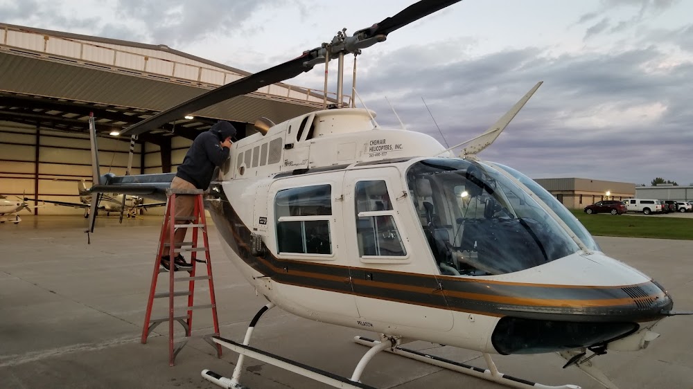
- General description
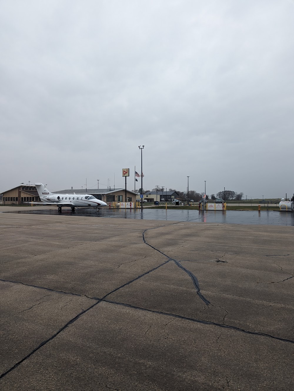
- Fuel pump location
Location:
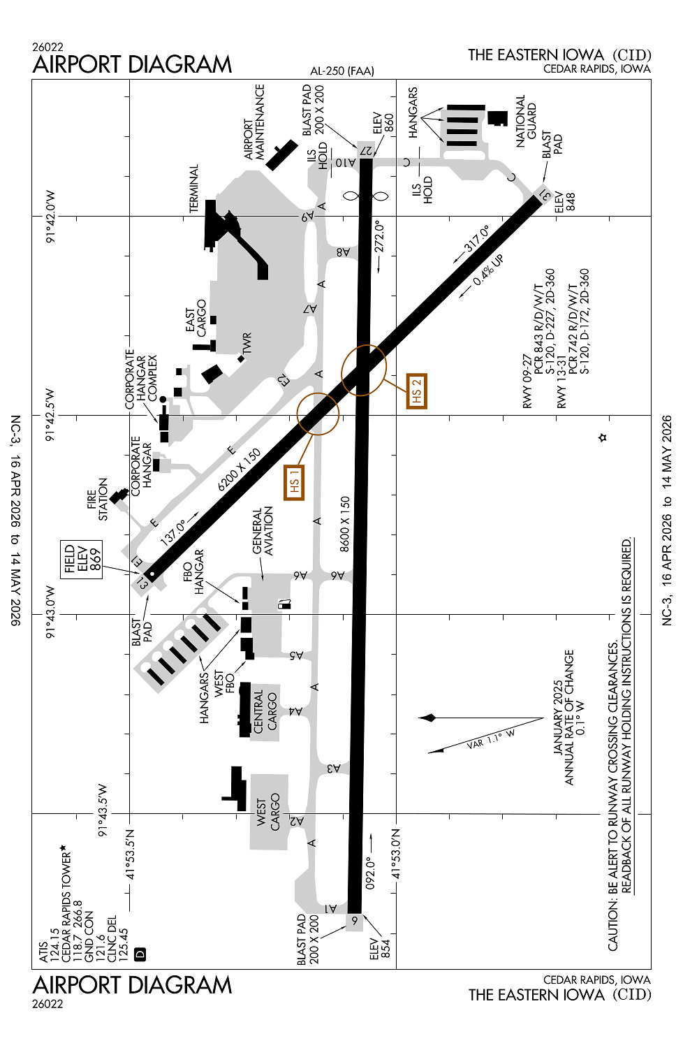
Cedar Rapids, IA
Elevation:
869ft
Sectional:
Chicago
Activation date:
Dec 1944
Fuel:
100LL, A (prices)
Runway 09/27:
8,600ft
Runway 13/31:
6,200ft
Access: Open to the public
Similar Airports
Current Weather — VFR
-
Weather data is strictly informational and not for flight planning purposes.
-
METAR2026-05-17 16:52:00 CDT
Ceiling: Sky clear Wind: 190° @ 16kt, gusts 27kt Temperature: 80°F Dewpoint: 68°F Weather: N/A Visbility: 10SM Clouds: Few @ 7,000ft Raw:METAR KCID 172152Z COR 19016G27KT 10SM FEW070 27/20 A2968 RMK AO2 PK WND 19027/2146 SLP045 T02720200 -
TAF2026-05-17 13:00:00 CDT – 2026-05-17 16:00:00 CDT
Ceiling: 2,500ft Wind: 180° @ 15kt, gusts 24kt Weather: N/A Visbility: 6SM Clouds: Broken @ 2,500ft Raw:TAF KCID 171813Z 1718/1818 18015G24KT P6SM BKN025 FM172100 18017G29KT P6SM SCT035 FM180500 18015G24KT P6SM BKN050 WS020/20045KT PROB30 1807/1809 4SM -TSRA BKN035CB FM180900 18015G23KT 2SM TSRA OVC025CB WS020/20045KT FM181100 17014G21KT 5SM BR OVC025 -
TAF2026-05-17 16:00:00 CDT – 2026-05-18 00:00:00 CDT
Ceiling: Sky clear Wind: 180° @ 17kt, gusts 29kt Weather: N/A Visbility: 6SM Clouds: Scattered @ 3,500ft Raw:TAF KCID 171813Z 1718/1818 18015G24KT P6SM BKN025 FM172100 18017G29KT P6SM SCT035 FM180500 18015G24KT P6SM BKN050 WS020/20045KT PROB30 1807/1809 4SM -TSRA BKN035CB FM180900 18015G23KT 2SM TSRA OVC025CB WS020/20045KT FM181100 17014G21KT 5SM BR OVC025 -
TAF2026-05-18 00:00:00 CDT – 2026-05-18 04:00:00 CDT
Ceiling: 5,000ft Wind: 180° @ 15kt, gusts 24kt Weather: N/A Visbility: 6SM Clouds: Broken @ 5,000ft Raw:TAF KCID 171813Z 1718/1818 18015G24KT P6SM BKN025 FM172100 18017G29KT P6SM SCT035 FM180500 18015G24KT P6SM BKN050 WS020/20045KT PROB30 1807/1809 4SM -TSRA BKN035CB FM180900 18015G23KT 2SM TSRA OVC025CB WS020/20045KT FM181100 17014G21KT 5SM BR OVC025 -
TAF2026-05-18 02:00:00 CDT – 2026-05-18 04:00:00 CDT
Ceiling: 3,500ft Wind: 000° @ kt Weather: Light thunderstorm rain Visbility: 4SM Clouds: Broken @ 3,500ft Raw:TAF KCID 171813Z 1718/1818 18015G24KT P6SM BKN025 FM172100 18017G29KT P6SM SCT035 FM180500 18015G24KT P6SM BKN050 WS020/20045KT PROB30 1807/1809 4SM -TSRA BKN035CB FM180900 18015G23KT 2SM TSRA OVC025CB WS020/20045KT FM181100 17014G21KT 5SM BR OVC025 -
TAF2026-05-18 04:00:00 CDT – 2026-05-18 06:00:00 CDT
Ceiling: 2,500ft Wind: 180° @ 15kt, gusts 23kt Weather: Thunderstorm rain Visbility: 2SM Clouds: Overcast @ 2,500ft Raw:TAF KCID 171813Z 1718/1818 18015G24KT P6SM BKN025 FM172100 18017G29KT P6SM SCT035 FM180500 18015G24KT P6SM BKN050 WS020/20045KT PROB30 1807/1809 4SM -TSRA BKN035CB FM180900 18015G23KT 2SM TSRA OVC025CB WS020/20045KT FM181100 17014G21KT 5SM BR OVC025 -
TAF2026-05-18 06:00:00 CDT – 2026-05-18 13:00:00 CDT
Ceiling: 2,500ft Wind: 170° @ 14kt, gusts 21kt Weather: Mist Visbility: 5SM Clouds: Overcast @ 2,500ft Raw:TAF KCID 171813Z 1718/1818 18015G24KT P6SM BKN025 FM172100 18017G29KT P6SM SCT035 FM180500 18015G24KT P6SM BKN050 WS020/20045KT PROB30 1807/1809 4SM -TSRA BKN035CB FM180900 18015G23KT 2SM TSRA OVC025CB WS020/20045KT FM181100 17014G21KT 5SM BR OVC025
Click/tap to add an annotation marker to the map
No webcams added yet.
Remarks
- Index c level arff avbl; 48 hr ppr - 319-731-5722.
- Birds on & invof arpt.
- When atct is clsd & durg snow & ice all arr & dep annc intns on ctaf 5 mins bfr rwy use. paew sn & ice removal mnt ctaf.
- Twy d is non mov se of aces road. trml ramp non mov; call for push back not rqrd.
- Ry 27 is calm wind ry.
Comments