Pirep is a free, collaborative database of all public and private airports. All pilots are welcome to contribute their local knowledge to any airport, no registration required.


No upcoming events. Is anything happening here soon?
Last updated: 2023-04-07 16:20:33 EDT
Last updated: 2023-04-07 16:20:33 EDT
Airport Statistics
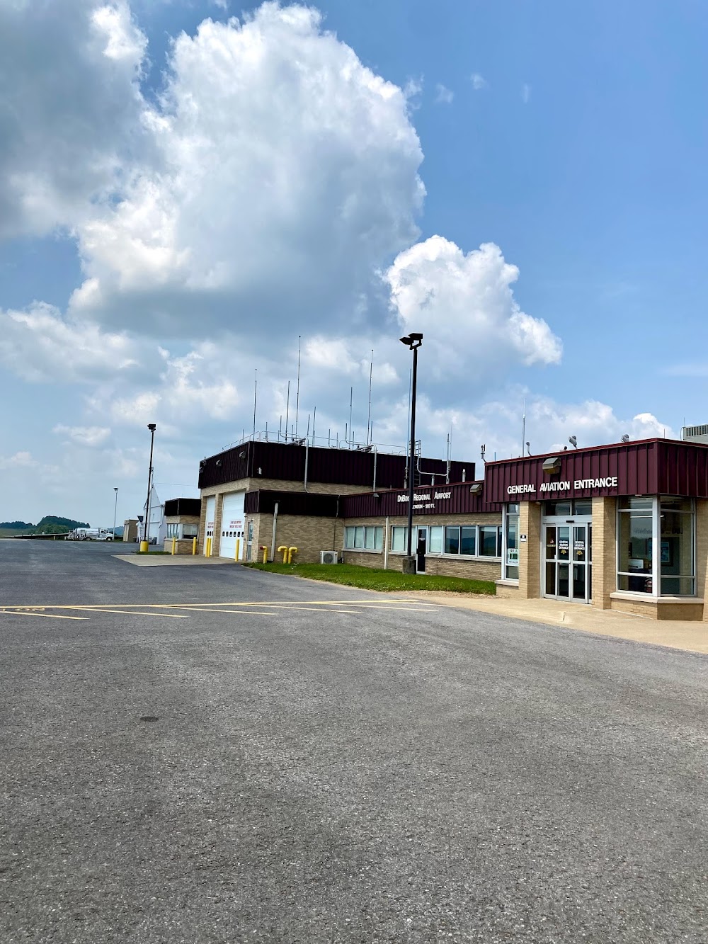
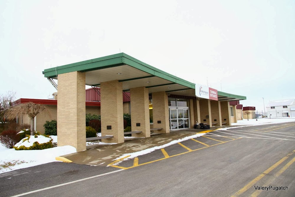
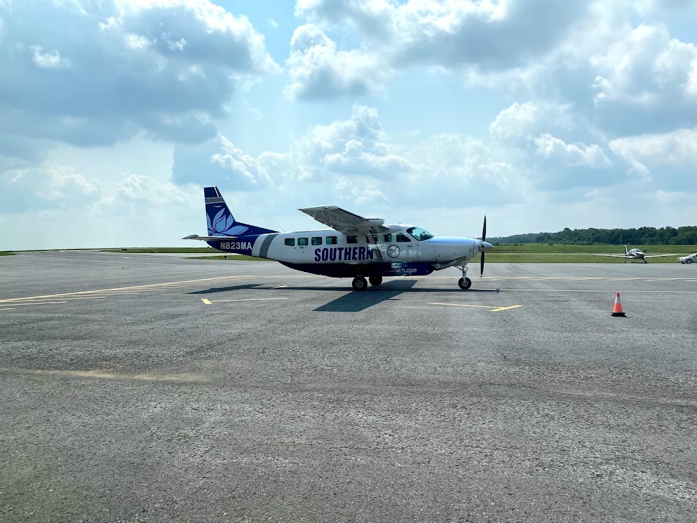
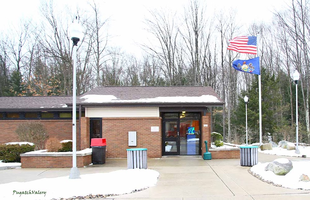
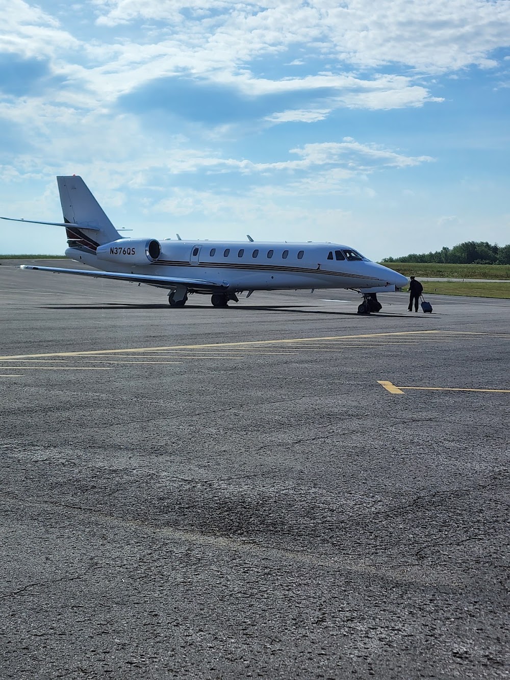
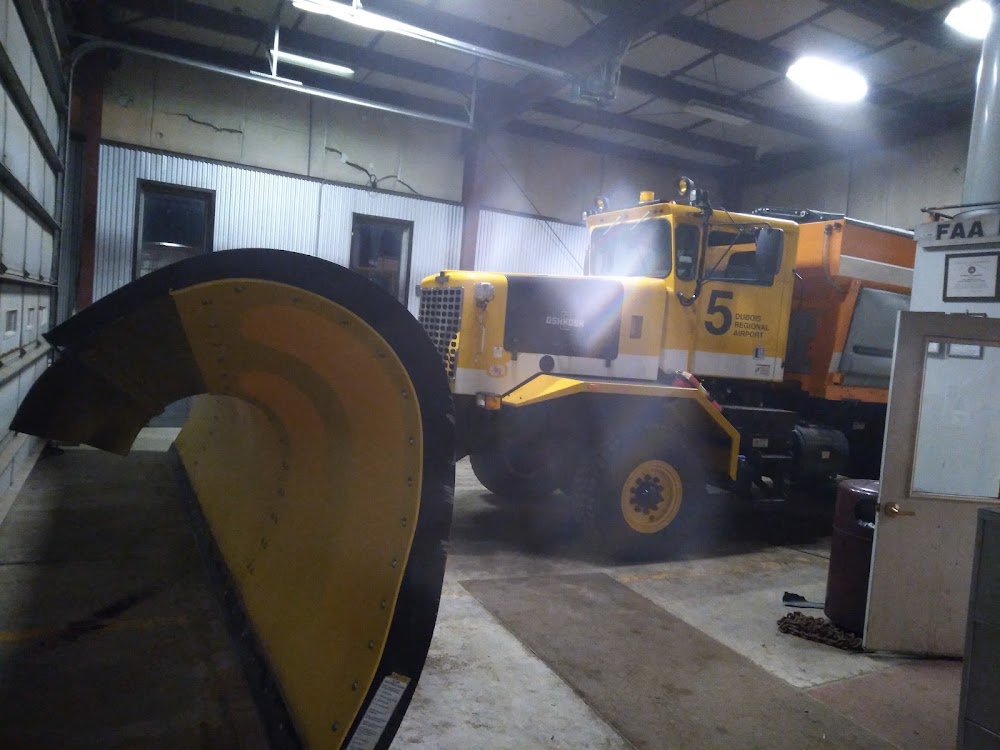
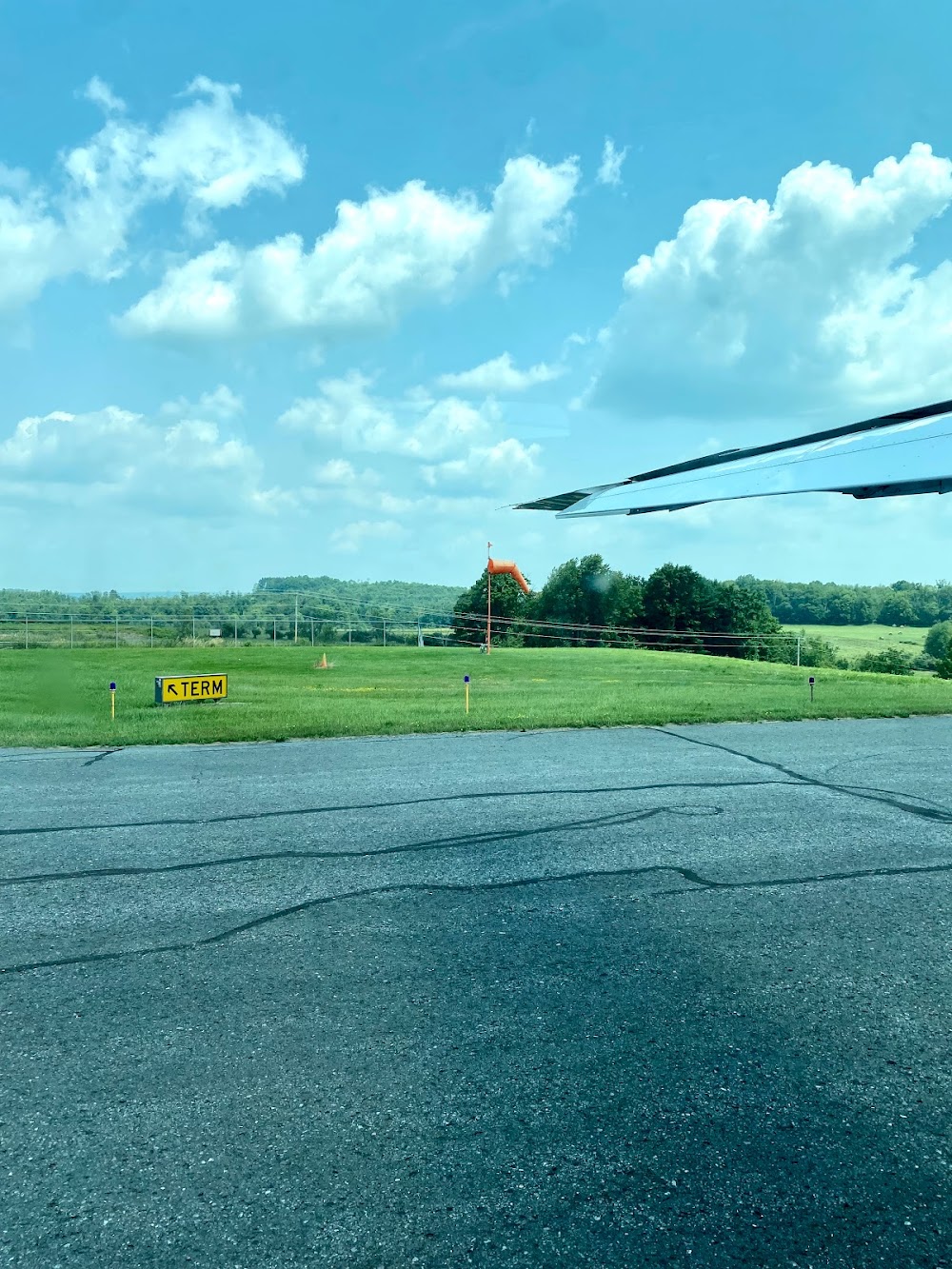
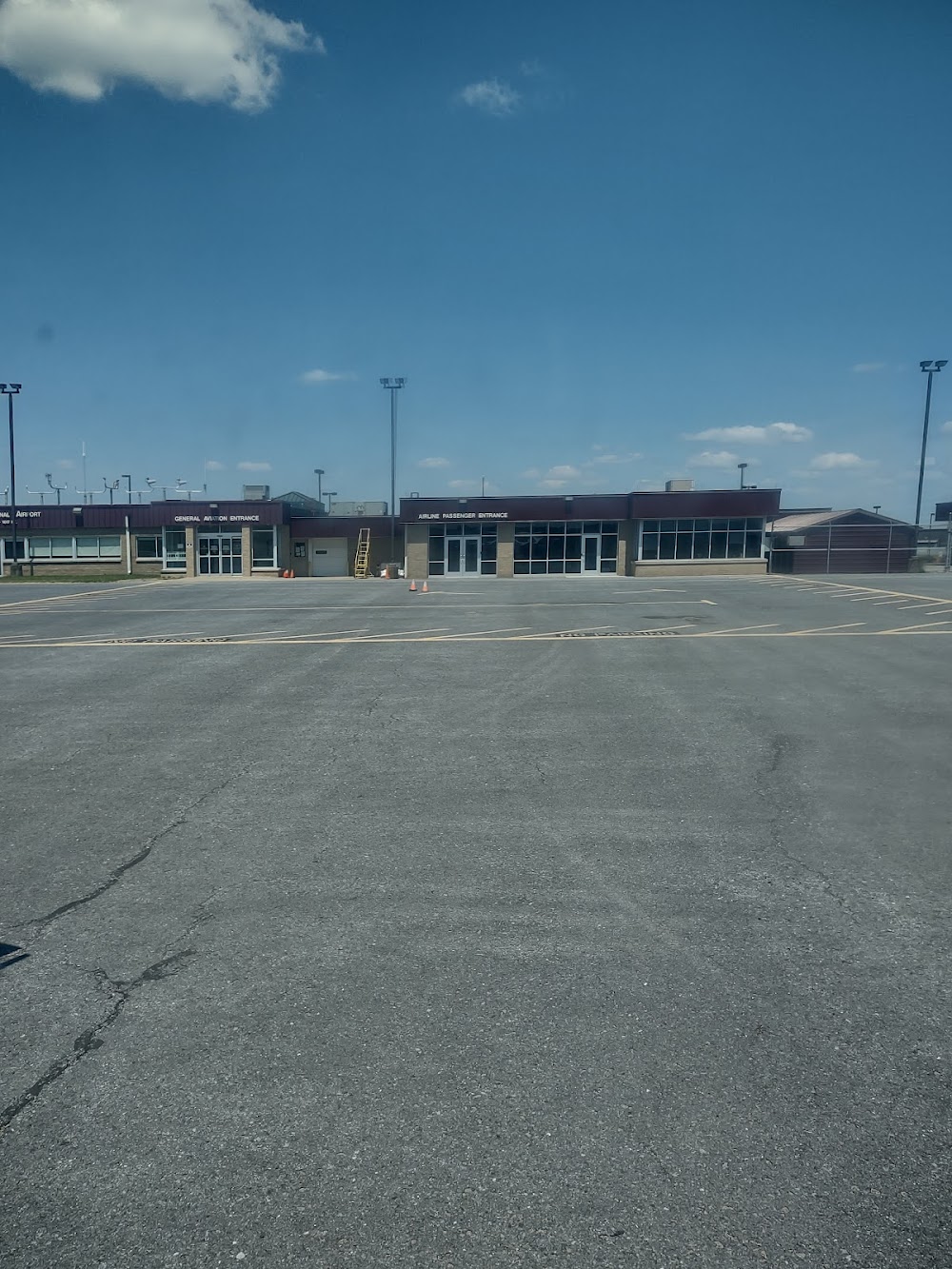
- Airport photos
- Landing & tie-down fees
- WiFi availability
Location:
Dubois, PA
Elevation:
1,816ft
Sectional:
Detroit
Activation date:
May 1960
Fuel:
100LL, A (prices)
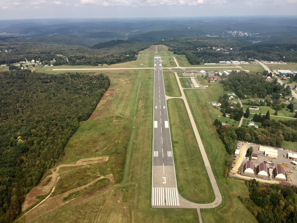
Runway 07/25:
5,503ft
Access: Open to the public
Similar Airports
Current Weather — VFR
-
Weather data is strictly informational and not for flight planning purposes.
-
METAR2026-07-29 05:53:00 EDT
Ceiling: 3,700ft Wind: 290° @ 5kt Temperature: 62°F Dewpoint: 60°F Weather: N/A Visbility: 10SM Clouds: Overcast @ 3,700ft Raw:METAR KDUJ 290953Z AUTO 29005KT 10SM OVC037 17/16 A2974 RMK AO2 SLP060 T01670156 -
TAF2026-07-29 02:00:00 EDT – 2026-07-29 04:00:00 EDT
Ceiling: Sky clear Wind: 320° @ 4kt Weather: N/A Visbility: 6SM Clouds: Scattered @ 3,000ft Raw:TAF KDUJ 290520Z 2906/3006 32004KT P6SM SCT030 FM290800 31006KT P6SM BKN020 TEMPO 2909/2912 BKN015 FM291400 31008KT P6SM BKN030 FM291700 32010G18KT P6SM BKN040 FM300000 32006KT P6SM FEW050 -
TAF2026-07-29 04:00:00 EDT – 2026-07-29 10:00:00 EDT
Ceiling: 2,000ft Wind: 310° @ 6kt Weather: N/A Visbility: 6SM Clouds: Broken @ 2,000ft Raw:TAF KDUJ 290520Z 2906/3006 32004KT P6SM SCT030 FM290800 31006KT P6SM BKN020 TEMPO 2909/2912 BKN015 FM291400 31008KT P6SM BKN030 FM291700 32010G18KT P6SM BKN040 FM300000 32006KT P6SM FEW050 -
TAF2026-07-29 05:00:00 EDT – 2026-07-29 08:00:00 EDT
Ceiling: 1,500ft Wind: 000° @ kt Weather: N/A Visbility: SM Clouds: Broken @ 1,500ft Raw:TAF KDUJ 290520Z 2906/3006 32004KT P6SM SCT030 FM290800 31006KT P6SM BKN020 TEMPO 2909/2912 BKN015 FM291400 31008KT P6SM BKN030 FM291700 32010G18KT P6SM BKN040 FM300000 32006KT P6SM FEW050 -
TAF2026-07-29 10:00:00 EDT – 2026-07-29 13:00:00 EDT
Ceiling: 3,000ft Wind: 310° @ 8kt Weather: N/A Visbility: 6SM Clouds: Broken @ 3,000ft Raw:TAF KDUJ 290520Z 2906/3006 32004KT P6SM SCT030 FM290800 31006KT P6SM BKN020 TEMPO 2909/2912 BKN015 FM291400 31008KT P6SM BKN030 FM291700 32010G18KT P6SM BKN040 FM300000 32006KT P6SM FEW050 -
TAF2026-07-29 13:00:00 EDT – 2026-07-29 20:00:00 EDT
Ceiling: 4,000ft Wind: 320° @ 10kt, gusts 18kt Weather: N/A Visbility: 6SM Clouds: Broken @ 4,000ft Raw:TAF KDUJ 290520Z 2906/3006 32004KT P6SM SCT030 FM290800 31006KT P6SM BKN020 TEMPO 2909/2912 BKN015 FM291400 31008KT P6SM BKN030 FM291700 32010G18KT P6SM BKN040 FM300000 32006KT P6SM FEW050 -
TAF2026-07-29 20:00:00 EDT – 2026-07-30 02:00:00 EDT
Ceiling: Sky clear Wind: 320° @ 6kt Weather: N/A Visbility: 6SM Clouds: Few @ 5,000ft Raw:TAF KDUJ 290520Z 2906/3006 32004KT P6SM SCT030 FM290800 31006KT P6SM BKN020 TEMPO 2909/2912 BKN015 FM291400 31008KT P6SM BKN030 FM291700 32010G18KT P6SM BKN040 FM300000 32006KT P6SM FEW050
Click/tap to add an annotation marker to the map
No webcams added yet.
Remarks
- Flocks of birds on & invof arpt.
- Tpa 983 ft agl. tpa for large turbine powered acft 1483 ft agl.
- For cd ctc cleveland artcc at 440-774-0234.
- Actvt hirl ry 07/25, reil & vasi ry 07, malsr ry 25, & twy lgts - ctaf. papi ry 25 on 24 hrs.
- Regional airport authority
- All sfcs wip; grass cutting april thru oct.
- Rwy & twy conds not mnt outside of nml atndnc hrs.
- Pcr value: 630/f/a/x/t
Comments