Pirep is a free, collaborative database of all public and private airports. All pilots are welcome to contribute their local knowledge to any airport, no registration required.

No upcoming events. Is anything happening here soon?
Last updated: 2024-02-11 02:30:52 EST
Airport Statistics
- Fuel pump location
- Webcam links
- Landing & tie-down fees
Location:
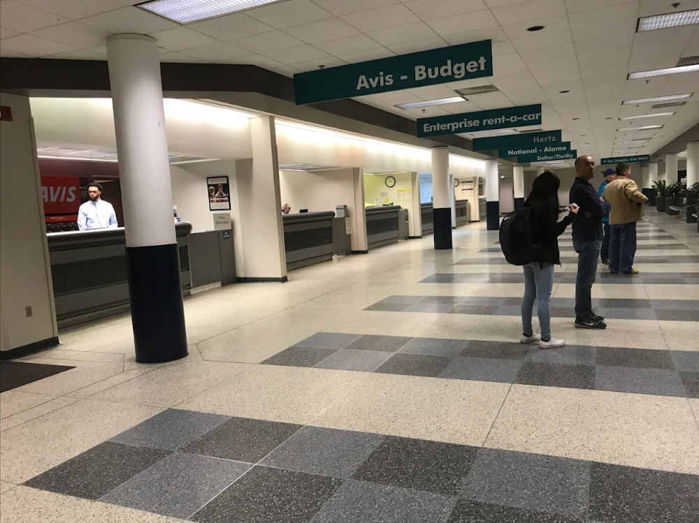
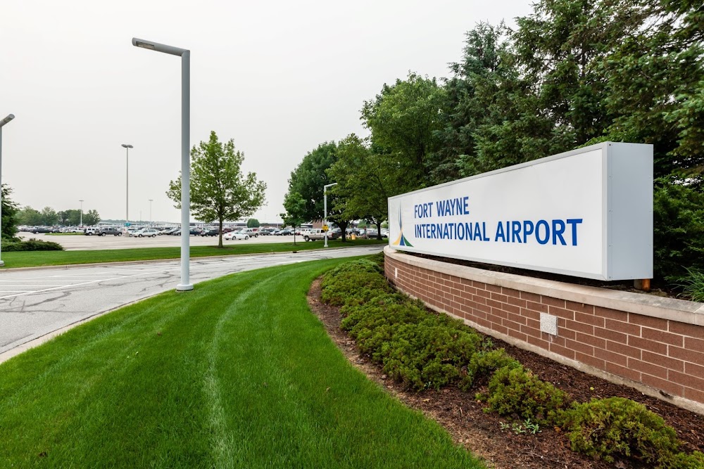
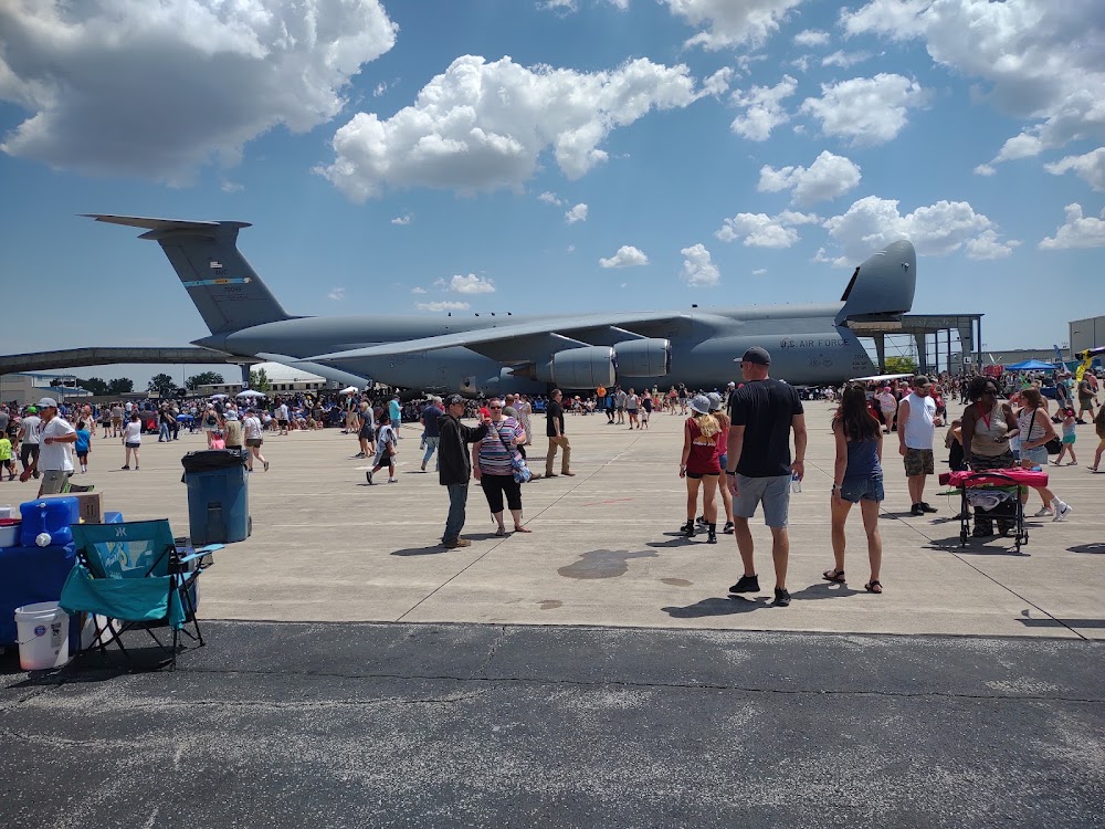
Fort Wayne, IN
Elevation:
814ft
Sectional:
Chicago
Activation date:
Jan 1943
Fuel:
100LL, A, A+ (prices)
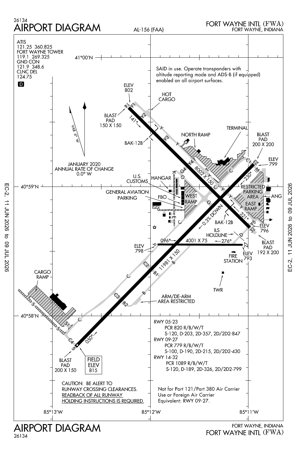
Runway 05/23:
11,981ft
Runway 14/32:
8,002ft
Runway 09/27:
4,001ft
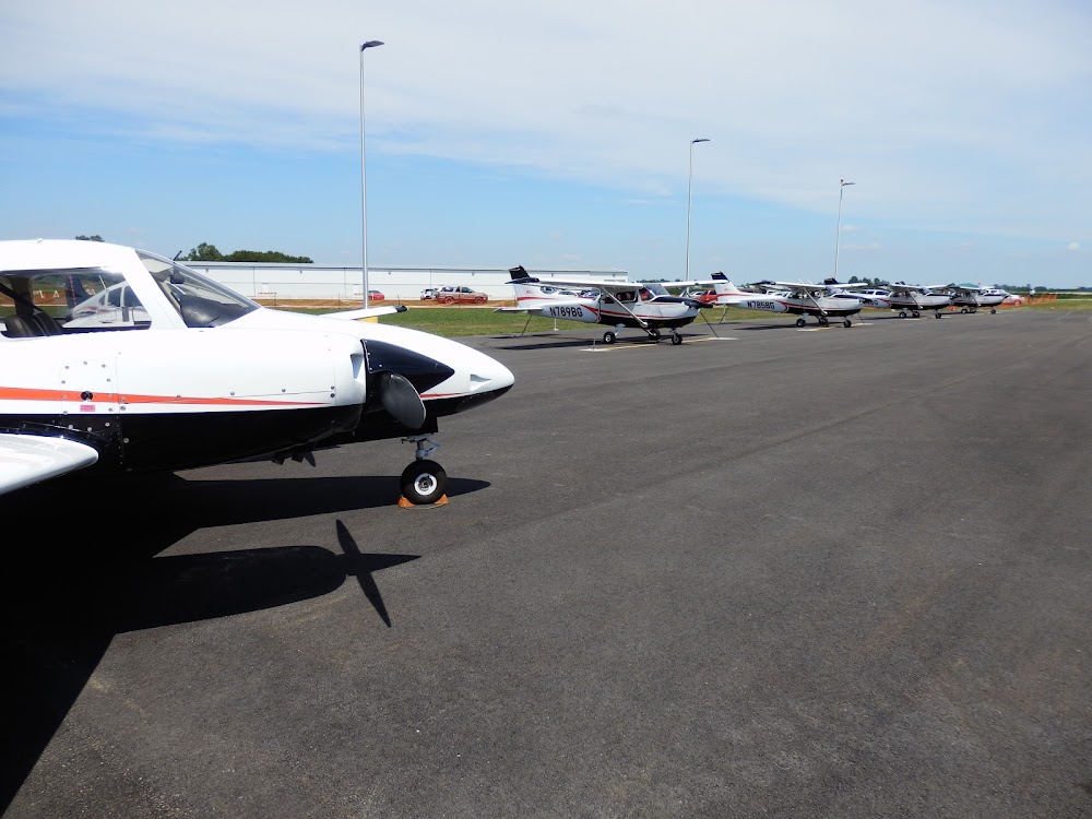
Access: Open to the public
Similar Airports


Current Weather — VFR
-
Weather data is strictly informational and not for flight planning purposes.
-
METAR2026-07-29 04:54:00 EDT
Ceiling: Sky clear Wind: 020° @ 3kt Temperature: 64°F Dewpoint: 62°F Weather: N/A Visbility: 10SM Clouds: Few @ 4,000ft Raw:METAR KFWA 290854Z 02003KT 10SM FEW040 18/17 A2989 RMK AO2 SLP114 T01780167 55001 -
TAF2026-07-29 02:00:00 EDT – 2026-07-29 04:00:00 EDT
Ceiling: Sky clear Wind: 360° @ 5kt Weather: N/A Visbility: 6SM Clouds: Few @ 3,000ft, Few @ 5,000ft Raw:TAF KFWA 290520Z 2906/3006 36005KT P6SM FEW030 FEW050 FM290800 01004KT P6SM SKC FM291400 36008KT P6SM SKC -
TAF2026-07-29 04:00:00 EDT – 2026-07-29 10:00:00 EDT
Ceiling: Sky clear Wind: 010° @ 4kt Weather: N/A Visbility: 6SM Clouds: @ ft Raw:TAF KFWA 290520Z 2906/3006 36005KT P6SM FEW030 FEW050 FM290800 01004KT P6SM SKC FM291400 36008KT P6SM SKC -
TAF2026-07-29 10:00:00 EDT – 2026-07-30 02:00:00 EDT
Ceiling: Sky clear Wind: 360° @ 8kt Weather: N/A Visbility: 6SM Clouds: @ ft Raw:TAF KFWA 290520Z 2906/3006 36005KT P6SM FEW030 FEW050 FM290800 01004KT P6SM SKC FM291400 36008KT P6SM SKC
Click/tap to add an annotation marker to the map
No webcams added yet.
Remarks
- Atc-ctl
- Arff index c avbl upon req - 260-747-2624.
- Birds on & invof arpt.
- Twy m & east ramp mil use only; otr by request - ang 260-478-3202.
- Twy b arm/dearm area rstrd to mil acft.
Comments