Pirep is a free, collaborative database of all public and private airports. All pilots are welcome to contribute their local knowledge to any airport, no registration required.
No upcoming events. Is anything happening here soon?
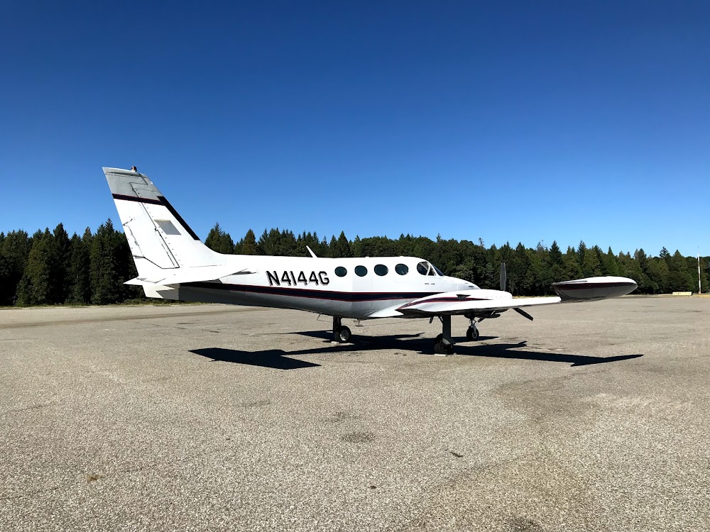
Last updated: 2024-01-14 19:01:19 PST
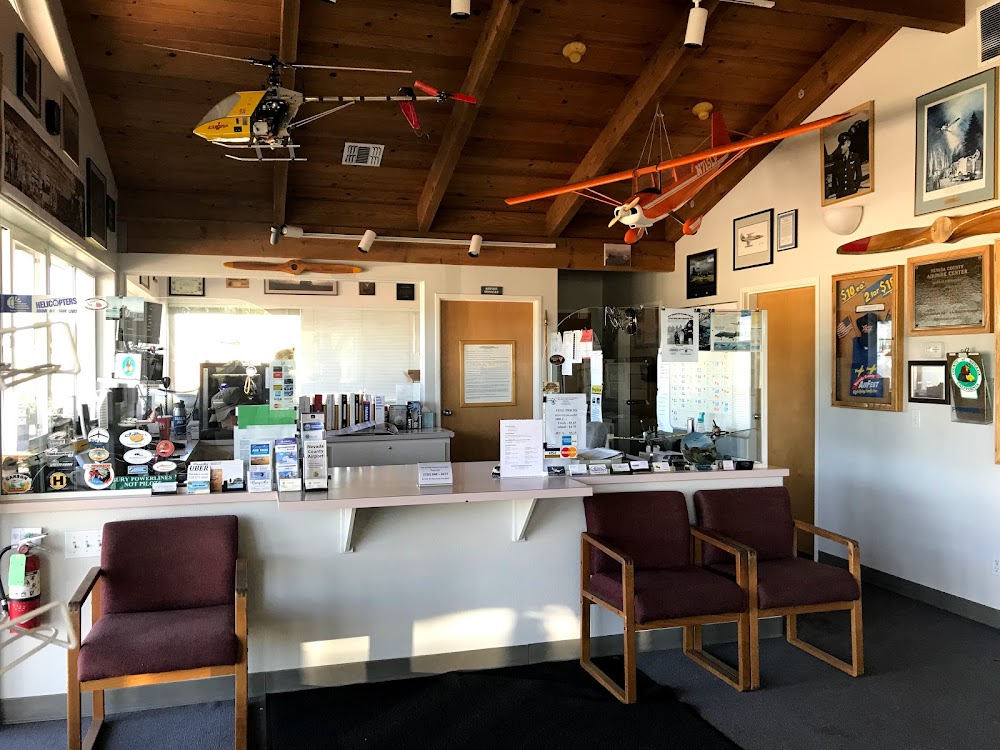
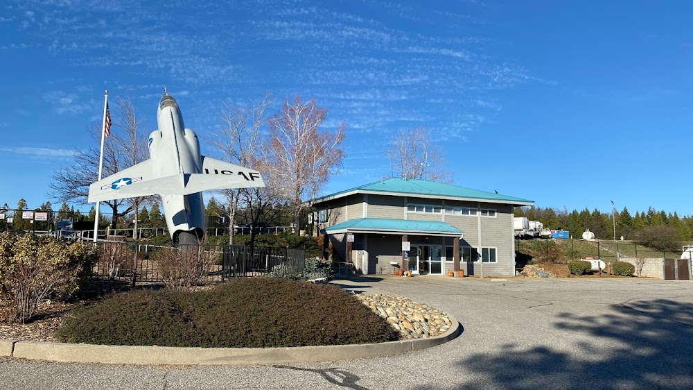
Last updated: 2024-01-13 10:11:02 PST
Airport Statistics
- Local flying clubs
- Landing & tie-down fees
- Fuel pump location
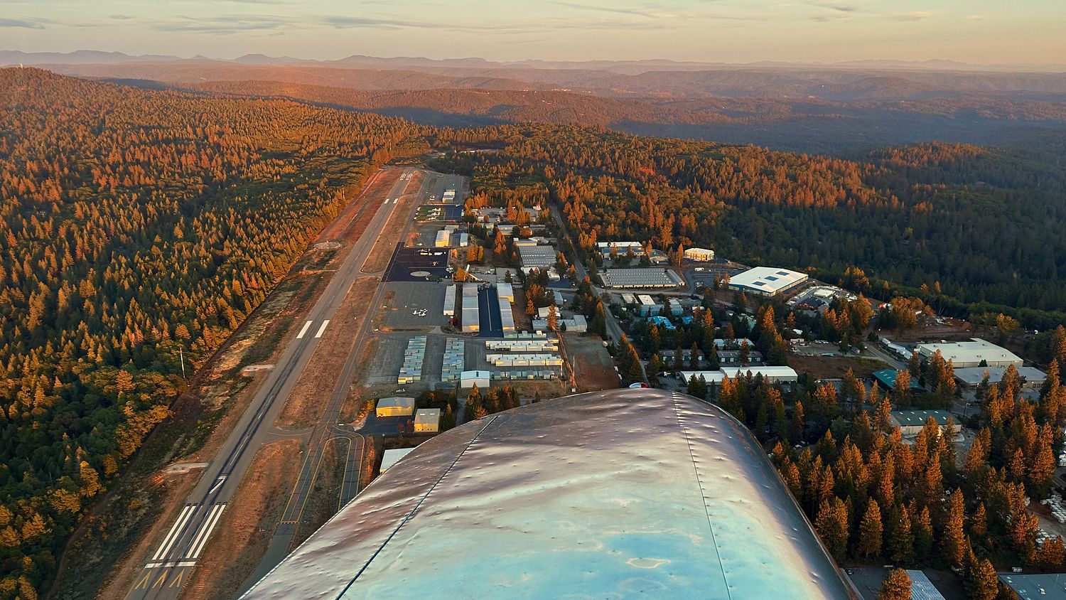
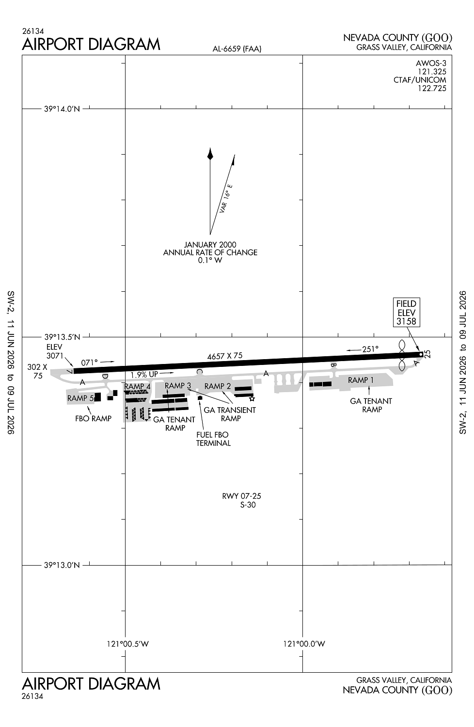
Location:
Grass Valley, CA
Elevation:
3,157ft
Sectional:
San Francisco
Activation date:
Mar 1941
Fuel:
100LL, A (prices)
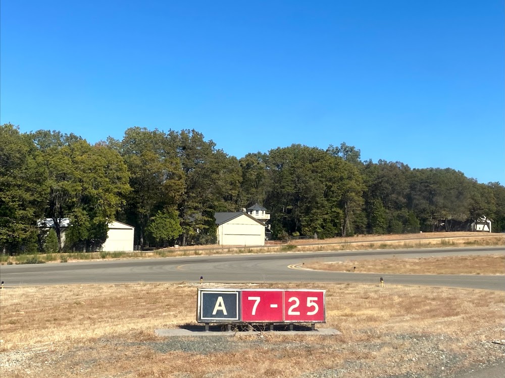
Runway 07/25:
4,657ft
Access: Open to the public
Similar Airports

Current Weather — VFR
-
Weather data is strictly informational and not for flight planning purposes.
-
METAR2026-07-29 00:15:00 PDT
Ceiling: Sky clear Wind: 100° @ 4kt Temperature: 73°F Dewpoint: 39°F Weather: N/A Visbility: 10SM Raw:METAR KGOO 290715Z AUTO 10004KT 10SM CLR 23/04 A2998 RMK A01
Click/tap to add an annotation marker to the map
Remarks
- Existed prior to 1959.
- Rwy 07/25 slopes 1.9 pct downhill to the west. rwy 07 tkofs not rcmdd due to rising trrn.
- For cd ctc norcal apch at 916-361-6874.
- Actvt vasi rwy 07; mirl rwy 07/25 - ctaf.
- Kevin.edwards@nevadacountyca.gov
Comments