Pirep is a free, collaborative database of all public and private airports. All pilots are welcome to contribute their local knowledge to any airport, no registration required.
No upcoming events. Is anything happening here soon?
Last updated: 2023-05-22 22:36:06 CDT
Airport Statistics
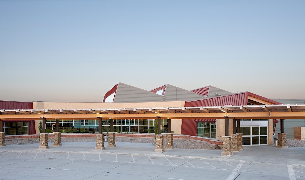
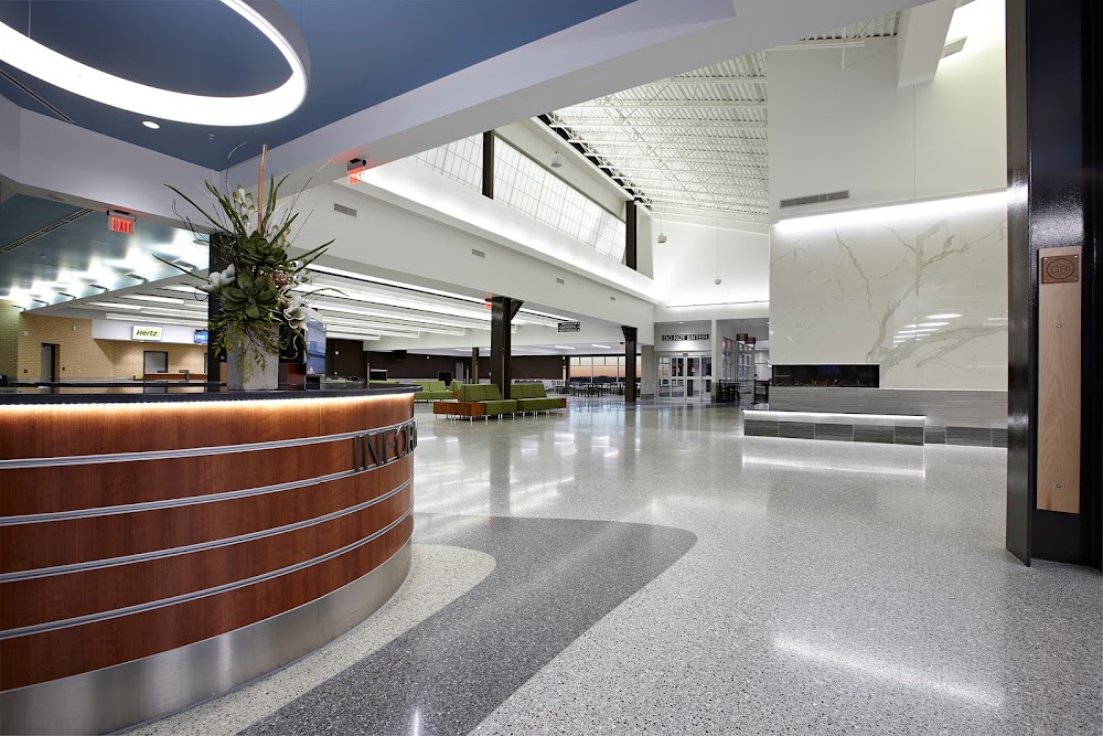
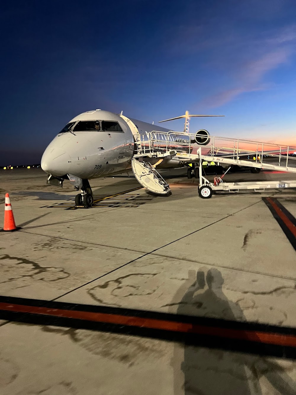
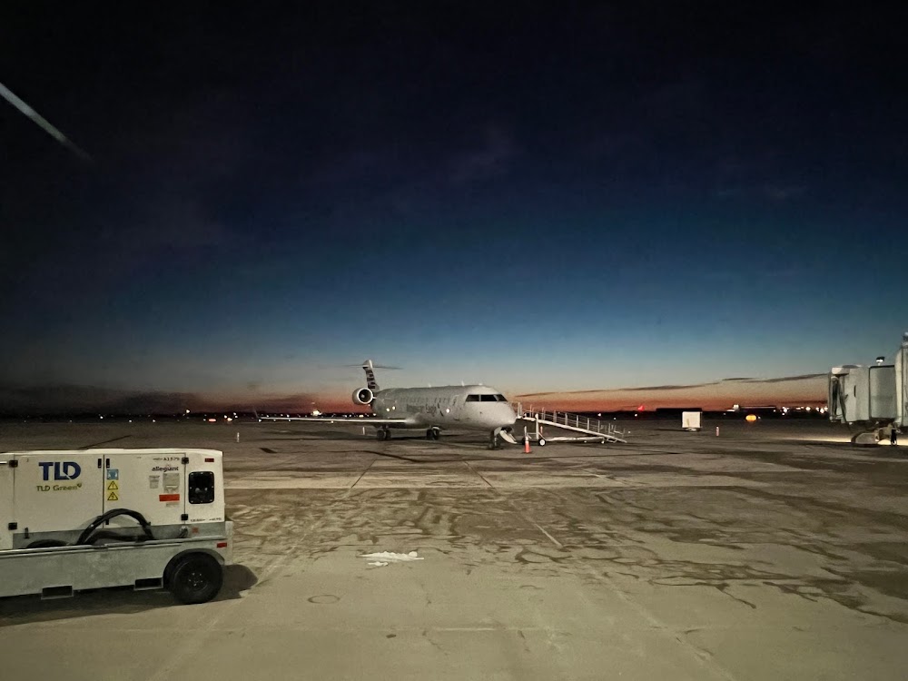
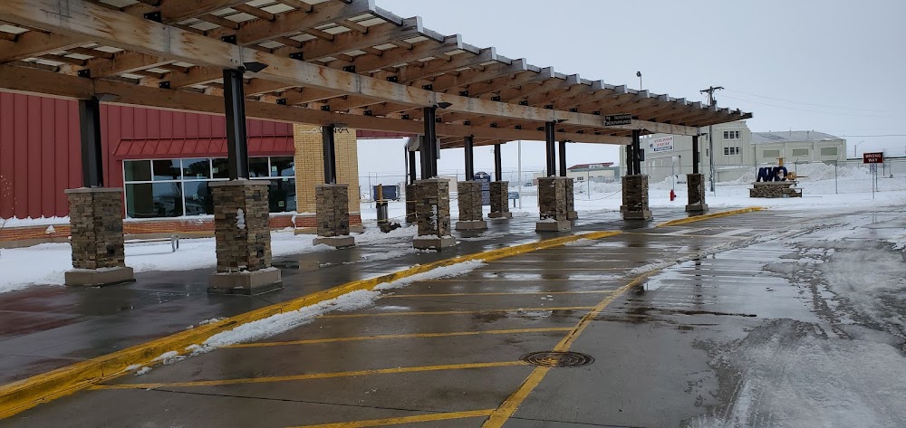
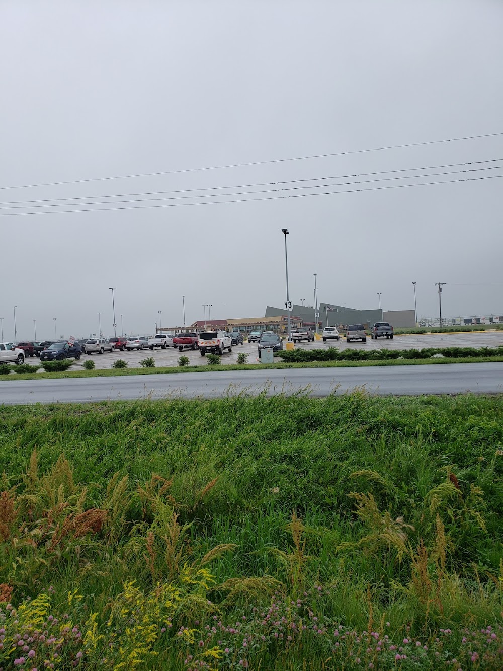
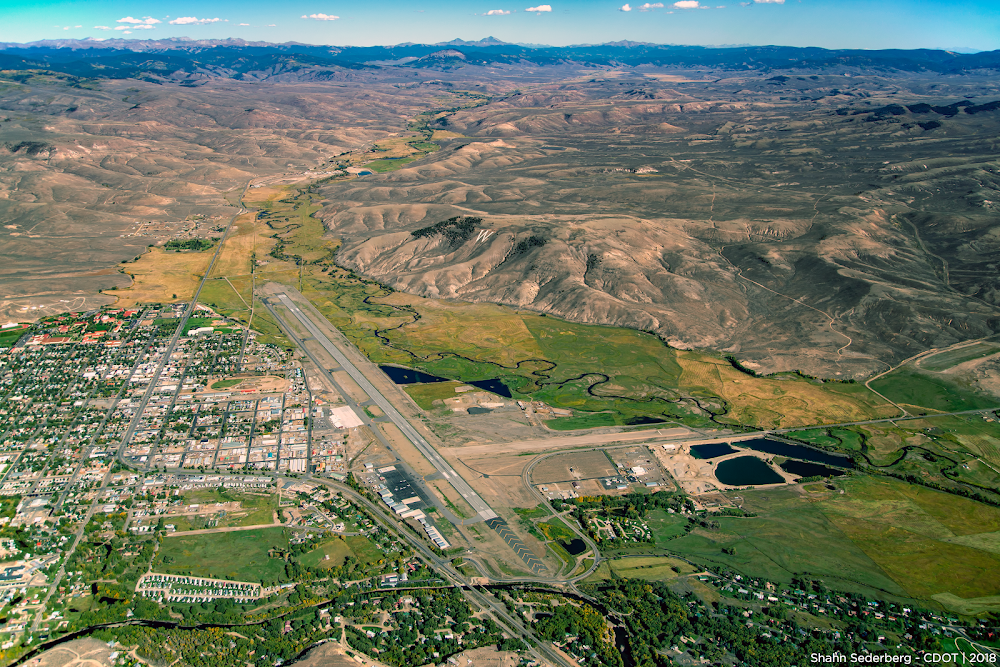
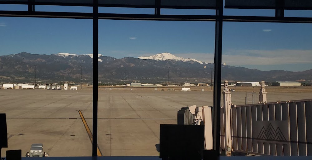
- Airport photos
- Fuel pump location
- Landing & tie-down fees
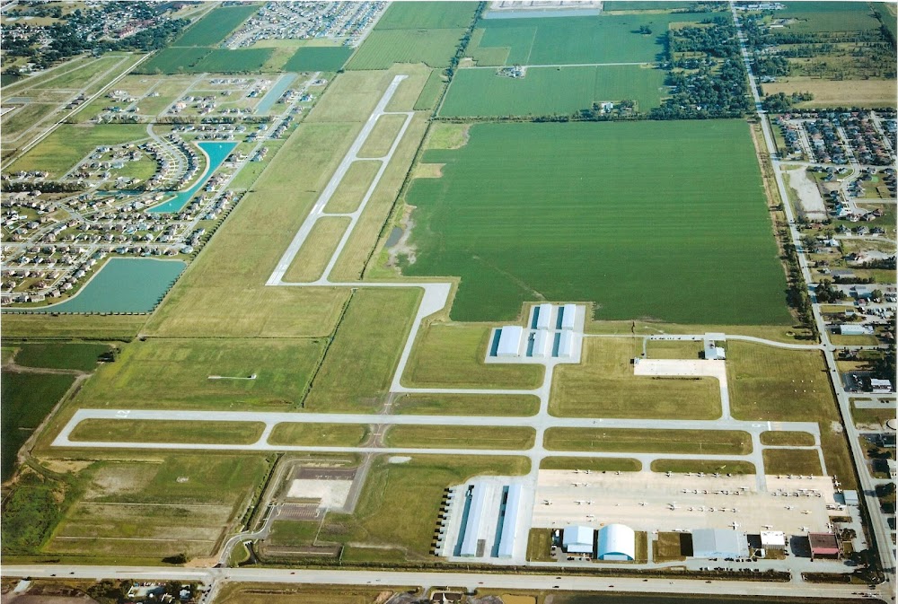
Location:
Grand Island, NE
Elevation:
1,847ft
Sectional:
Omaha
Activation date:
Apr 1940
Fuel:
100LL, A (prices)
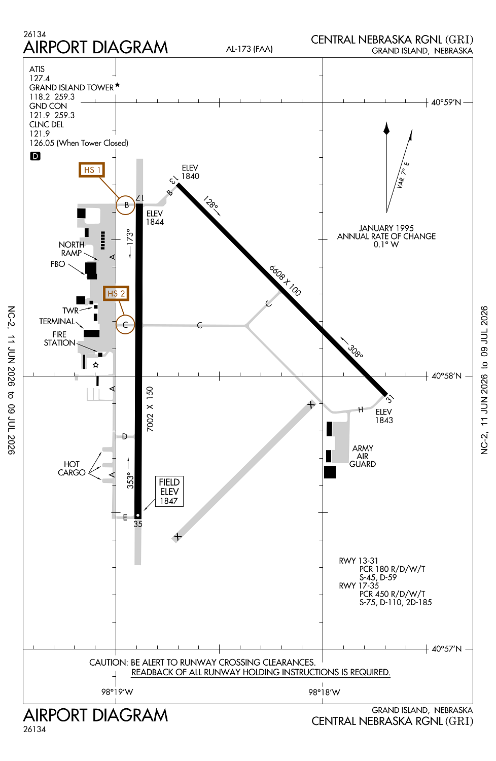
Runway 17/35:
7,002ft
Runway 13/31:
6,608ft
Access: Open to the public
Similar Airports
Current Weather — VFR
-
Weather data is strictly informational and not for flight planning purposes.
-
METAR2026-07-28 23:53:00 CDT
Ceiling: Sky clear Wind: 140° @ 4kt Temperature: 78°F Dewpoint: 75°F Weather: N/A Visbility: 10SM Raw:METAR KGRI 290453Z AUTO 14004KT 10SM CLR 26/24 A2993 RMK AO2 SLP120 T02610239 -
TAF2026-07-28 19:00:00 CDT – 2026-07-29 03:00:00 CDT
Ceiling: 12,000ft Wind: 120° @ 7kt Weather: N/A Visbility: 6SM Clouds: Scattered @ 7,000ft, Broken @ 12,000ft Raw:TAF KGRI 290007Z 2900/2924 12007KT P6SM SCT070 BKN120 FM290800 VRB04KT 6SM BR SCT010 BKN120 PROB30 2908/2914 VRB30KT 4SM -TSRA BKN010CB FM291400 12007KT P6SM SCT015 SCT100 FM291800 14010KT P6SM FEW030 SCT100 -
TAF2026-07-29 03:00:00 CDT – 2026-07-29 09:00:00 CDT
Ceiling: 12,000ft Wind: Variable Weather: Mist Visbility: 6SM Clouds: Scattered @ 1,000ft, Broken @ 12,000ft Raw:TAF KGRI 290007Z 2900/2924 12007KT P6SM SCT070 BKN120 FM290800 VRB04KT 6SM BR SCT010 BKN120 PROB30 2908/2914 VRB30KT 4SM -TSRA BKN010CB FM291400 12007KT P6SM SCT015 SCT100 FM291800 14010KT P6SM FEW030 SCT100 -
TAF2026-07-29 03:00:00 CDT – 2026-07-29 09:00:00 CDT
Ceiling: 1,000ft Wind: Variable Weather: Light thunderstorm rain Visbility: 4SM Clouds: Broken @ 1,000ft Raw:TAF KGRI 290007Z 2900/2924 12007KT P6SM SCT070 BKN120 FM290800 VRB04KT 6SM BR SCT010 BKN120 PROB30 2908/2914 VRB30KT 4SM -TSRA BKN010CB FM291400 12007KT P6SM SCT015 SCT100 FM291800 14010KT P6SM FEW030 SCT100 -
TAF2026-07-29 09:00:00 CDT – 2026-07-29 13:00:00 CDT
Ceiling: Sky clear Wind: 120° @ 7kt Weather: N/A Visbility: 6SM Clouds: Scattered @ 1,500ft, Scattered @ 10,000ft Raw:TAF KGRI 290007Z 2900/2924 12007KT P6SM SCT070 BKN120 FM290800 VRB04KT 6SM BR SCT010 BKN120 PROB30 2908/2914 VRB30KT 4SM -TSRA BKN010CB FM291400 12007KT P6SM SCT015 SCT100 FM291800 14010KT P6SM FEW030 SCT100 -
TAF2026-07-29 13:00:00 CDT – 2026-07-29 19:00:00 CDT
Ceiling: Sky clear Wind: 140° @ 10kt Weather: N/A Visbility: 6SM Clouds: Few @ 3,000ft, Scattered @ 10,000ft Raw:TAF KGRI 290007Z 2900/2924 12007KT P6SM SCT070 BKN120 FM290800 VRB04KT 6SM BR SCT010 BKN120 PROB30 2908/2914 VRB30KT 4SM -TSRA BKN010CB FM291400 12007KT P6SM SCT015 SCT100 FM291800 14010KT P6SM FEW030 SCT100
Click/tap to add an annotation marker to the map
No webcams added yet.
Remarks
- This airport has been surveyed by the national geodetic survey.
- Ppr 24 hrs for unsked acr opns with more than 30 psgr seats call amgr (308) 385-5170. index c level arff is avbl upon request. acr opns over 9 psgr seats not authorized in excess of 15 mins before or aft sked arr/dep times except with prior coordination with amgr.
- Compressed nitrogen for strut inflation avbl.
- Inbound acft ctc ops 10 min prior to lndg.
- Arng: opr 0730-1600++mon-fri; ocnl wkend. ppr to prk arng ramp. dsn 279-8691, c402-309-8691.
Comments