Pirep is a free, collaborative database of all public and private airports. All pilots are welcome to contribute their local knowledge to any airport, no registration required.

No upcoming events. Is anything happening here soon?
Last updated: 2023-05-10 01:07:46 EDT
Airport Statistics
- Local flying clubs
- Fuel pump location
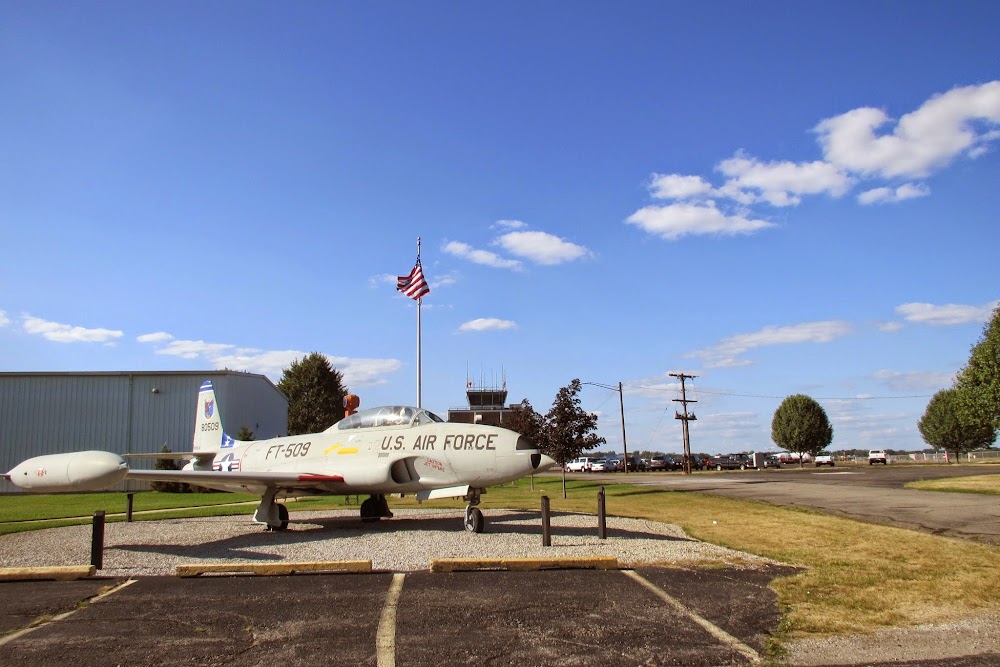
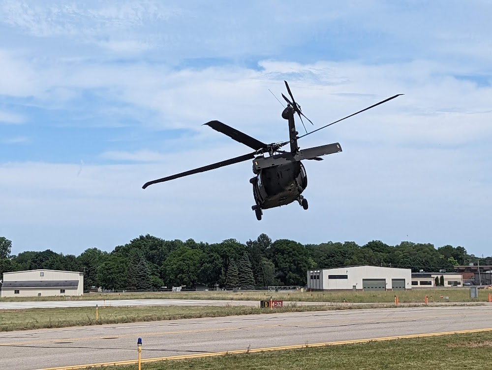
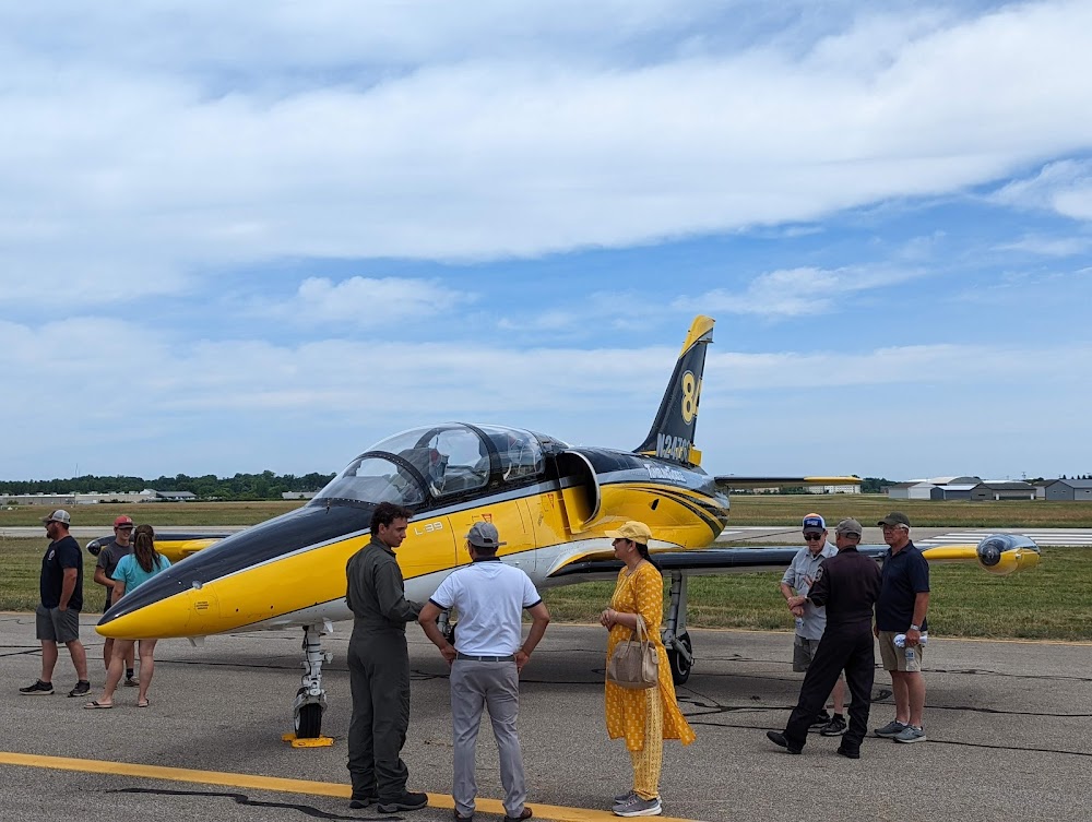
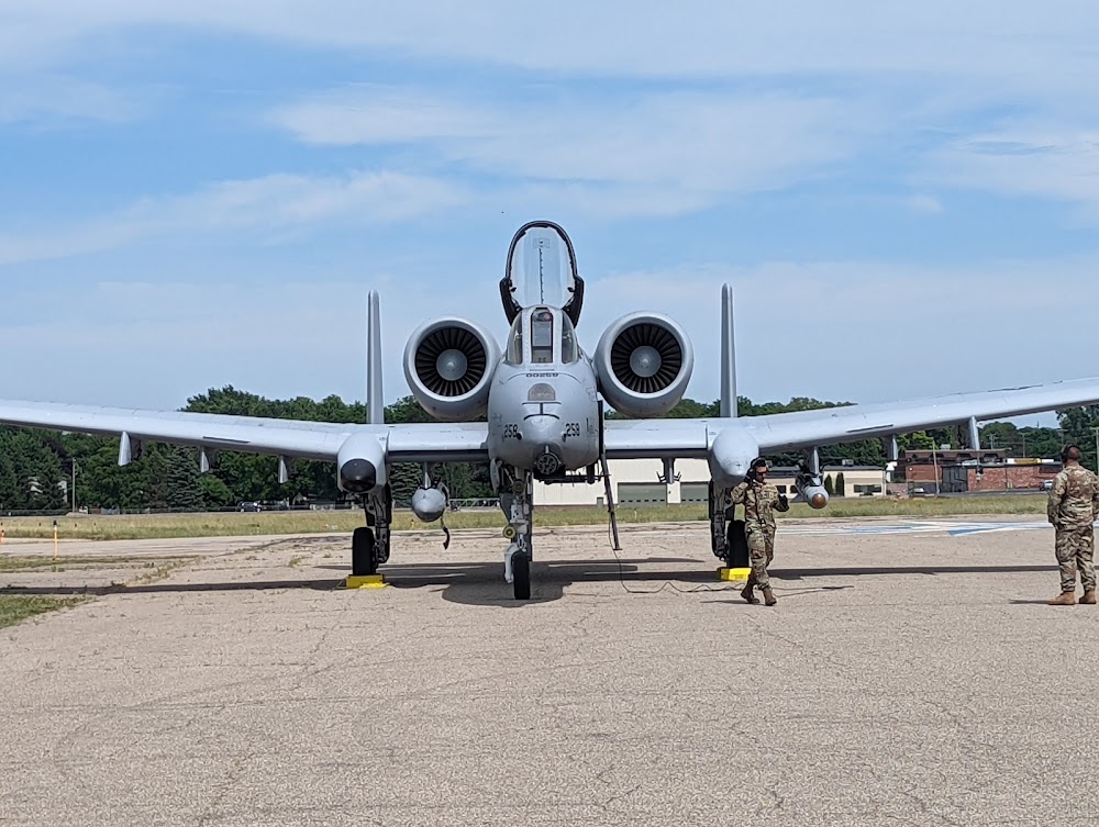
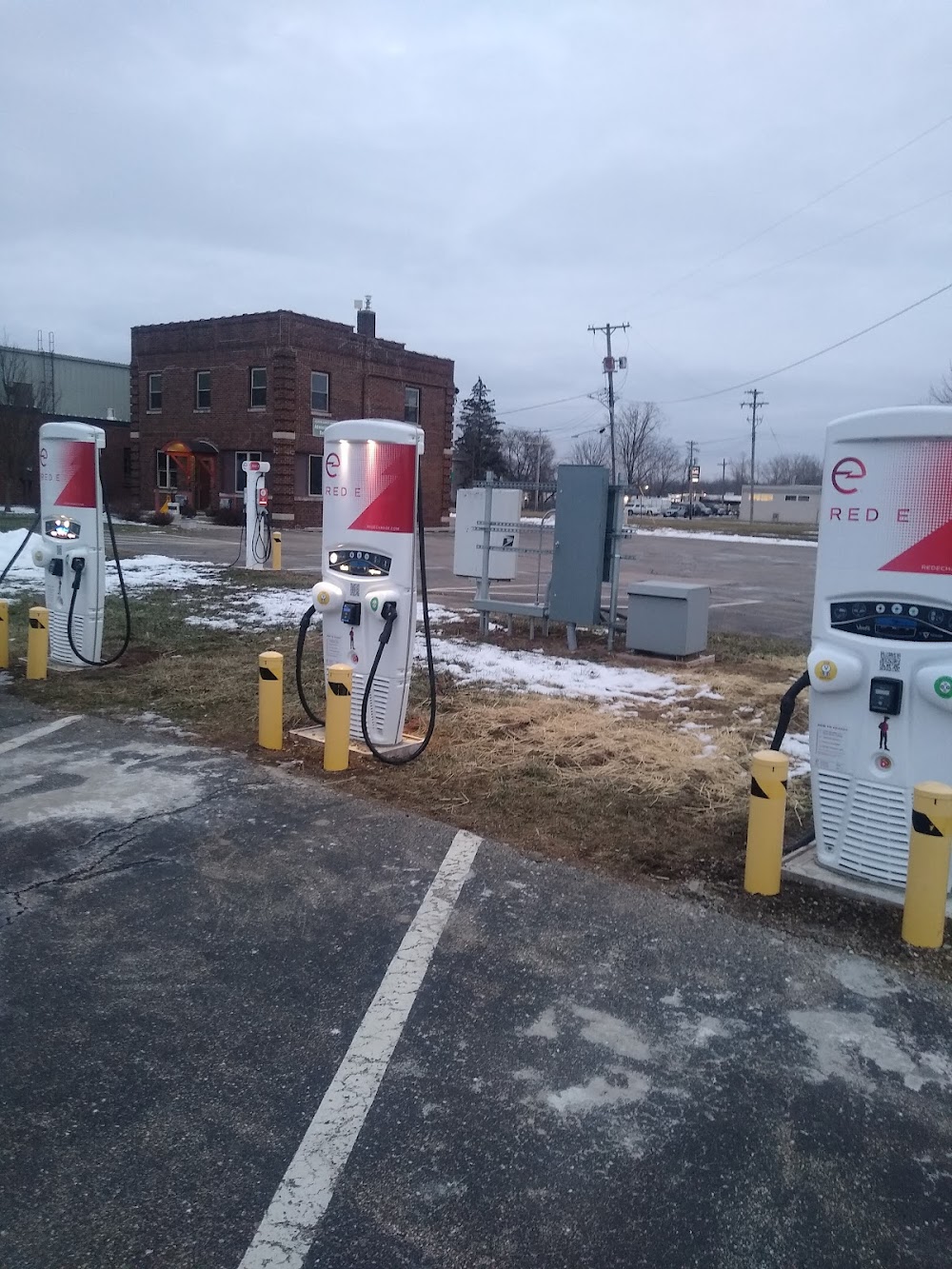
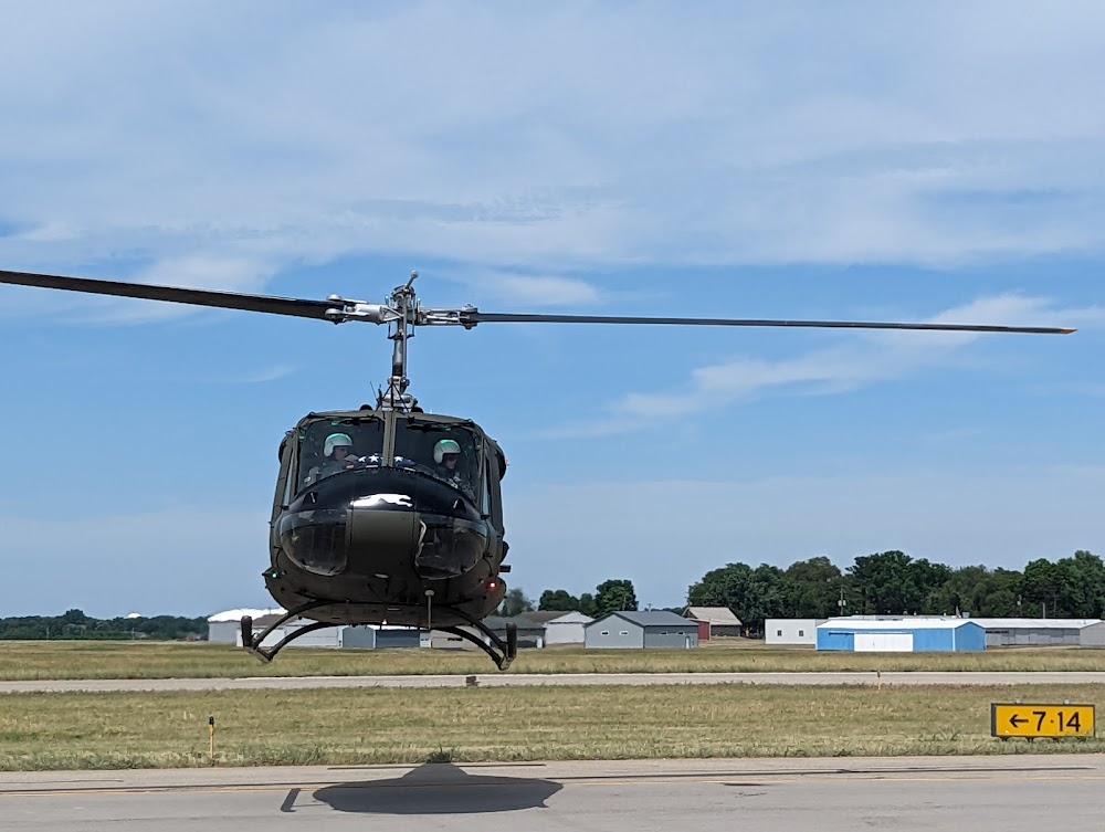
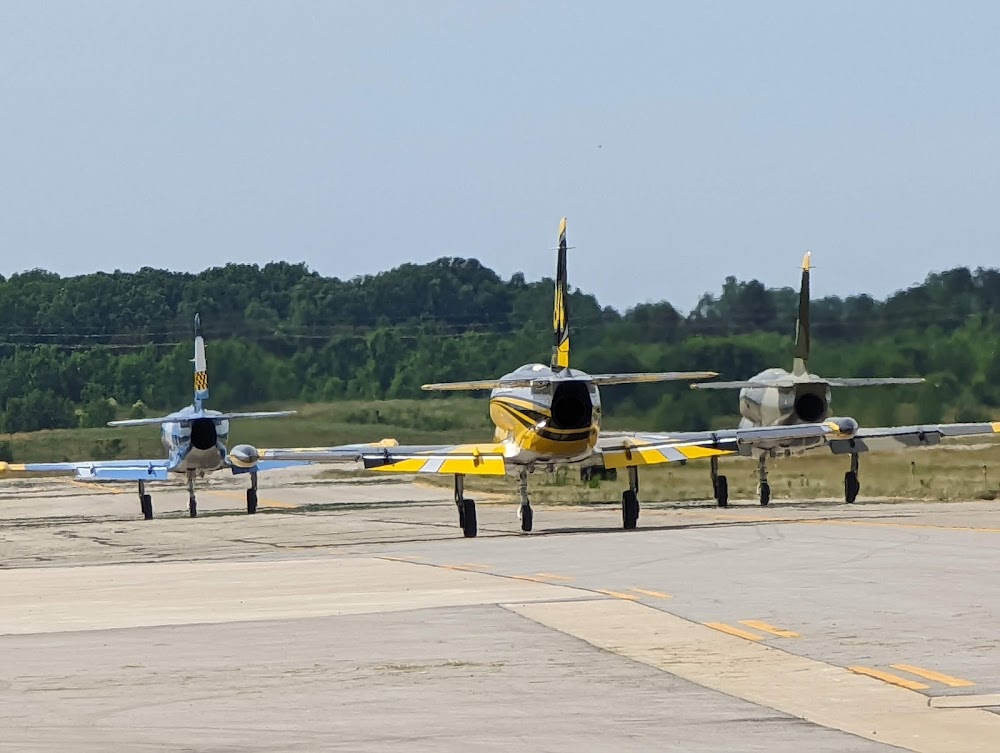
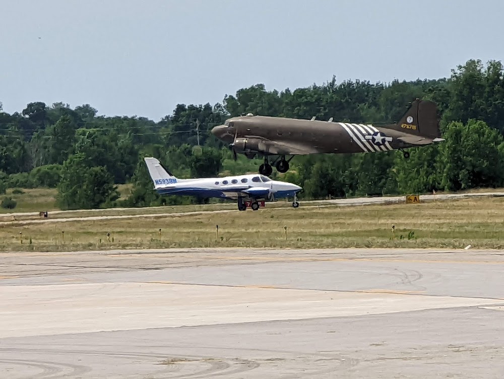
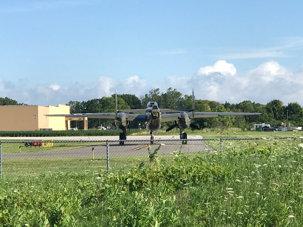
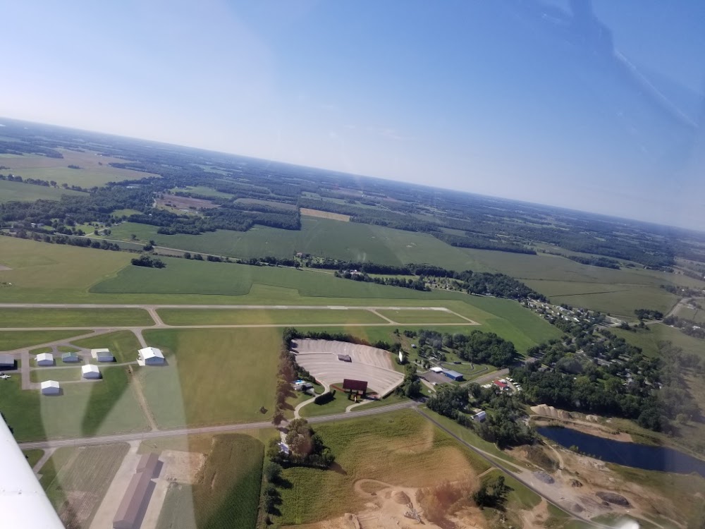
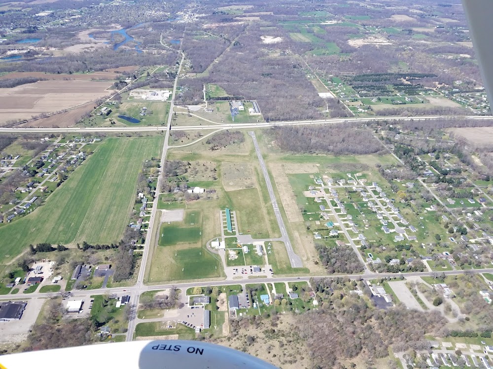
- Airport photos
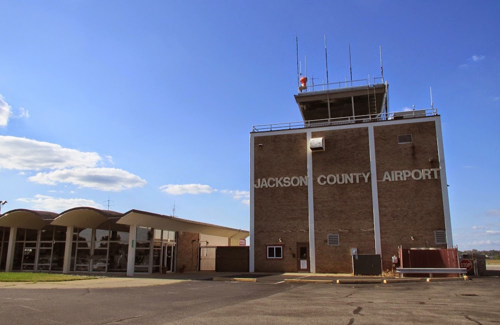
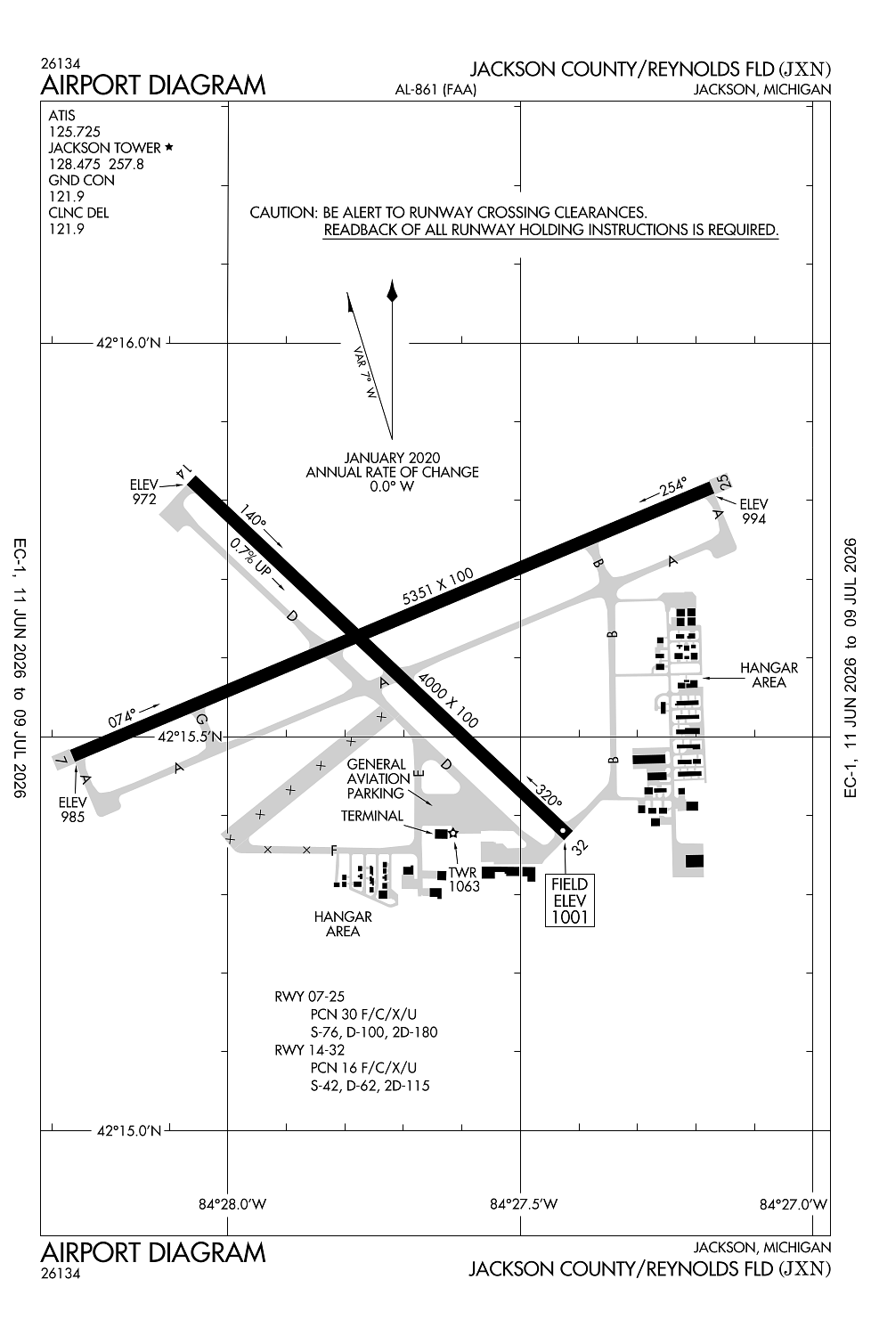
Location:
Jackson, MI
Elevation:
1,000ft
Sectional:
Detroit
Activation date:
Apr 1940
Fuel:
100LL, A+ (prices)
Runway 07/25:
5,351ft
Runway 14/32:
4,000ft
Access: Open to the public
Similar Airports
Current Weather — VFR
-
Weather data is strictly informational and not for flight planning purposes.
-
METAR2026-07-29 11:56:00 EDT
Ceiling: Sky clear Wind: 350° @ 7kt, gusts 18kt Temperature: 75°F Dewpoint: 53°F Weather: N/A Visbility: 10SM Raw:METAR KJXN 291556Z 35007G18KT 10SM CLR 24/12 A2999 RMK AO2 SLP151 T02390122 $ -
TAF2026-07-29 08:00:00 EDT – 2026-07-29 12:00:00 EDT
Ceiling: Sky clear Wind: 010° @ 3kt Weather: N/A Visbility: 6SM Clouds: @ ft Raw:TAF KJXN 291120Z 2912/3012 01003KT P6SM SKC FM291600 36010KT P6SM SCT050 FM300000 VRB04KT P6SM SKC -
TAF2026-07-29 12:00:00 EDT – 2026-07-29 20:00:00 EDT
Ceiling: Sky clear Wind: 360° @ 10kt Weather: N/A Visbility: 6SM Clouds: Scattered @ 5,000ft Raw:TAF KJXN 291120Z 2912/3012 01003KT P6SM SKC FM291600 36010KT P6SM SCT050 FM300000 VRB04KT P6SM SKC -
TAF2026-07-29 20:00:00 EDT – 2026-07-30 08:00:00 EDT
Ceiling: Sky clear Wind: Variable Weather: N/A Visbility: 6SM Clouds: @ ft Raw:TAF KJXN 291120Z 2912/3012 01003KT P6SM SKC FM291600 36010KT P6SM SCT050 FM300000 VRB04KT P6SM SKC
Click/tap to add an annotation marker to the map
No webcams added yet.
Remarks
- Prvdd sfc aproply mkd; if used at ngt rwy aproply lgtd inclg edge lgts; clear far part 77 20:1 apch sfcs to both rwy ends; 300 ft & assocd edge rwy safety areas prvdd; hold short lines painted on all adj twys; area byd each thr mkd as twys not dsplcd thrs; thr coords & elevs prvdd to agl-200.
- Deer & lrg birds on & invof arpt.
- Low alt hel ops prohibited invof prison 4 mi ne.
- Winter ficons unmon when atct clsd.
- Acft taxiing up twy d could possly miss the turn for twy a & violate the safety zone for rwy 07/25.
Comments