Pirep is a free, collaborative database of all public and private airports. All pilots are welcome to contribute their local knowledge to any airport, no registration required.

No upcoming events. Is anything happening here soon?
Last updated: 2024-02-25 23:51:36 CST
Airport Statistics
- WiFi availability
- General description
- Transient parking location
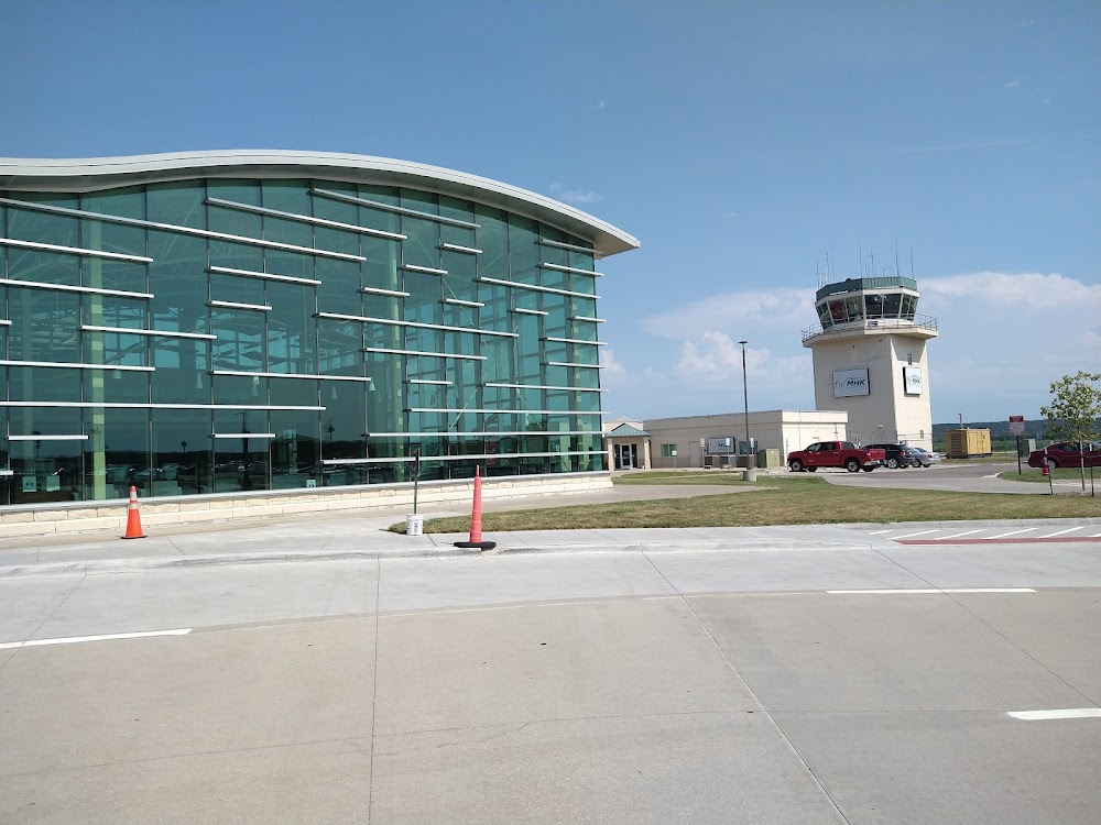
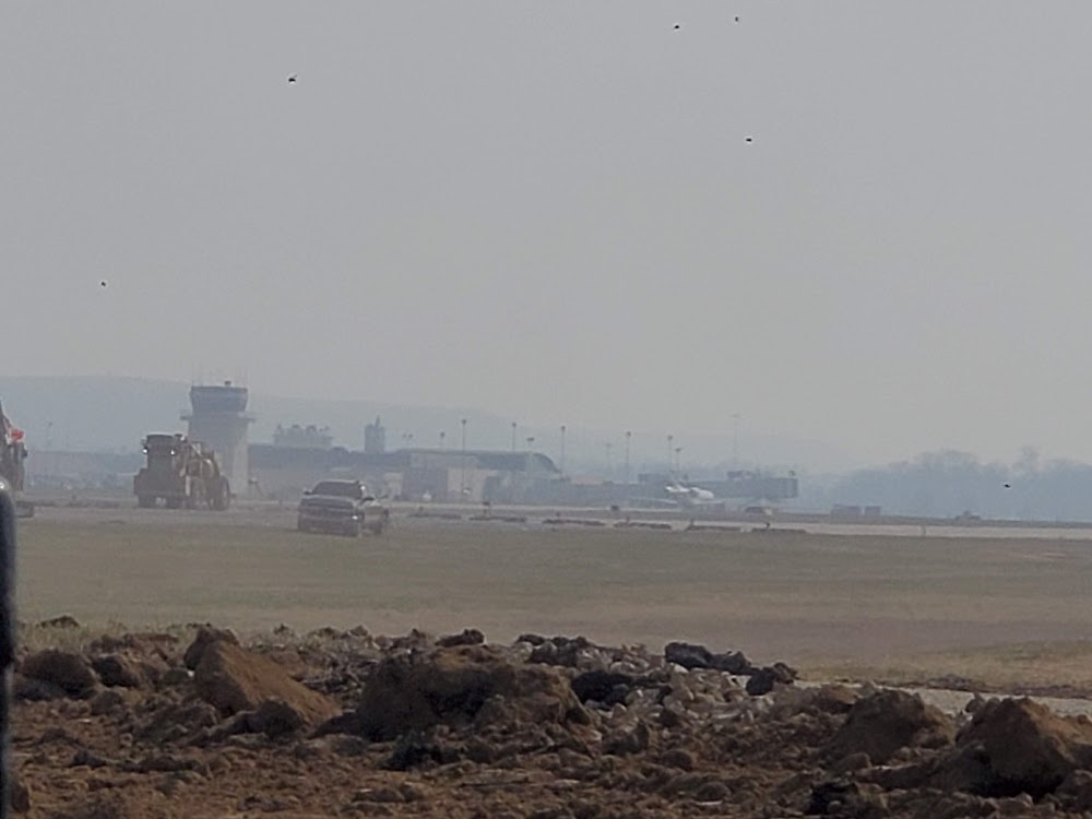
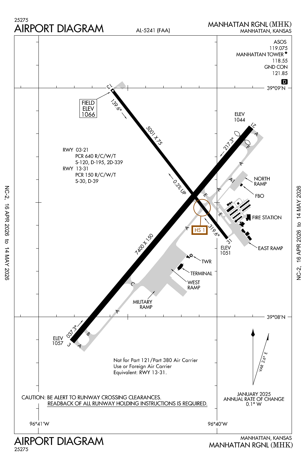
Location:
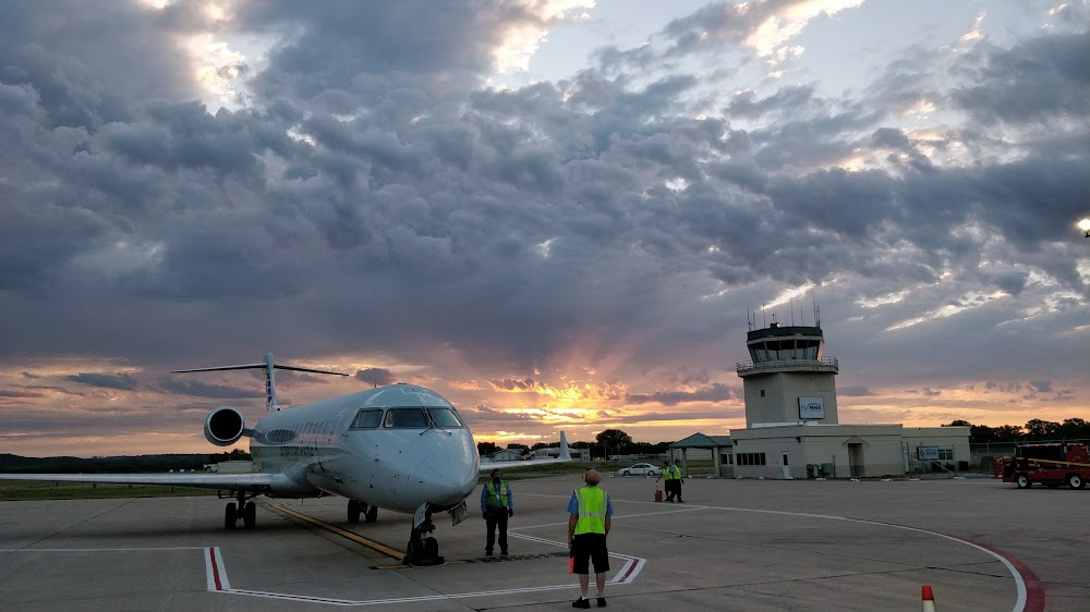
Manhattan, KS
Elevation:
1,066ft
Sectional:
Kansas City
Activation date:
Apr 1940
Fuel:
100LL, A (prices)
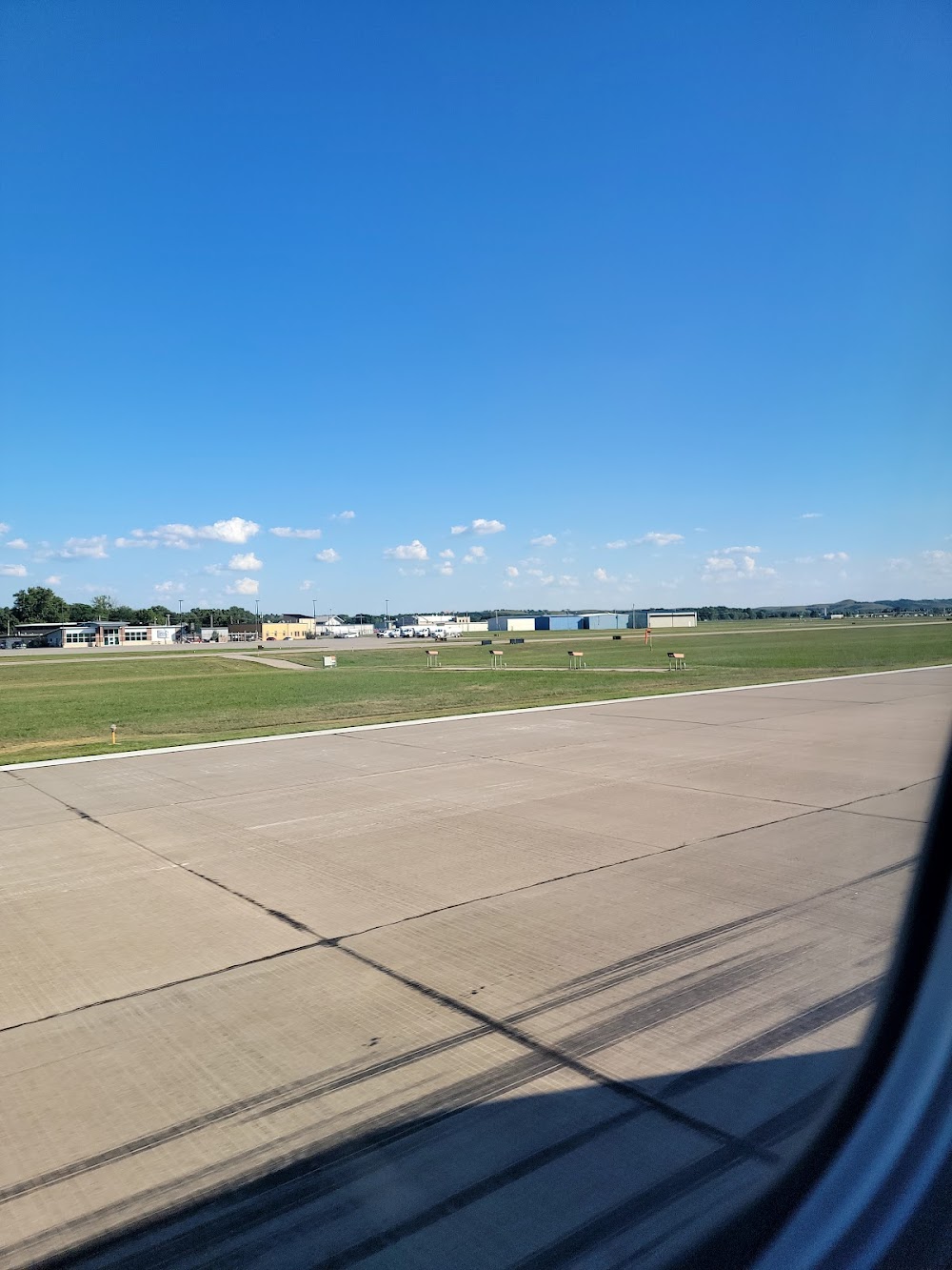
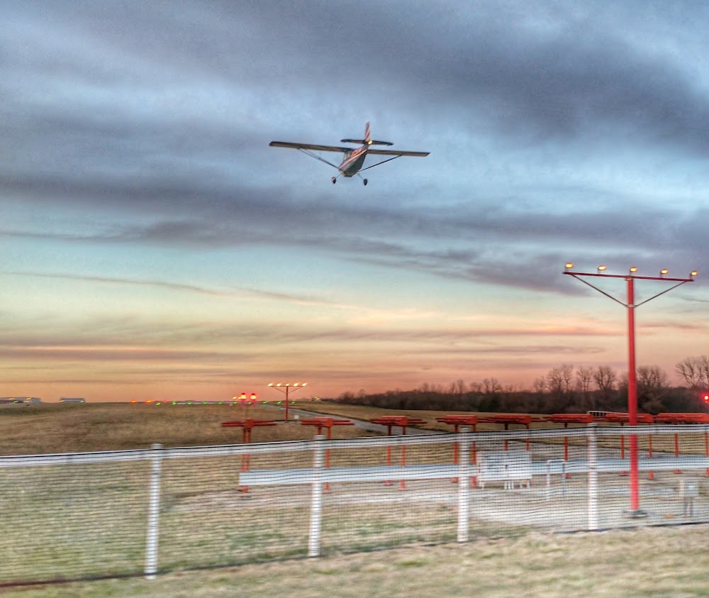
Runway 03/21:
7,400ft
Runway 13/31:
5,001ft
Access: Open to the public
Similar Airports

Current Weather — VFR
-
Weather data is strictly informational and not for flight planning purposes.
-
METAR2026-05-17 07:52:00 CDT
Ceiling: 4,700ft Wind: 150° @ 13kt, gusts 19kt Temperature: 69°F Dewpoint: 62°F Weather: N/A Visbility: 10SM Clouds: Overcast @ 4,700ft Raw:METAR KMHK 171252Z AUTO 15013G19KT 10SM OVC047 21/17 A2963 RMK AO2 SLP022 T02060172 -
TAF2026-05-17 07:00:00 CDT – 2026-05-17 08:00:00 CDT
Ceiling: Sky clear Wind: 130° @ 8kt Weather: N/A Visbility: 6SM Clouds: Scattered @ 4,000ft Raw:TAF KMHK 171120Z 1712/1812 13008KT P6SM SCT040 FM171300 16018G32KT P6SM SKC FM171800 19026G40KT P6SM FEW040 -
TAF2026-05-17 08:00:00 CDT – 2026-05-17 13:00:00 CDT
Ceiling: Sky clear Wind: 160° @ 18kt, gusts 32kt Weather: N/A Visbility: 6SM Clouds: @ ft Raw:TAF KMHK 171120Z 1712/1812 13008KT P6SM SCT040 FM171300 16018G32KT P6SM SKC FM171800 19026G40KT P6SM FEW040 -
TAF2026-05-17 13:00:00 CDT – 2026-05-18 07:00:00 CDT
Ceiling: Sky clear Wind: 190° @ 26kt, gusts 40kt Weather: N/A Visbility: 6SM Clouds: Few @ 4,000ft Raw:TAF KMHK 171120Z 1712/1812 13008KT P6SM SCT040 FM171300 16018G32KT P6SM SKC FM171800 19026G40KT P6SM FEW040
Click/tap to add an annotation marker to the map
No webcams added yet.
Remarks
- Aft hr acr ops na 15 min bfr or aft sked arr or dep wo ppr to cfm; arff svc avbl bfr lndg or tkof - 785-587-4521.
- Rwy 13/31 na for sked acr ops gtr than 9 pax seats or unsked acr at least 31 pax seats.
- Index c equip avbl upon req.
- Nonstd atc minima applied to ifr high performance ops arr wi cfns of r-3602.
- Mil arpt 7 mi sw resembles this arpt.
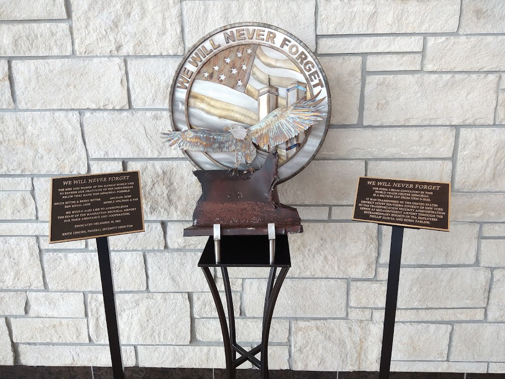
Comments