Pirep is a free, collaborative database of all public and private airports. All pilots are welcome to contribute their local knowledge to any airport, no registration required.


No upcoming events. Is anything happening here soon?
Last updated: 2023-06-12 22:21:45 EDT
Last updated: 2023-04-05 11:42:39 EDT
Last updated: 2023-04-05 11:42:39 EDT
Airport Statistics
- Webcam links
- Fuel pump location
- Local flying clubs
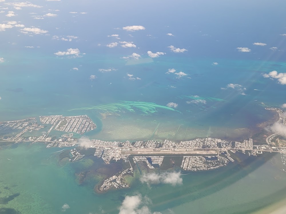
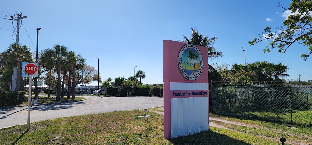
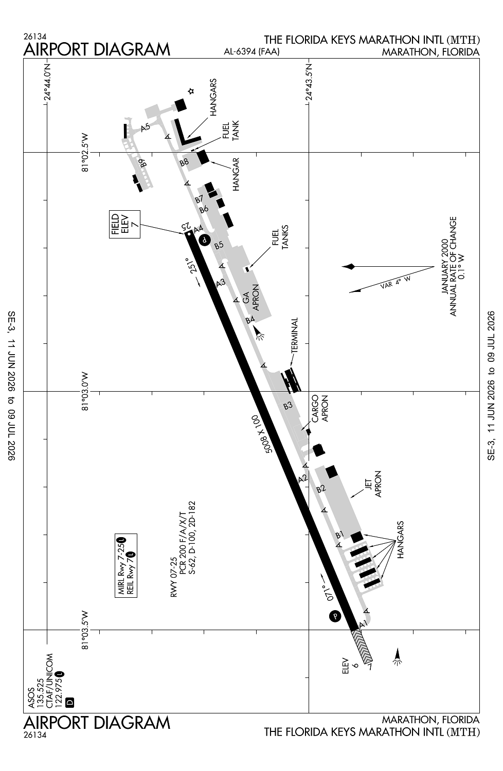
Location:
Marathon, FL
Elevation:
7ft
Sectional:
Miami
Activation date:
Mar 1944
Fuel:
100LL, A1+ (prices)
Runway 07/25:
5,008ft
Access: Open to the public
Similar Airports

Current Weather — VFR
-
Weather data is strictly informational and not for flight planning purposes.
-
METAR2026-07-29 00:53:00 EDT
Ceiling: 3,400ft Wind: 220° @ 3kt Temperature: 84°F Dewpoint: 75°F Weather: N/A Visbility: 10SM Clouds: Scattered @ 2,700ft, Broken @ 3,400ft Raw:METAR KMTH 290453Z AUTO 22003KT 10SM SCT027 BKN034 29/24 A2994 RMK AO2 SLP139 T02890244 403170250 -
TAF2026-07-29 02:00:00 EDT – 2026-07-30 02:00:00 EDT
Ceiling: Sky clear Wind: 230° @ 6kt Weather: N/A Visbility: 6SM Clouds: Few @ 3,000ft Raw:TAF KMTH 290530Z 2906/3006 23006KT P6SM FEW030
Click/tap to add an annotation marker to the map
No webcams added yet.
Remarks
- This airport has been surveyed by the national geodetic survey.
- Existed prior to 1959.
- 48 hr ppr for unsked part 121 ops with gtr than 30 pax seats.
- Noise sens area; use nbaa noise abatement proc; lcl ordinance rqr eng runup in dsgnd area on coml or fbo ramp fm 2300-0700 & fines.
- Birds on & invof arpt.
Comments