Pirep is a free, collaborative database of all public and private airports. All pilots are welcome to contribute their local knowledge to any airport, no registration required.


No upcoming events. Is anything happening here soon?
Last updated: 2024-05-01 19:48:38 EDT
Last updated: 2023-03-31 10:41:21 EDT
Last updated: 2023-12-12 02:04:25 EST
Airport Statistics
Location:
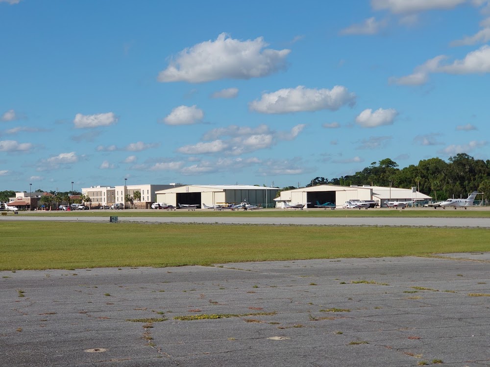
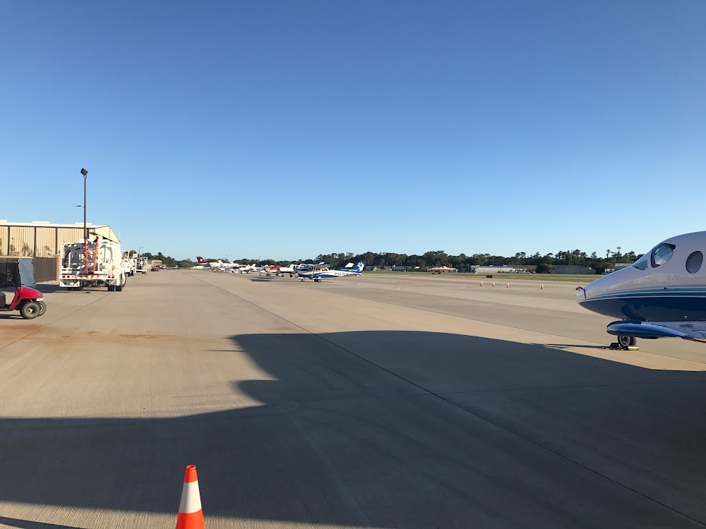
St Simons Island, GA
Elevation:
18ft
Sectional:
Jacksonville
Activation date:
Apr 1940
Fuel:
100LL, A, A+ (prices)
Runway 04/22:
5,584ft
Runway 16/34:
3,313ft
Access: Open to the public
Similar Airports
Current Weather — VFR
-
Weather data is strictly informational and not for flight planning purposes.
-
METAR2026-07-29 01:15:00 EDT
Ceiling: Sky clear Wind: 240° @ 11kt Temperature: 84°F Dewpoint: 77°F Weather: Haze Visbility: 6SM Raw:METAR KSSI 290515Z AUTO 24011KT 6SM HZ CLR 29/25 A2977 RMK AO2 -
TAF2026-07-29 02:00:00 EDT – 2026-07-29 10:00:00 EDT
Ceiling: 25,000ft Wind: 240° @ 11kt Weather: N/A Visbility: 6SM Clouds: Scattered @ 1,500ft, Broken @ 25,000ft Raw:TAF KSSI 290520Z 2906/3006 24011KT P6SM SCT015 BKN250 FM291400 24012G18KT P6SM SCT025 BKN250 FM291900 22013G20KT P6SM VCTS BKN050CB BKN100 PROB30 2920/3002 VRB20G30KT 2SM +TSRA BKN025CB FM300300 25010KT P6SM -SHRA VCTS SCT025CB BKN050 OVC150 -
TAF2026-07-29 10:00:00 EDT – 2026-07-29 15:00:00 EDT
Ceiling: 25,000ft Wind: 240° @ 12kt, gusts 18kt Weather: N/A Visbility: 6SM Clouds: Scattered @ 2,500ft, Broken @ 25,000ft Raw:TAF KSSI 290520Z 2906/3006 24011KT P6SM SCT015 BKN250 FM291400 24012G18KT P6SM SCT025 BKN250 FM291900 22013G20KT P6SM VCTS BKN050CB BKN100 PROB30 2920/3002 VRB20G30KT 2SM +TSRA BKN025CB FM300300 25010KT P6SM -SHRA VCTS SCT025CB BKN050 OVC150 -
TAF2026-07-29 15:00:00 EDT – 2026-07-29 23:00:00 EDT
Ceiling: 5,000ft Wind: 220° @ 13kt, gusts 20kt Weather: Thunderstorm in vicinity Visbility: 6SM Clouds: Broken @ 5,000ft, Broken @ 10,000ft Raw:TAF KSSI 290520Z 2906/3006 24011KT P6SM SCT015 BKN250 FM291400 24012G18KT P6SM SCT025 BKN250 FM291900 22013G20KT P6SM VCTS BKN050CB BKN100 PROB30 2920/3002 VRB20G30KT 2SM +TSRA BKN025CB FM300300 25010KT P6SM -SHRA VCTS SCT025CB BKN050 OVC150 -
TAF2026-07-29 16:00:00 EDT – 2026-07-29 22:00:00 EDT
Ceiling: 2,500ft Wind: Variable, gusts 30kt Weather: Heavy thunderstorm rain Visbility: 2SM Clouds: Broken @ 2,500ft Raw:TAF KSSI 290520Z 2906/3006 24011KT P6SM SCT015 BKN250 FM291400 24012G18KT P6SM SCT025 BKN250 FM291900 22013G20KT P6SM VCTS BKN050CB BKN100 PROB30 2920/3002 VRB20G30KT 2SM +TSRA BKN025CB FM300300 25010KT P6SM -SHRA VCTS SCT025CB BKN050 OVC150 -
TAF2026-07-29 23:00:00 EDT – 2026-07-30 02:00:00 EDT
Ceiling: 5,000ft Wind: 250° @ 10kt Weather: Light rain showers, thunderstorm in vicinity Visbility: 6SM Clouds: Scattered @ 2,500ft, Broken @ 5,000ft, Overcast @ 15,000ft Raw:TAF KSSI 290520Z 2906/3006 24011KT P6SM SCT015 BKN250 FM291400 24012G18KT P6SM SCT025 BKN250 FM291900 22013G20KT P6SM VCTS BKN050CB BKN100 PROB30 2920/3002 VRB20G30KT 2SM +TSRA BKN025CB FM300300 25010KT P6SM -SHRA VCTS SCT025CB BKN050 OVC150
Click/tap to add an annotation marker to the map
No webcams added yet.
Remarks
- Existed prior to 1959.
- Birds and wildlife on & invof arpt.
- Use ctn due to congested asp with turbine, nonturbine, and trng acft. bqk located 7nm nw. jekyll island ap 09j located 4nm s using same ctaf freq 123.05.
- Rwy 22 pref for light and vrb winds or crosswinds.
- Extsv trng and light acft ops poss rwy 16.
- All vfr acft adhere to std lh tfc pat.
- Acft departing rwy 34 use extrm ctn- apch end of rwy 04 not vsb from apch end of rwy 34.
- All arrivals and departures, including acft flying inst approaches, are reqstd to rprt 10 miles from the ap, intns and psn reports to -st simons- ctaf 123.05.
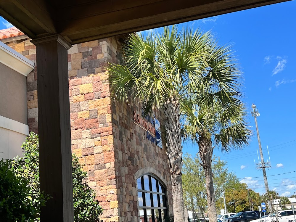
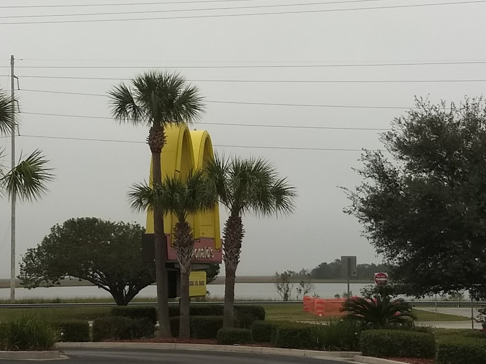
Southern Soul BBQ (http://www.southernsoulbbq.com/) is a 5-minute walk from the FBO, and a great place to stop. If you have longer, grab a crew car and head in to downtown St. Simons. There are a variety of restaurants, and it’s also nice to walk along the water and check out the lighthouse.