Pirep is a free, collaborative database of all public and private airports. All pilots are welcome to contribute their local knowledge to any airport, no registration required.
No upcoming events. Is anything happening here soon?
Last updated: 2024-02-07 21:35:49 CST
Airport Statistics
- Fuel pump location
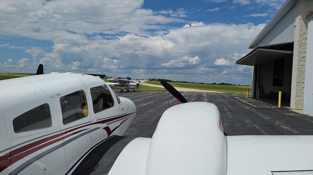
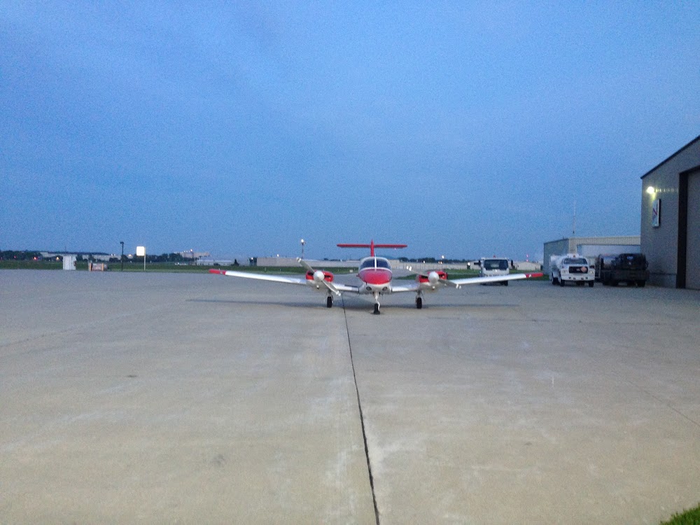
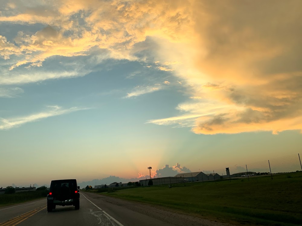
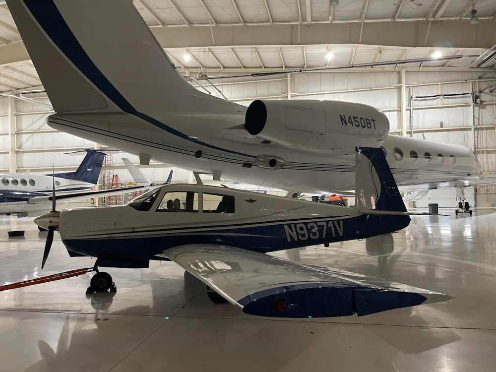
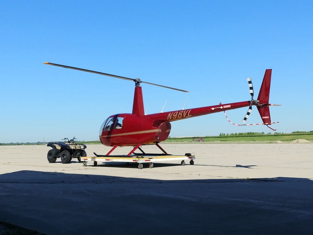
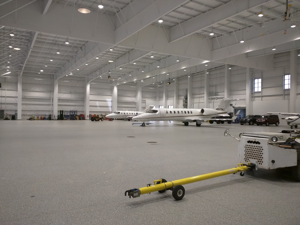
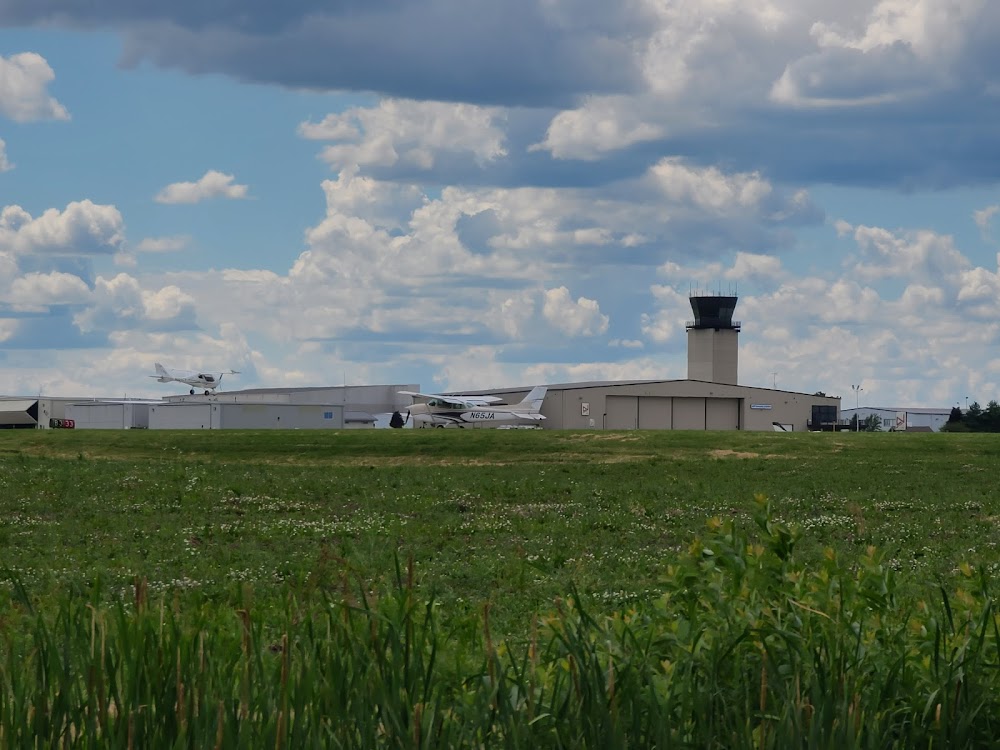
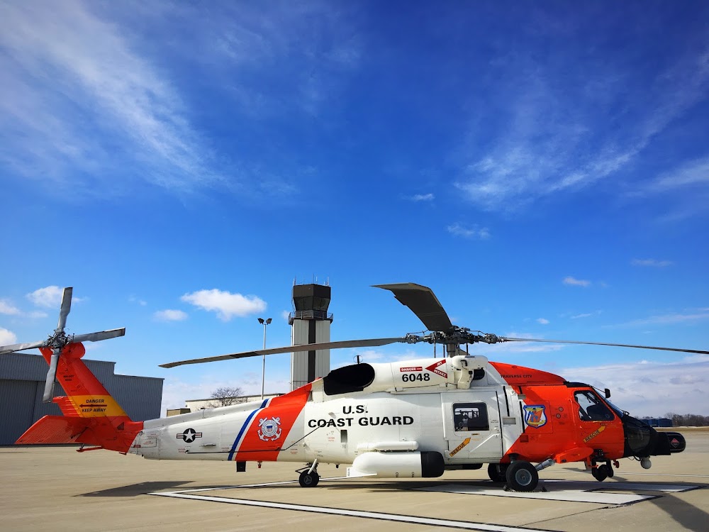
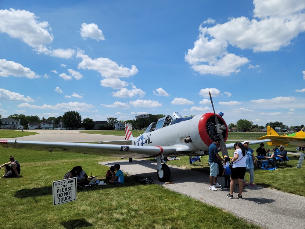
- Airport photos
- Webcam links
Location:
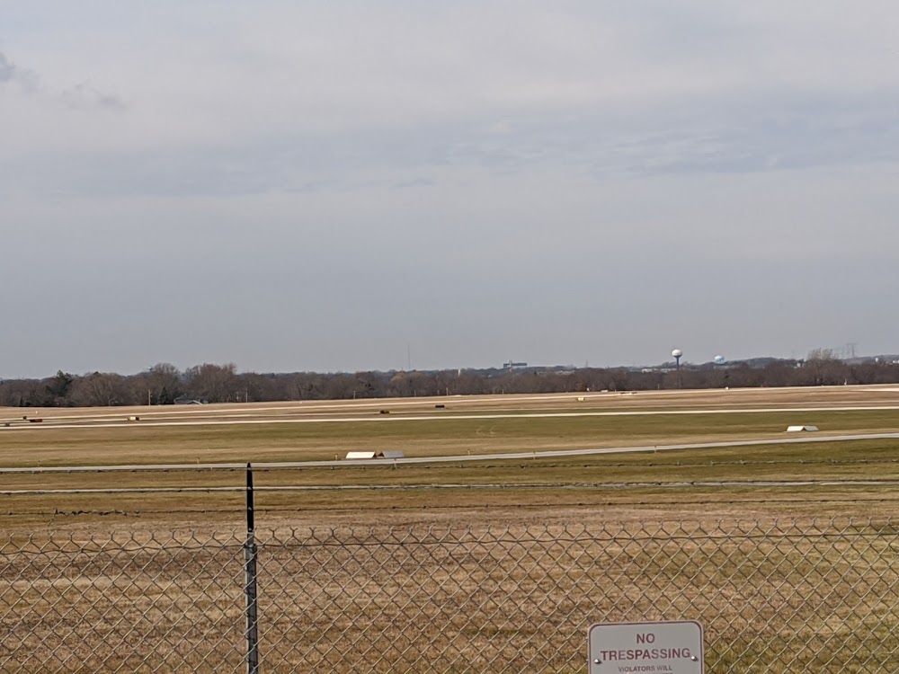
Kenosha, WI
Elevation:
742ft
Sectional:
Chicago
Activation date:
May 1959
Fuel:
100LL, A+ (prices)
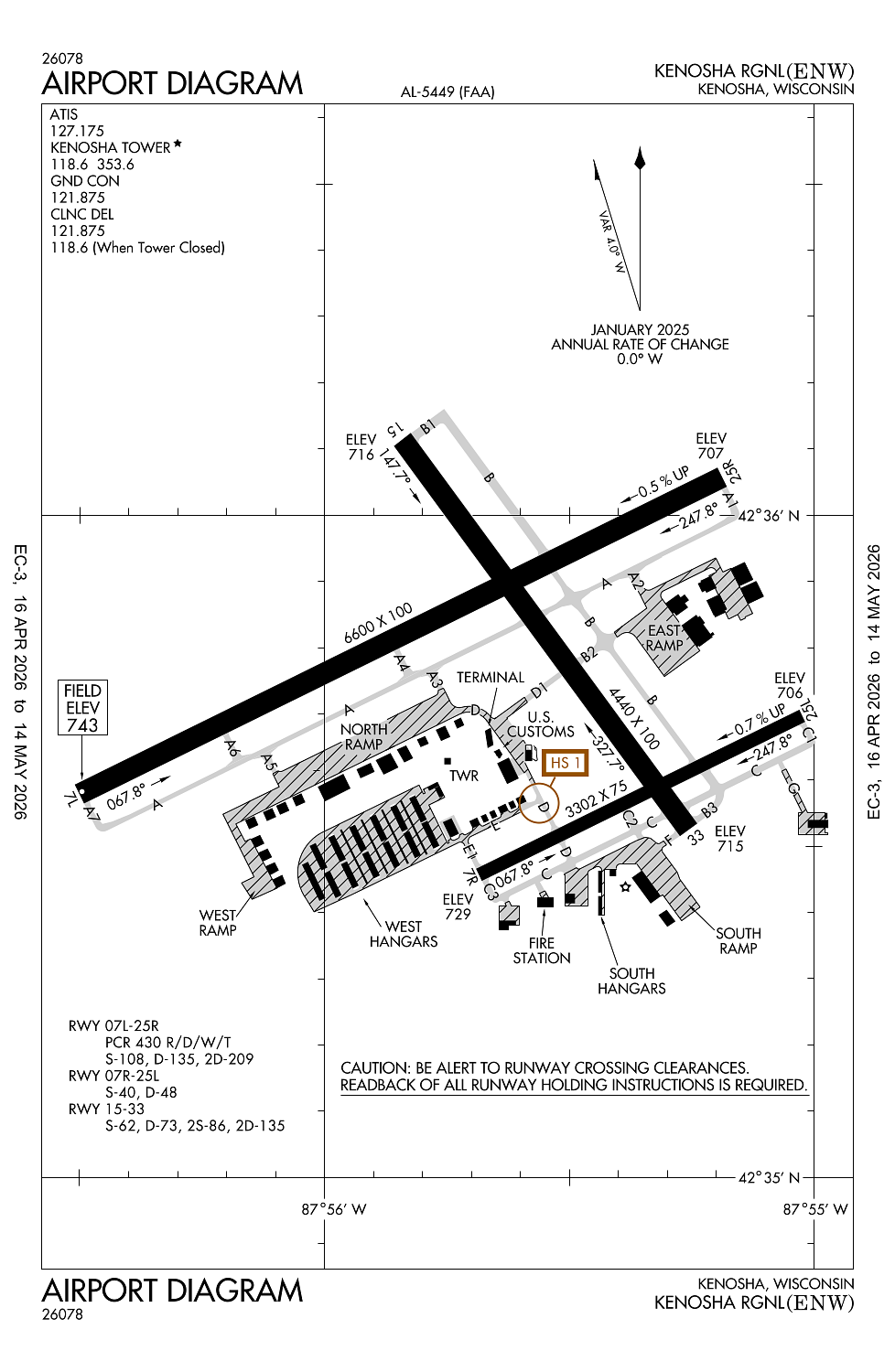
Runway 07L/25R:
6,600ft
Runway 15/33:
4,440ft
Runway 07R/25L:
3,302ft
Access: Open to the public
Similar Airports
Current Weather — VFR
-
Weather data is strictly informational and not for flight planning purposes.
-
METAR2026-05-17 21:53:00 CDT
Ceiling: Sky clear Wind: 130° @ 5kt Temperature: 60°F Dewpoint: 53°F Weather: N/A Visbility: 10SM Raw:METAR KENW 180253Z AUTO 13005KT 10SM CLR 16/12 A2983 RMK AO2 SLP100 T01560117 53005 $ -
TAF2026-05-17 19:00:00 CDT – 2026-05-17 21:00:00 CDT
Ceiling: 20,000ft Wind: Variable Weather: N/A Visbility: 6SM Clouds: Scattered @ 7,000ft, Broken @ 20,000ft Raw:TAF KENW 180022Z 1800/1824 VRB06KT P6SM SCT070 BKN200 FM180200 17009KT P6SM SCT060 FM180400 18011KT P6SM SCT180 WS020/22040KT FM180900 20012G21KT P6SM SCT210 WS020/22040KT PROB30 1811/1812 4SM TSRA OVC025CB FM181200 20010G20KT 6SM -SHRA BKN090 PROB30 1812/1817 4SM TSRA OVC025CB FM181700 20014G22KT P6SM BKN070 PROB30 1817/1821 4SM TSRA OVC025CB -
TAF2026-05-17 21:00:00 CDT – 2026-05-17 23:00:00 CDT
Ceiling: Sky clear Wind: 170° @ 9kt Weather: N/A Visbility: 6SM Clouds: Scattered @ 6,000ft Raw:TAF KENW 180022Z 1800/1824 VRB06KT P6SM SCT070 BKN200 FM180200 17009KT P6SM SCT060 FM180400 18011KT P6SM SCT180 WS020/22040KT FM180900 20012G21KT P6SM SCT210 WS020/22040KT PROB30 1811/1812 4SM TSRA OVC025CB FM181200 20010G20KT 6SM -SHRA BKN090 PROB30 1812/1817 4SM TSRA OVC025CB FM181700 20014G22KT P6SM BKN070 PROB30 1817/1821 4SM TSRA OVC025CB -
TAF2026-05-17 23:00:00 CDT – 2026-05-18 04:00:00 CDT
Ceiling: Sky clear Wind: 180° @ 11kt Weather: N/A Visbility: 6SM Clouds: Scattered @ 18,000ft Raw:TAF KENW 180022Z 1800/1824 VRB06KT P6SM SCT070 BKN200 FM180200 17009KT P6SM SCT060 FM180400 18011KT P6SM SCT180 WS020/22040KT FM180900 20012G21KT P6SM SCT210 WS020/22040KT PROB30 1811/1812 4SM TSRA OVC025CB FM181200 20010G20KT 6SM -SHRA BKN090 PROB30 1812/1817 4SM TSRA OVC025CB FM181700 20014G22KT P6SM BKN070 PROB30 1817/1821 4SM TSRA OVC025CB -
TAF2026-05-18 04:00:00 CDT – 2026-05-18 07:00:00 CDT
Ceiling: Sky clear Wind: 200° @ 12kt, gusts 21kt Weather: N/A Visbility: 6SM Clouds: Scattered @ 21,000ft Raw:TAF KENW 180022Z 1800/1824 VRB06KT P6SM SCT070 BKN200 FM180200 17009KT P6SM SCT060 FM180400 18011KT P6SM SCT180 WS020/22040KT FM180900 20012G21KT P6SM SCT210 WS020/22040KT PROB30 1811/1812 4SM TSRA OVC025CB FM181200 20010G20KT 6SM -SHRA BKN090 PROB30 1812/1817 4SM TSRA OVC025CB FM181700 20014G22KT P6SM BKN070 PROB30 1817/1821 4SM TSRA OVC025CB -
TAF2026-05-18 06:00:00 CDT – 2026-05-18 07:00:00 CDT
Ceiling: 2,500ft Wind: 000° @ kt Weather: Thunderstorm rain Visbility: 4SM Clouds: Overcast @ 2,500ft Raw:TAF KENW 180022Z 1800/1824 VRB06KT P6SM SCT070 BKN200 FM180200 17009KT P6SM SCT060 FM180400 18011KT P6SM SCT180 WS020/22040KT FM180900 20012G21KT P6SM SCT210 WS020/22040KT PROB30 1811/1812 4SM TSRA OVC025CB FM181200 20010G20KT 6SM -SHRA BKN090 PROB30 1812/1817 4SM TSRA OVC025CB FM181700 20014G22KT P6SM BKN070 PROB30 1817/1821 4SM TSRA OVC025CB -
TAF2026-05-18 07:00:00 CDT – 2026-05-18 12:00:00 CDT
Ceiling: 9,000ft Wind: 200° @ 10kt, gusts 20kt Weather: Light rain showers Visbility: 6SM Clouds: Broken @ 9,000ft Raw:TAF KENW 180022Z 1800/1824 VRB06KT P6SM SCT070 BKN200 FM180200 17009KT P6SM SCT060 FM180400 18011KT P6SM SCT180 WS020/22040KT FM180900 20012G21KT P6SM SCT210 WS020/22040KT PROB30 1811/1812 4SM TSRA OVC025CB FM181200 20010G20KT 6SM -SHRA BKN090 PROB30 1812/1817 4SM TSRA OVC025CB FM181700 20014G22KT P6SM BKN070 PROB30 1817/1821 4SM TSRA OVC025CB -
TAF2026-05-18 07:00:00 CDT – 2026-05-18 12:00:00 CDT
Ceiling: 2,500ft Wind: 000° @ kt Weather: Thunderstorm rain Visbility: 4SM Clouds: Overcast @ 2,500ft Raw:TAF KENW 180022Z 1800/1824 VRB06KT P6SM SCT070 BKN200 FM180200 17009KT P6SM SCT060 FM180400 18011KT P6SM SCT180 WS020/22040KT FM180900 20012G21KT P6SM SCT210 WS020/22040KT PROB30 1811/1812 4SM TSRA OVC025CB FM181200 20010G20KT 6SM -SHRA BKN090 PROB30 1812/1817 4SM TSRA OVC025CB FM181700 20014G22KT P6SM BKN070 PROB30 1817/1821 4SM TSRA OVC025CB -
TAF2026-05-18 12:00:00 CDT – 2026-05-18 19:00:00 CDT
Ceiling: 7,000ft Wind: 200° @ 14kt, gusts 22kt Weather: N/A Visbility: 6SM Clouds: Broken @ 7,000ft Raw:TAF KENW 180022Z 1800/1824 VRB06KT P6SM SCT070 BKN200 FM180200 17009KT P6SM SCT060 FM180400 18011KT P6SM SCT180 WS020/22040KT FM180900 20012G21KT P6SM SCT210 WS020/22040KT PROB30 1811/1812 4SM TSRA OVC025CB FM181200 20010G20KT 6SM -SHRA BKN090 PROB30 1812/1817 4SM TSRA OVC025CB FM181700 20014G22KT P6SM BKN070 PROB30 1817/1821 4SM TSRA OVC025CB -
TAF2026-05-18 12:00:00 CDT – 2026-05-18 16:00:00 CDT
Ceiling: 2,500ft Wind: 000° @ kt Weather: Thunderstorm rain Visbility: 4SM Clouds: Overcast @ 2,500ft Raw:TAF KENW 180022Z 1800/1824 VRB06KT P6SM SCT070 BKN200 FM180200 17009KT P6SM SCT060 FM180400 18011KT P6SM SCT180 WS020/22040KT FM180900 20012G21KT P6SM SCT210 WS020/22040KT PROB30 1811/1812 4SM TSRA OVC025CB FM181200 20010G20KT 6SM -SHRA BKN090 PROB30 1812/1817 4SM TSRA OVC025CB FM181700 20014G22KT P6SM BKN070 PROB30 1817/1821 4SM TSRA OVC025CB
Click/tap to add an annotation marker to the map
No webcams added yet.
Remarks
- Birds on & invof arpt.
- Helicopter dep & arr ops will be auth by atc fm movement areas only. non-movement area deps, arrs & practice, are prohibited.
- Acft weighing more than 122,000 lbs, empty or fully loaded, are not allowed to be based at kenw. the term based shall be defined as an acft that is opr & airworthy on the arpt for a majority of the year.
- When atct clsd, hirl rwy 07l/25r preset on low intst; to incr intst & actvt malsr rwy 07l; reil rwy 25r; papi rwy 07l, 07r, 25l & 25r; hirl rwy 07l/25r; hirl rwy 15/33; mirl rwy 07r/25l - ctaf. vasi rwy 15 & 33 oprs consly.
- Clsd to jet acft & acft weighing more than 12500 lbs when rwy 07l/25r is open.
Comments