Pirep is a free, collaborative database of all public and private airports. All pilots are welcome to contribute their local knowledge to any airport, no registration required.


Upcoming Events
-
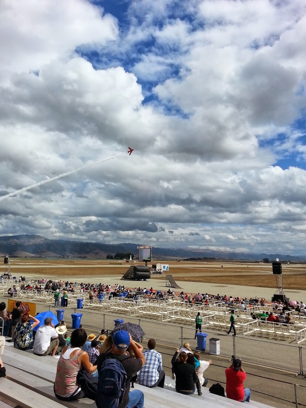
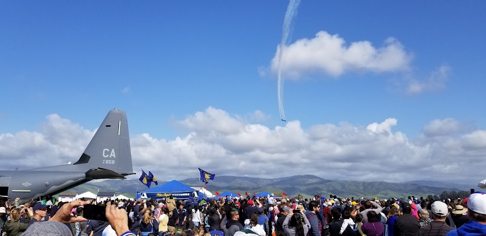
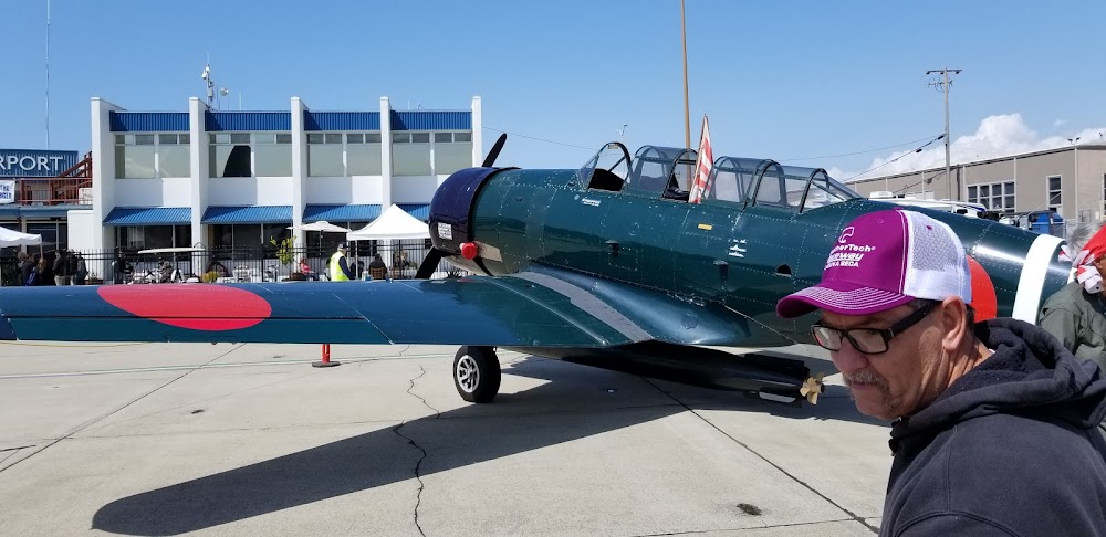
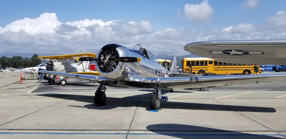
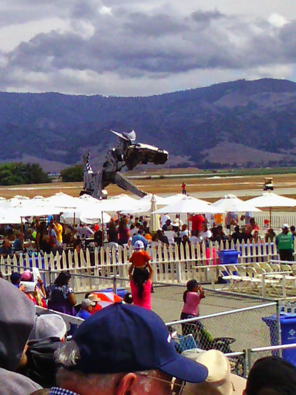
Sat, Sep 26 2026 9:00am – Sun, Sep 27 2026 5:00pm
- Event webpage: https://www.salinasairshow.com
Last updated: 2023-05-31 19:30:01 PDT
Airport Statistics
- Crew car availability
- Transient parking location
- Webcam links
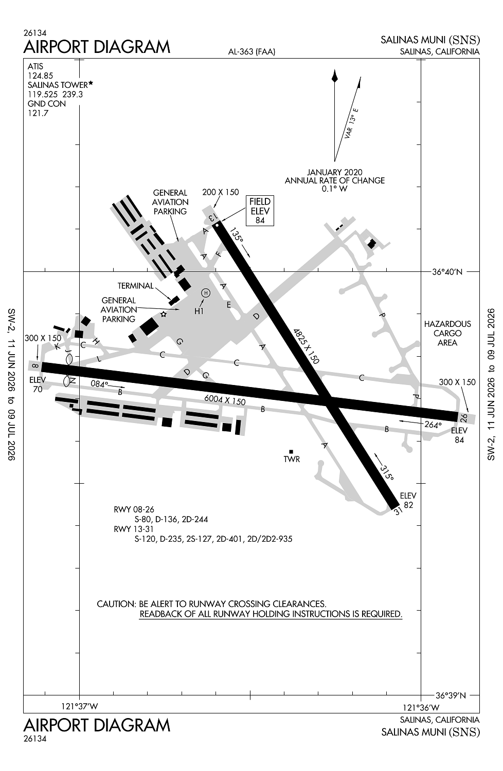
Location:
Salinas, CA
Elevation:
84ft
Sectional:
San Francisco
Activation date:
Jun 1942
Fuel:
100LL, A (prices)
Runway 08/26:
6,004ft
Runway 13/31:
4,825ft
Runway H1:
90ft
Access: Open to the public
Similar Airports

Current Weather — VFR
-
Weather data is strictly informational and not for flight planning purposes.
-
METAR2026-07-28 22:53:00 PDT
Ceiling: Sky clear Wind: 310° @ 6kt Temperature: 60°F Dewpoint: 55°F Weather: N/A Visbility: 10SM Raw:METAR KSNS 290553Z AUTO 31006KT 10SM CLR 16/13 A2993 RMK AO2 SLP143 T01610133 10194 20161 53002 -
TAF2026-07-28 23:00:00 PDT – 2026-07-29 02:00:00 PDT
Ceiling: Sky clear Wind: 280° @ 10kt Weather: N/A Visbility: 6SM Clouds: Few @ 1,500ft Raw:TAF KSNS 290520Z 2906/3006 28010KT P6SM FEW015 FM290900 25005KT P6SM BKN010 FM291300 25004KT 6SM BR OVC007 FM291700 28010KT P6SM FEW015 FM292000 28012G20KT P6SM SKC FM300200 30010KT P6SM SKC -
TAF2026-07-29 02:00:00 PDT – 2026-07-29 06:00:00 PDT
Ceiling: 1,000ft Wind: 250° @ 5kt Weather: N/A Visbility: 6SM Clouds: Broken @ 1,000ft Raw:TAF KSNS 290520Z 2906/3006 28010KT P6SM FEW015 FM290900 25005KT P6SM BKN010 FM291300 25004KT 6SM BR OVC007 FM291700 28010KT P6SM FEW015 FM292000 28012G20KT P6SM SKC FM300200 30010KT P6SM SKC -
TAF2026-07-29 06:00:00 PDT – 2026-07-29 10:00:00 PDT
Ceiling: 700ft Wind: 250° @ 4kt Weather: Mist Visbility: 6SM Clouds: Overcast @ 700ft Raw:TAF KSNS 290520Z 2906/3006 28010KT P6SM FEW015 FM290900 25005KT P6SM BKN010 FM291300 25004KT 6SM BR OVC007 FM291700 28010KT P6SM FEW015 FM292000 28012G20KT P6SM SKC FM300200 30010KT P6SM SKC -
TAF2026-07-29 10:00:00 PDT – 2026-07-29 13:00:00 PDT
Ceiling: Sky clear Wind: 280° @ 10kt Weather: N/A Visbility: 6SM Clouds: Few @ 1,500ft Raw:TAF KSNS 290520Z 2906/3006 28010KT P6SM FEW015 FM290900 25005KT P6SM BKN010 FM291300 25004KT 6SM BR OVC007 FM291700 28010KT P6SM FEW015 FM292000 28012G20KT P6SM SKC FM300200 30010KT P6SM SKC -
TAF2026-07-29 13:00:00 PDT – 2026-07-29 19:00:00 PDT
Ceiling: Sky clear Wind: 280° @ 12kt, gusts 20kt Weather: N/A Visbility: 6SM Clouds: @ ft Raw:TAF KSNS 290520Z 2906/3006 28010KT P6SM FEW015 FM290900 25005KT P6SM BKN010 FM291300 25004KT 6SM BR OVC007 FM291700 28010KT P6SM FEW015 FM292000 28012G20KT P6SM SKC FM300200 30010KT P6SM SKC -
TAF2026-07-29 19:00:00 PDT – 2026-07-29 23:00:00 PDT
Ceiling: Sky clear Wind: 300° @ 10kt Weather: N/A Visbility: 6SM Clouds: @ ft Raw:TAF KSNS 290520Z 2906/3006 28010KT P6SM FEW015 FM290900 25005KT P6SM BKN010 FM291300 25004KT 6SM BR OVC007 FM291700 28010KT P6SM FEW015 FM292000 28012G20KT P6SM SKC FM300200 30010KT P6SM SKC
Click/tap to add an annotation marker to the map
No webcams added yet.
Remarks
- Portions of twy b between d & n limited atct services provided
- 6 ft tall security fence 400 ft prior to ry 13 thld on cntrln and steeply descending terrain 350 ft prior to ry 31 thld on cntrln both in ry 13/31 safety area.
- For cd when atct is clsd ctc norcal apch at 916-361-3748.
- When atct clsd actvt malsr rwy 31; reil rwy 13 & 26; papi rwy 31; hirl rwy 13/31; mirl rwy 08/26; h1 - ctaf. vasi rwy 08, 13, & 26 opr consly.
- 200 ft asph stwy ry 31.
Comments