Pirep is a free, collaborative database of all public and private airports. All pilots are welcome to contribute their local knowledge to any airport, no registration required.


No upcoming events. Is anything happening here soon?
Last updated: 2023-11-26 17:51:20 CST
Last updated: 2023-11-26 17:51:20 CST
Airport Statistics
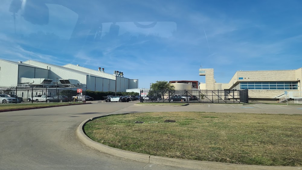
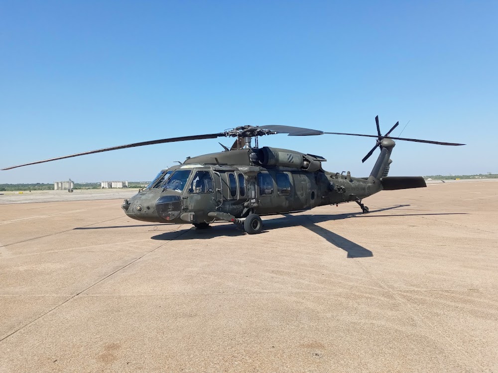
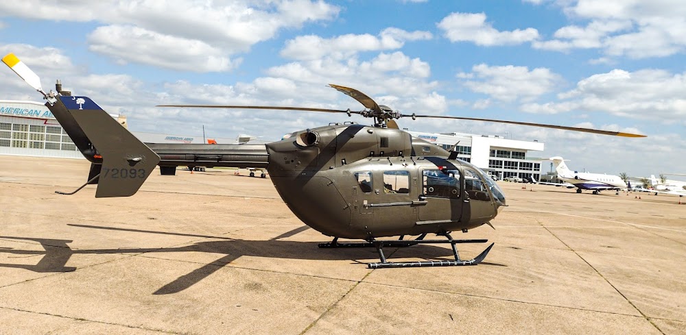
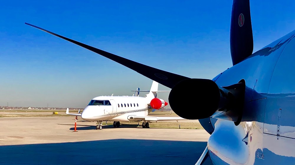
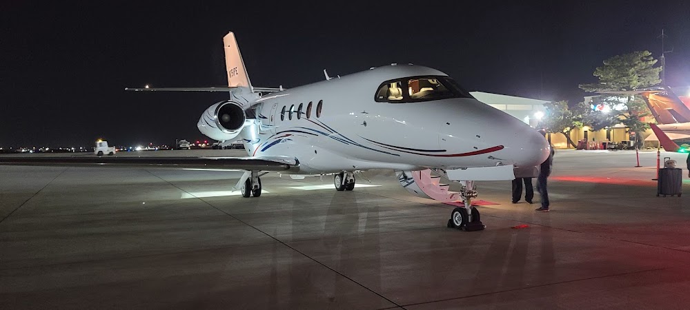
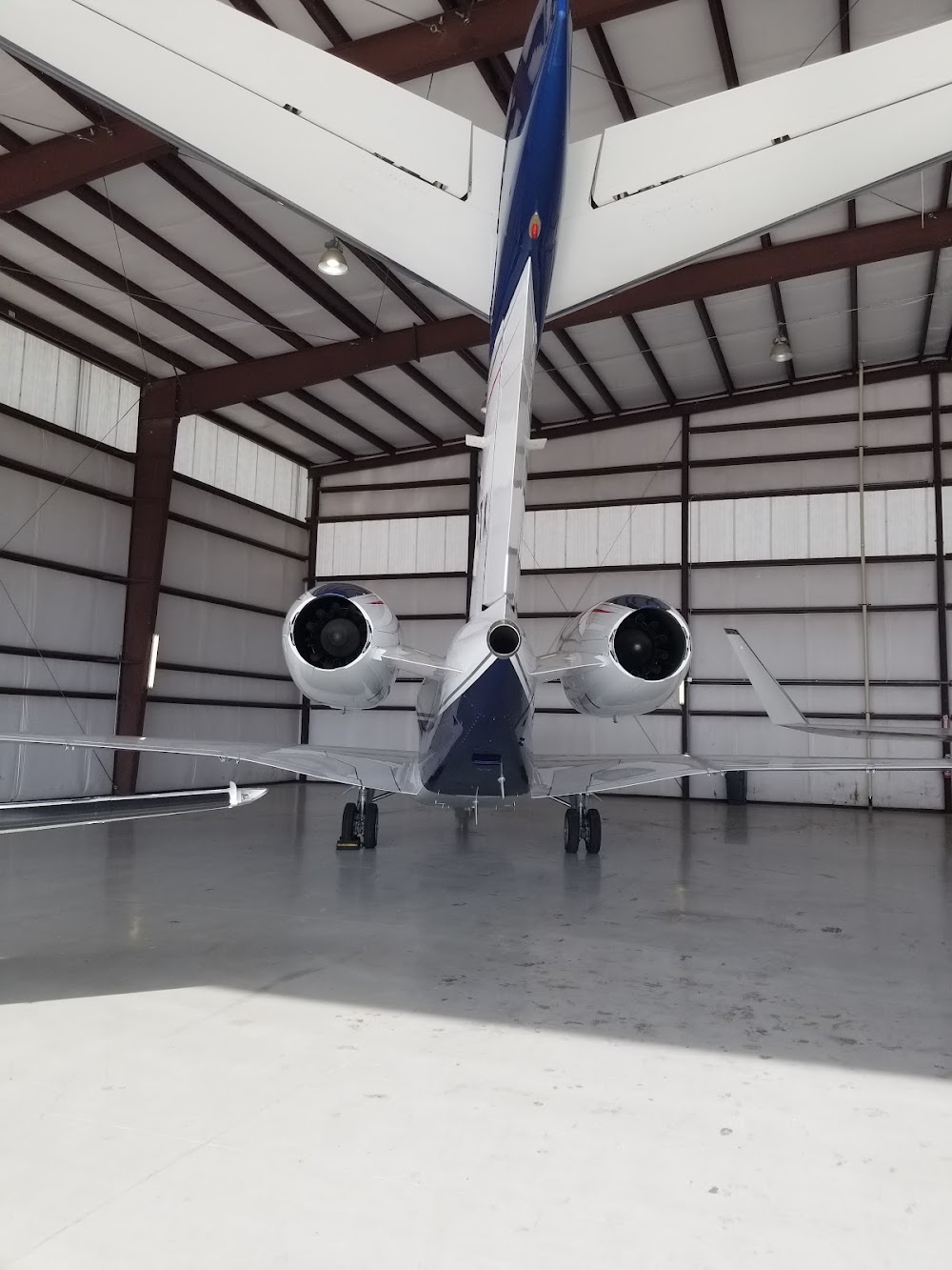
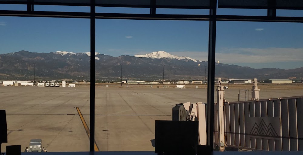
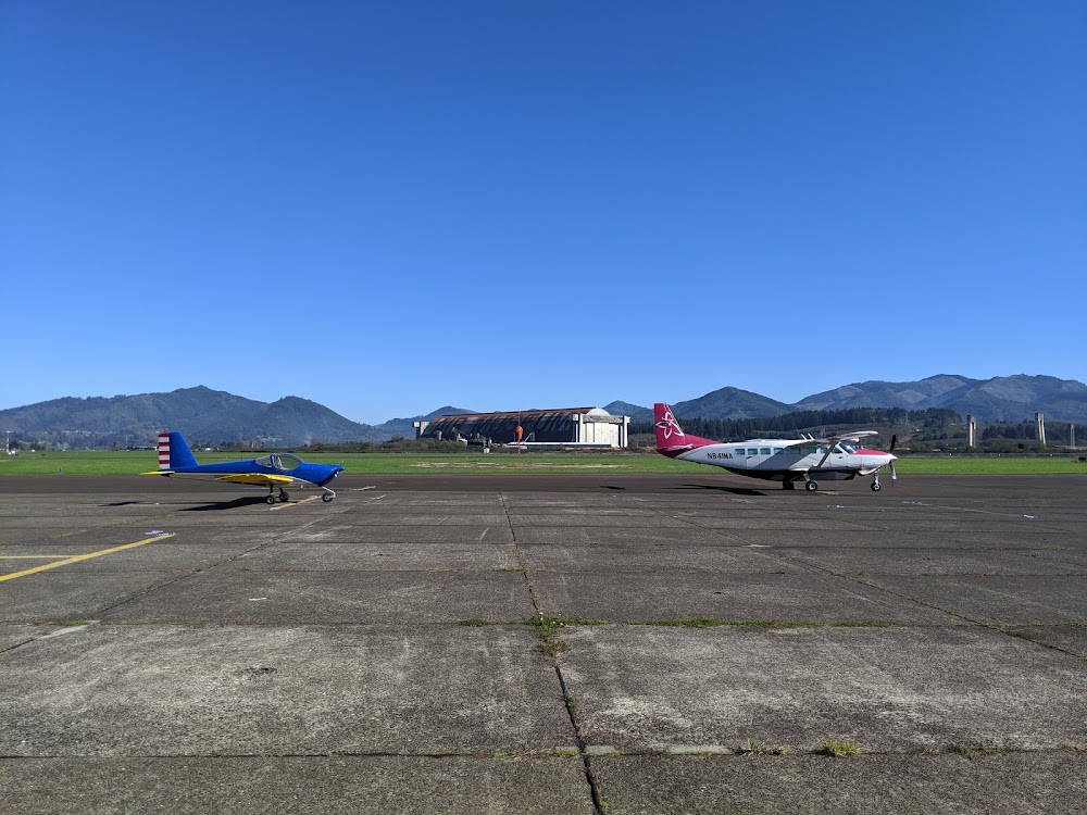
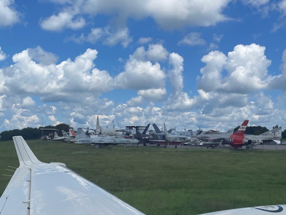
- Airport photos
- Landing & tie-down fees
- Crew car availability
Location:
Fort Worth, TX
Elevation:
710ft
Sectional:
Dallas Ft Worth
Activation date:
Feb 1938
Fuel:
100LL, A, A1+ (prices)
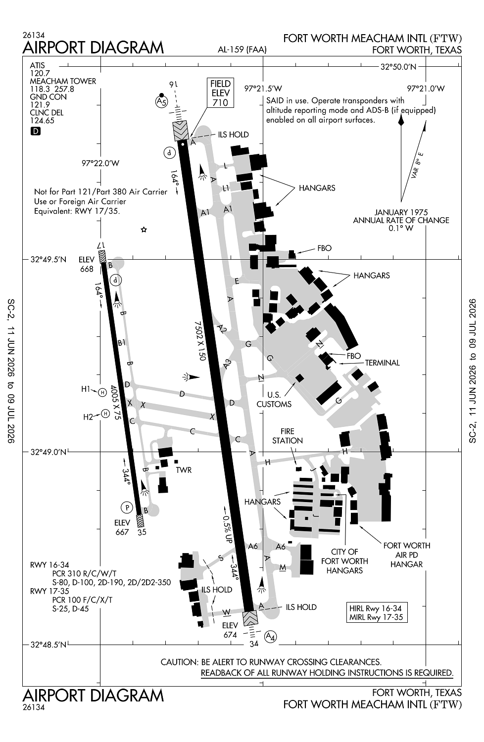
Runway 16/34:
7,502ft
Runway 17/35:
4,005ft
Runway H1:
35ft
Runway H2:
35ft
Access: Open to the public
Similar Airports
Current Weather — VFR
-
Weather data is strictly informational and not for flight planning purposes.
-
METAR2026-07-29 00:53:00 CDT
Ceiling: Sky clear Wind: 160° @ 6kt Temperature: 86°F Dewpoint: 69°F Weather: N/A Visbility: 10SM Raw:METAR KFTW 290553Z 16006KT 10SM CLR 30/21 A2985 RMK AO2 SLP096 T03000211 10361 20300 403780244 51013 $ -
TAF2026-07-29 01:00:00 CDT – 2026-07-30 01:00:00 CDT
Ceiling: Sky clear Wind: 180° @ 9kt Weather: N/A Visbility: 6SM Clouds: Few @ 25,000ft Raw:TAF KFTW 290521Z 2906/3006 18009KT P6SM FEW250
Click/tap to add an annotation marker to the map
No webcams added yet.
Remarks
- Arff index a or higher avbl all users with ppr.
- Birds on & invof arpt.
- Twys b, b1, c, and d west of rwy 16/34, m east of twy a, twys h, j, l, l1, s, w, and twy g se 650 feet clsd to acft with more than 30 psgr seats.
- Rwy 17/35 designed for acft with wingspan of 49 ft or less. twys b & b1 designed for acft with wingspan of less than 79 ft. ry 16/34 & twys a, a1, and m designed for acft with wingspan less than 171 ft. all other twys designed for acft with wingspan of less than 118 ft.
- H1 & h2 helipads are vmc dalgt use only; non-movement area.
Comments