Pirep is a free, collaborative database of all public and private airports. All pilots are welcome to contribute their local knowledge to any airport, no registration required.
No upcoming events. Is anything happening here soon?
Last updated: 2023-05-24 00:22:16 CDT
Last updated: 2023-04-16 10:13:51 CDT
Last updated: 2023-04-16 10:13:51 CDT
Last updated: 2023-04-16 10:13:51 CDT
Airport Statistics
- Local flying clubs
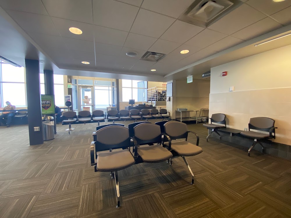
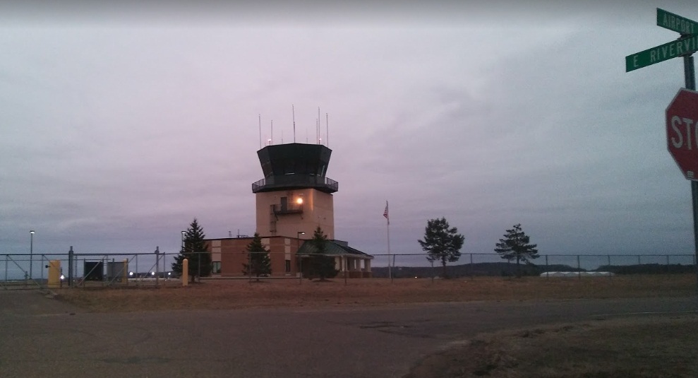
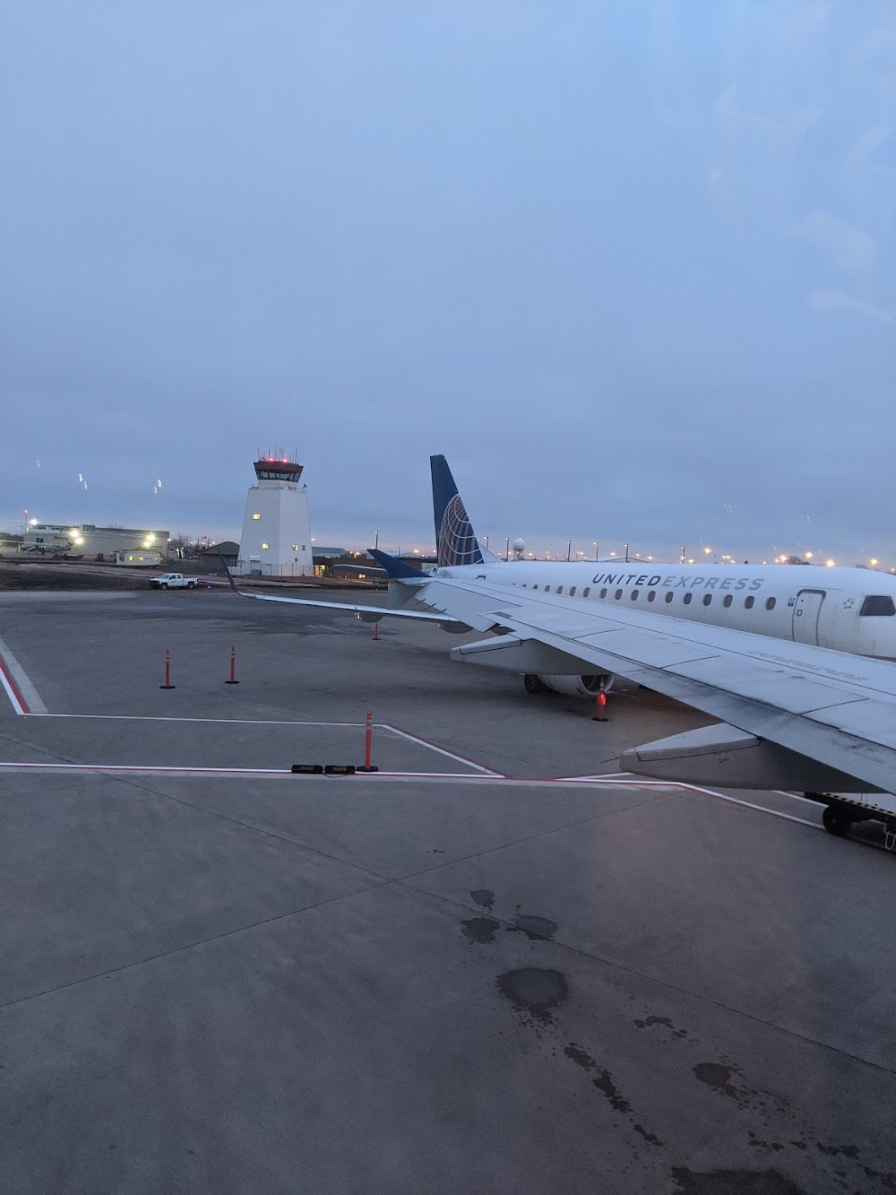
- Airport photos
- Landing & tie-down fees
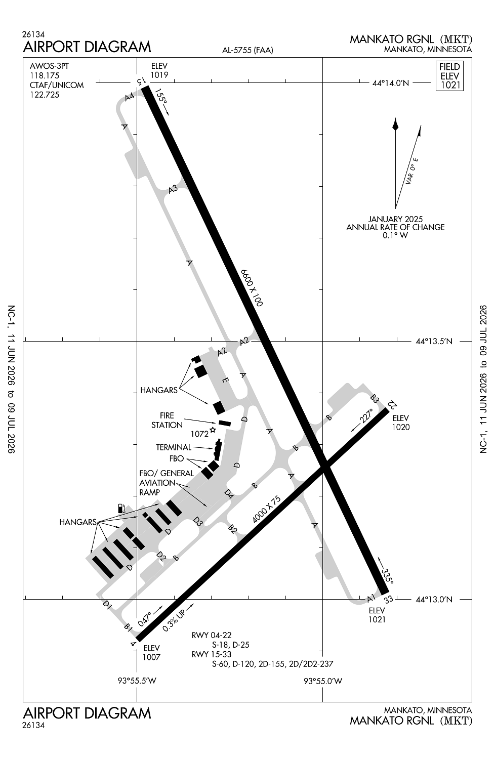
Location:
Mankato, MN
Elevation:
1,020ft
Sectional:
Omaha
Activation date:
Nov 1971
Fuel:
100LL, A+ (prices)
Runway 15/33:
6,600ft
Runway 04/22:
4,000ft
Access: Open to the public
Similar Airports
Current Weather — VFR
-
Weather data is strictly informational and not for flight planning purposes.
-
METAR2026-07-29 04:56:00 CDT
Ceiling: Sky clear Wind: 130° @ 5kt Temperature: 69°F Dewpoint: 69°F Weather: Mist Visbility: 6SM Raw:METAR KMKT 290956Z AUTO 13005KT 6SM BR CLR 21/21 A2995 RMK AO2 SLP138 T02110211 -
TAF2026-07-29 01:00:00 CDT – 2026-07-29 11:00:00 CDT
Ceiling: Sky clear Wind: 140° @ 4kt Weather: N/A Visbility: 6SM Clouds: @ ft Raw:TAF KMKT 290527Z 2906/3006 14004KT P6SM SKC FM291600 15007KT P6SM SCT080 -
TAF2026-07-29 11:00:00 CDT – 2026-07-30 01:00:00 CDT
Ceiling: Sky clear Wind: 150° @ 7kt Weather: N/A Visbility: 6SM Clouds: Scattered @ 8,000ft Raw:TAF KMKT 290527Z 2906/3006 14004KT P6SM SKC FM291600 15007KT P6SM SCT080
Click/tap to add an annotation marker to the map
No webcams added yet.
Remarks
- Deer & migratory waterfowl on & invof arpt.
- Intensive flight training.
- Fbo avbl on 123.5.
- Activate malsr rwy 33; reil rwy 04, 15 & 22; papi rwy 04, 15, 22 & 33; mirl rwy 04/22; hirl rwy 15/33 - ctaf.
- Tpa 2000 ft msl (lt tfc) for light acft, 2500 ft msl (lt tfc) for turbine acft & 2000 ft msl (rt tfc) for rotorcraft acft.
Comments