Pirep is a free, collaborative database of all public and private airports. All pilots are welcome to contribute their local knowledge to any airport, no registration required.


No upcoming events. Is anything happening here soon?
Last updated: 2023-11-05 02:00:31 EST
Airport Statistics
- Crew car availability
- Fuel pump location
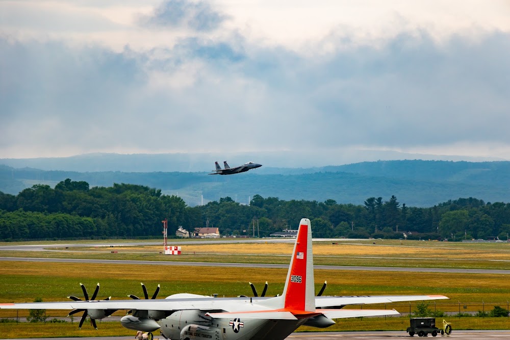
- Airport photos
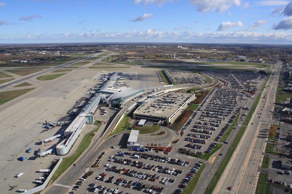
Location:
Youngstown/Warren, OH
Elevation:
1,191ft
Sectional:
Detroit
Activation date:
Jan 1938
Fuel:
100LL, A (prices)
Runway 14/32:
9,003ft
Runway 05/23:
5,002ft
Runway 143/323:
3,501ft
Access: Open to the public
Similar Airports

Current Weather — MVFR
-
Weather data is strictly informational and not for flight planning purposes.
-
METAR2026-07-29 02:51:00 EDT
Ceiling: 2,800ft Wind: 330° @ 8kt Temperature: 64°F Dewpoint: 60°F Weather: N/A Visbility: 10SM Clouds: Broken @ 2,800ft, Overcast @ 4,500ft Raw:METAR KYNG 290651Z 33008KT 10SM BKN028 OVC045 18/16 A2977 RMK AO2 SLP074 T01830161 $ -
TAF2026-07-29 02:00:00 EDT – 2026-07-29 08:00:00 EDT
Ceiling: 2,800ft Wind: 330° @ 6kt Weather: N/A Visbility: 6SM Clouds: Scattered @ 1,500ft, Broken @ 2,800ft Raw:TAF KYNG 290523Z 2906/3006 33006KT P6SM SCT015 BKN028 FM291200 36007KT P6SM BKN045 FM291600 35014G22KT P6SM BKN050 FM300000 33005KT P6SM SKC -
TAF2026-07-29 08:00:00 EDT – 2026-07-29 12:00:00 EDT
Ceiling: 4,500ft Wind: 360° @ 7kt Weather: N/A Visbility: 6SM Clouds: Broken @ 4,500ft Raw:TAF KYNG 290523Z 2906/3006 33006KT P6SM SCT015 BKN028 FM291200 36007KT P6SM BKN045 FM291600 35014G22KT P6SM BKN050 FM300000 33005KT P6SM SKC -
TAF2026-07-29 12:00:00 EDT – 2026-07-29 20:00:00 EDT
Ceiling: 5,000ft Wind: 350° @ 14kt, gusts 22kt Weather: N/A Visbility: 6SM Clouds: Broken @ 5,000ft Raw:TAF KYNG 290523Z 2906/3006 33006KT P6SM SCT015 BKN028 FM291200 36007KT P6SM BKN045 FM291600 35014G22KT P6SM BKN050 FM300000 33005KT P6SM SKC -
TAF2026-07-29 20:00:00 EDT – 2026-07-30 02:00:00 EDT
Ceiling: Sky clear Wind: 330° @ 5kt Weather: N/A Visbility: 6SM Clouds: @ ft Raw:TAF KYNG 290523Z 2906/3006 33006KT P6SM SCT015 BKN028 FM291200 36007KT P6SM BKN045 FM291600 35014G22KT P6SM BKN050 FM300000 33005KT P6SM SKC
Click/tap to add an annotation marker to the map

No webcams added yet.
Remarks
- Clsd to skedd acr ops gtr than 9 pax seats. 12 hrs ppr for unsked acr ops with more than 30 pax seats call arpt ops mgr 330-609-5007. arff index d avbl 12 hrs ppr ctc 330-609-1369.
- Deer & bird hazard. all mil acft ctc vader ops for bird watch cond.
- Twy 't' w of ry 5/23 clsd indefly.
- Twy g east of twy h & twy f north of ry 05/23 are clsd.
- Rstd: mil landing zone 143*-323* for mil use only. no practice apch 0300-1300z++. afrc acft opr rstd dur bird watch con moderate (tkof or ldg perms only when dep and arr rte avoid ident bird act, no lcl ifr/vfr tfc pat act) and severe (tkof and ldg proh wo og/cc apvl).
Comments