Pirep is a free, collaborative database of all public and private airports. All pilots are welcome to contribute their local knowledge to any airport, no registration required.
No upcoming events. Is anything happening here soon?
Last updated: 2023-06-16 19:49:19 EDT
Airport Statistics
- Airport photos
- Fuel pump location
- Local flying clubs
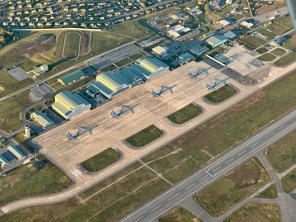
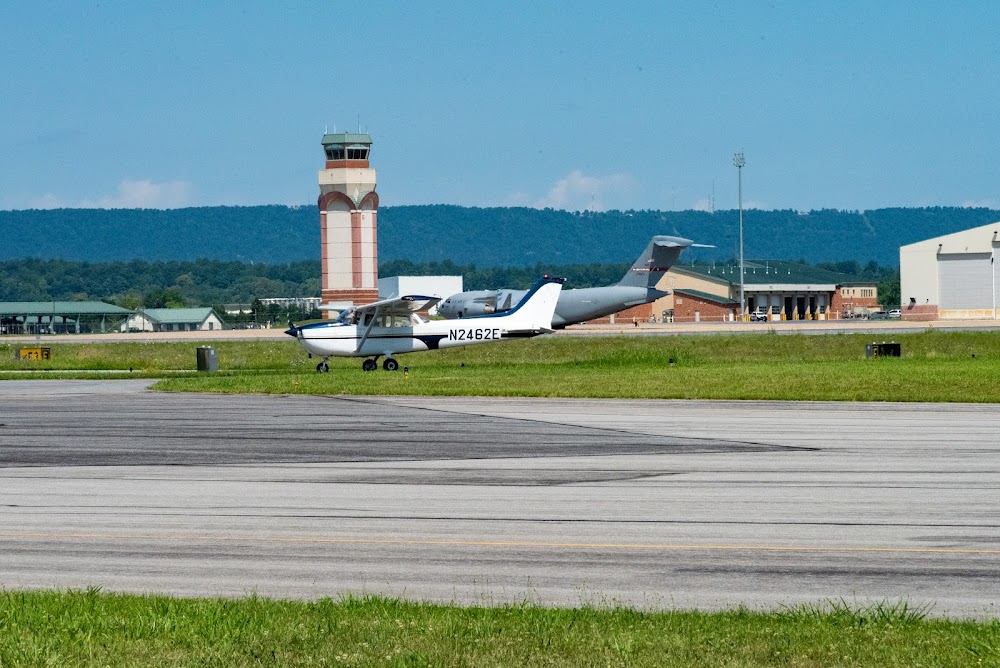
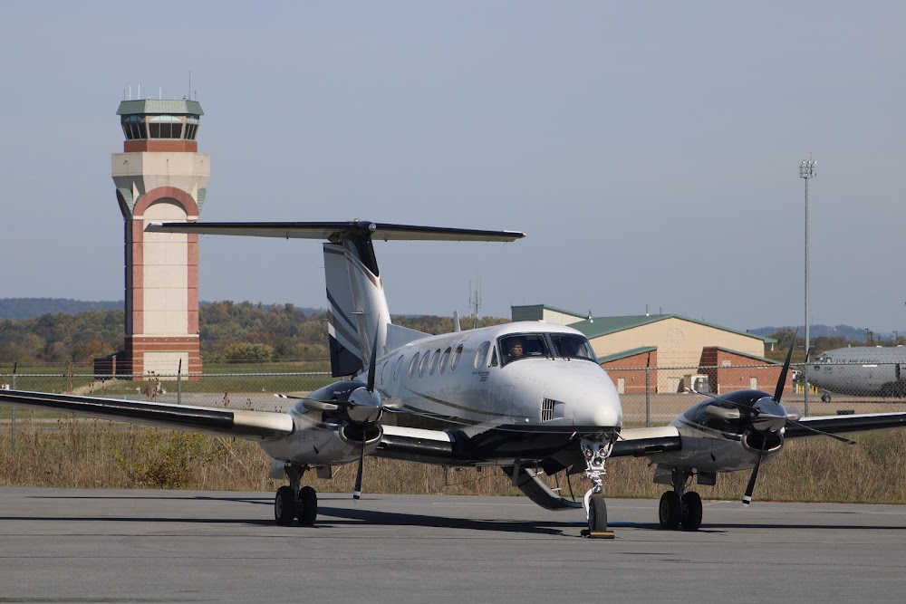
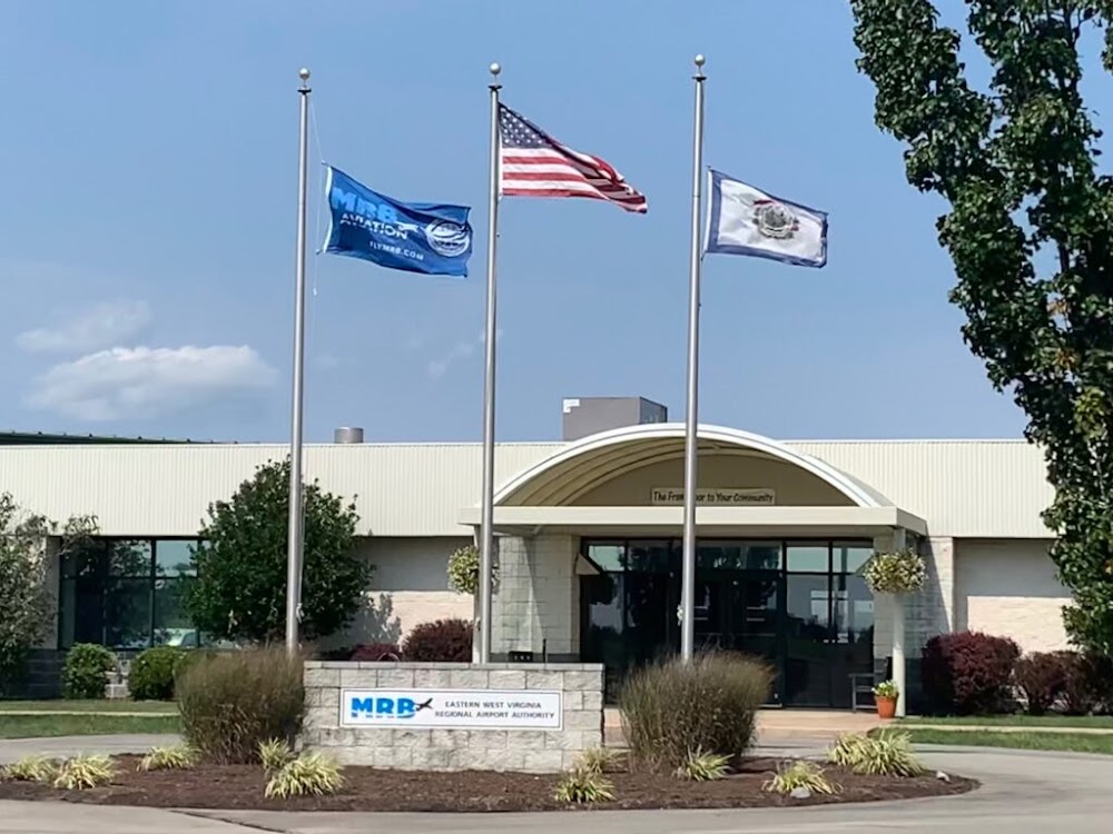
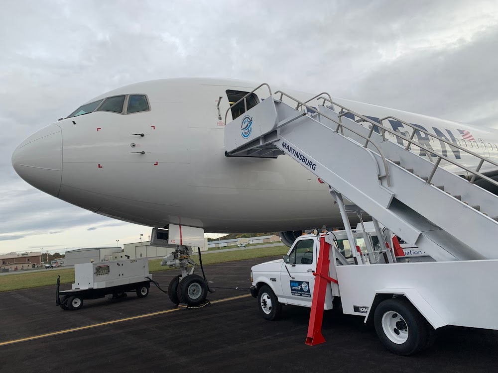
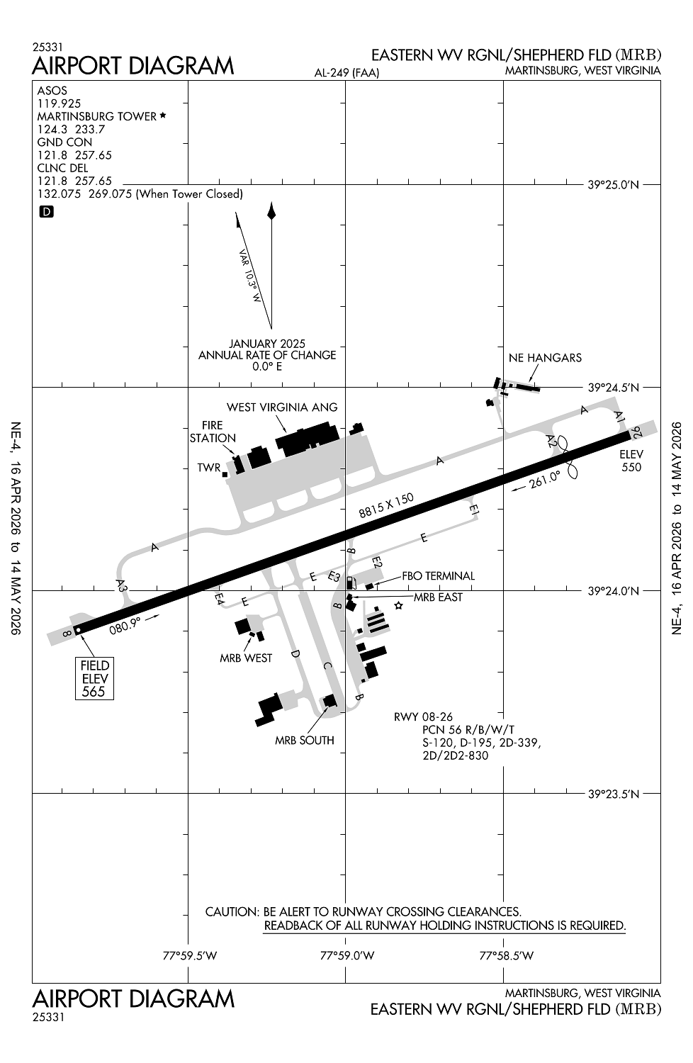
Location:
Martinsburg, WV
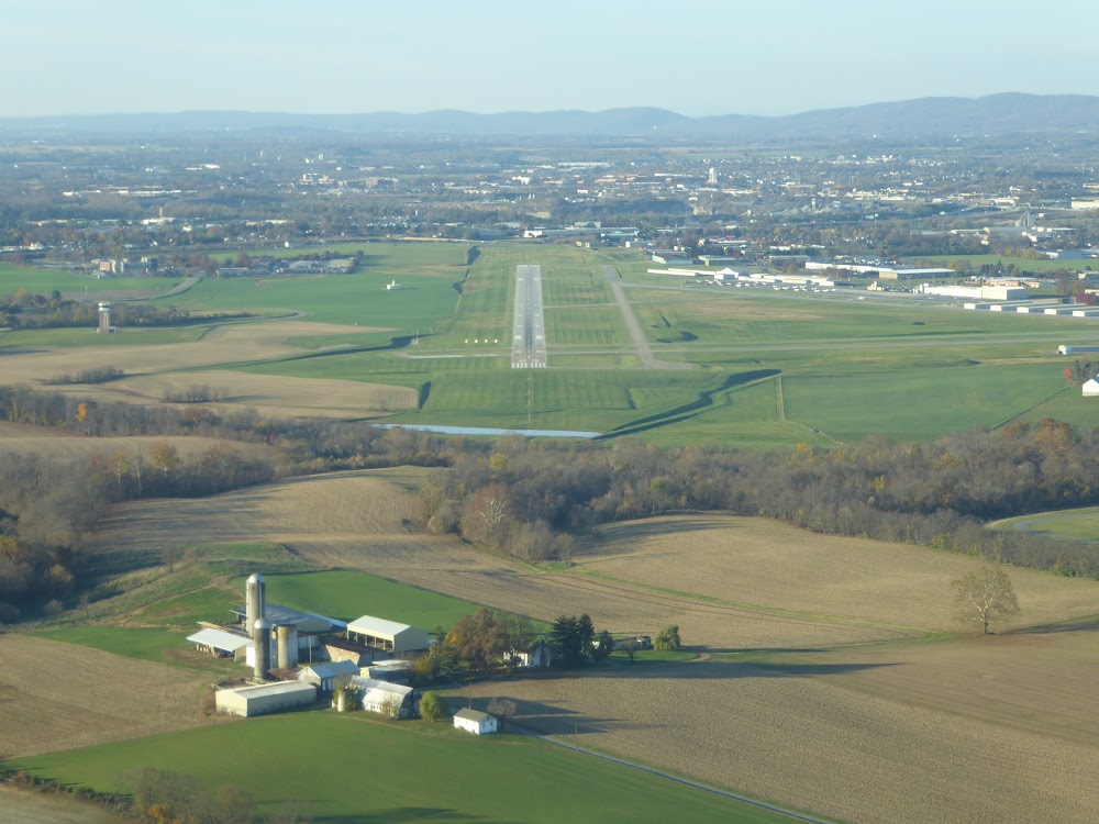
Elevation:
564ft
Sectional:
Washington
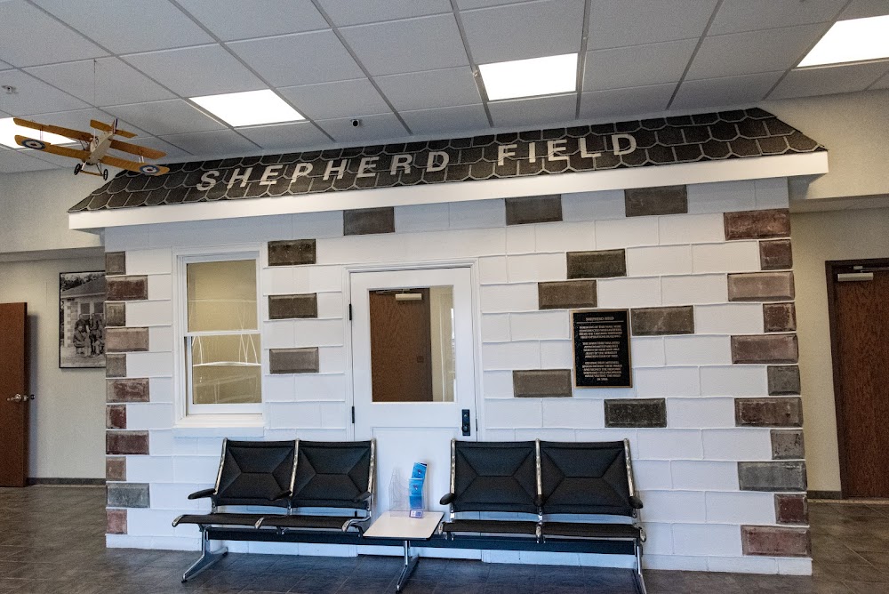
Activation date:
Jun 1938
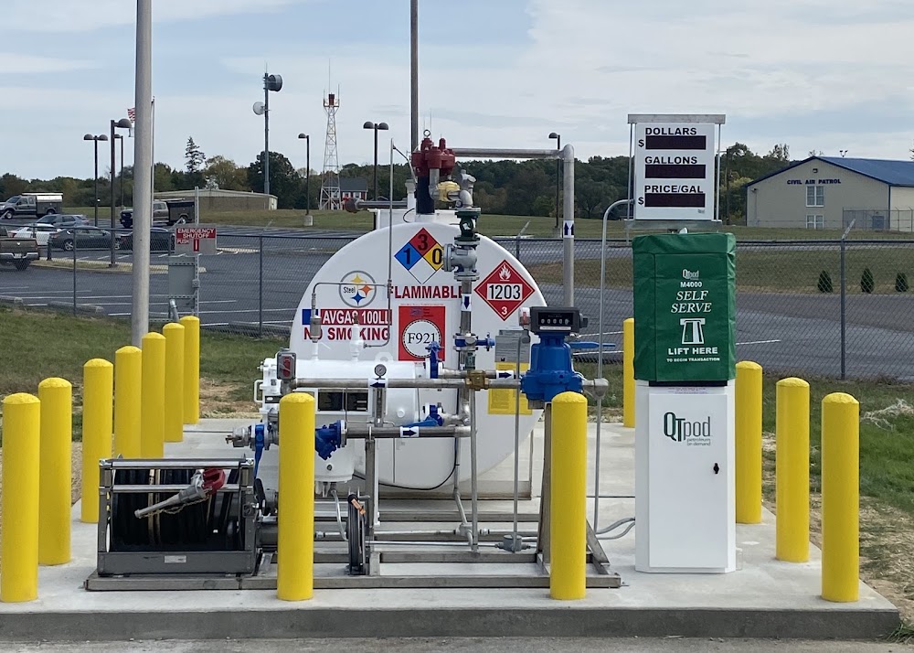
Fuel:
100LL, A, A++ (prices)
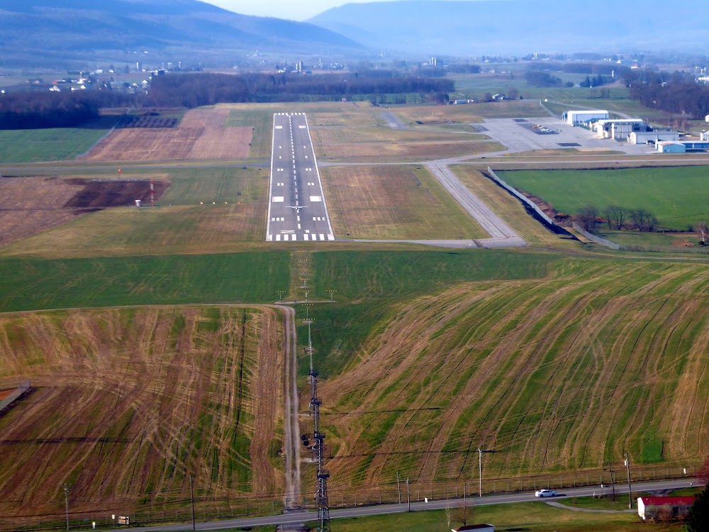
Runway 08/26:
8,815ft
Access: Open to the public
Similar Airports
Current Weather — VFR
-
Weather data is strictly informational and not for flight planning purposes.
-
METAR2026-05-17 08:53:00 EDT
Ceiling: Sky clear Wind: 180° @ 4kt Temperature: 64°F Dewpoint: 60°F Weather: N/A Visbility: 10SM Clouds: Scattered @ 5,500ft Raw:METAR KMRB 171253Z 18004KT 10SM SCT055 18/16 A3012 RMK AO2 SLP196 T01830156 -
TAF2026-05-17 09:00:00 EDT – 2026-05-17 11:00:00 EDT
Ceiling: 5,000ft Wind: 180° @ 5kt Weather: Light rain showers Visbility: 5SM Clouds: Broken @ 5,000ft Raw:TAF KMRB 171316Z 1713/1812 18005KT 5SM -SHRA BKN050 FM171500 19005KT P6SM BKN050 PROB30 1717/1720 3SM -TSRA BKN040CB FM172300 21004KT P6SM SCT090 BKN250 FM180400 17002KT P6SM SCT250 FM180900 00000KT 4SM BR SKC -
TAF2026-05-17 11:00:00 EDT – 2026-05-17 19:00:00 EDT
Ceiling: 5,000ft Wind: 190° @ 5kt Weather: N/A Visbility: 6SM Clouds: Broken @ 5,000ft Raw:TAF KMRB 171316Z 1713/1812 18005KT 5SM -SHRA BKN050 FM171500 19005KT P6SM BKN050 PROB30 1717/1720 3SM -TSRA BKN040CB FM172300 21004KT P6SM SCT090 BKN250 FM180400 17002KT P6SM SCT250 FM180900 00000KT 4SM BR SKC -
TAF2026-05-17 13:00:00 EDT – 2026-05-17 16:00:00 EDT
Ceiling: 4,000ft Wind: 000° @ kt Weather: Light thunderstorm rain Visbility: 3SM Clouds: Broken @ 4,000ft Raw:TAF KMRB 171316Z 1713/1812 18005KT 5SM -SHRA BKN050 FM171500 19005KT P6SM BKN050 PROB30 1717/1720 3SM -TSRA BKN040CB FM172300 21004KT P6SM SCT090 BKN250 FM180400 17002KT P6SM SCT250 FM180900 00000KT 4SM BR SKC -
TAF2026-05-17 19:00:00 EDT – 2026-05-18 00:00:00 EDT
Ceiling: 25,000ft Wind: 210° @ 4kt Weather: N/A Visbility: 6SM Clouds: Scattered @ 9,000ft, Broken @ 25,000ft Raw:TAF KMRB 171316Z 1713/1812 18005KT 5SM -SHRA BKN050 FM171500 19005KT P6SM BKN050 PROB30 1717/1720 3SM -TSRA BKN040CB FM172300 21004KT P6SM SCT090 BKN250 FM180400 17002KT P6SM SCT250 FM180900 00000KT 4SM BR SKC -
TAF2026-05-18 00:00:00 EDT – 2026-05-18 05:00:00 EDT
Ceiling: Sky clear Wind: 170° @ 2kt Weather: N/A Visbility: 6SM Clouds: Scattered @ 25,000ft Raw:TAF KMRB 171316Z 1713/1812 18005KT 5SM -SHRA BKN050 FM171500 19005KT P6SM BKN050 PROB30 1717/1720 3SM -TSRA BKN040CB FM172300 21004KT P6SM SCT090 BKN250 FM180400 17002KT P6SM SCT250 FM180900 00000KT 4SM BR SKC -
TAF2026-05-18 05:00:00 EDT – 2026-05-18 08:00:00 EDT
Ceiling: Sky clear Wind: Calm Weather: Mist Visbility: 4SM Clouds: @ ft Raw:TAF KMRB 171316Z 1713/1812 18005KT 5SM -SHRA BKN050 FM171500 19005KT P6SM BKN050 PROB30 1717/1720 3SM -TSRA BKN040CB FM172300 21004KT P6SM SCT090 BKN250 FM180400 17002KT P6SM SCT250 FM180900 00000KT 4SM BR SKC
Click/tap to add an annotation marker to the map
No webcams added yet.
Remarks
- Deer & birds on & invof arpt.
- Twy b clsd fm fuel farm s.
- Nstd white aerospace gnd and eqpt gearboxes.
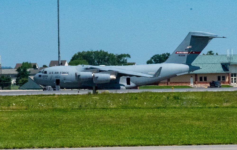
- Military: ang: all mil acft must ctc pikeside (297.9) 20 min prior to ldg and prior to engine start. dsn 242-5205, c 304-616-5205. flt plans may be filed by efb or other flight plan filing software. send to 167.aw.airfield.management@us.af.mil.
- Addnl rwy 08/26 wt brgs: 2s-175; 2d/d1-568; 2t-585; c5-840.
Comments